First Impressions
No. 07 - Part 01 - Derby Road
w/e 30 October 2022
All of this week's pictures were taken with a Nikon D3300
Although this 7th of the nine
roads into Ilkeston follows Derby Road. it actually starts in
the Parish of West Hallam on High Lane East.
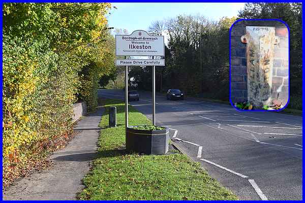
The "Welcome to Ilkeston" sign stands just after the
entrance to the Straw's Bridge Nature Reserve but an older boundary
marker dated 1879 (inset) can be found by the wall on the left
of this picture.
|
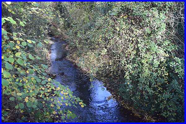
That wall is part of the bridge (not Straw's Bridge) over the
Nut Brook.
|
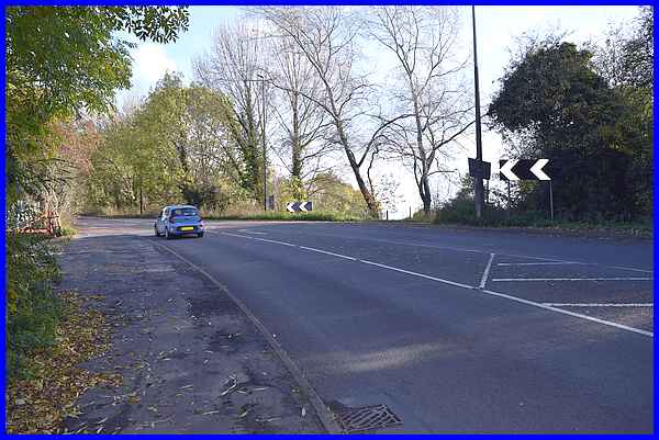
Straw's Bridge itself was actually built and opened in 1794 over
the adjacent Nutbrook Canal where the Derby Road now sweeps round
the bend to start the rise up the hill into Ilkeston. The
Friends of Straw's Bridge website has
a lot more information about the area and is well worth investigating
further but it includes the following:
"It was originally known as Moor's Bridge. After the
opening of the canal an overseer's house was built next to the
canal on the right hand side of the road (heading for Ilkeston).
In 1844 a man called Samuel Straw was employed as overseer and
he moved into the house. He was paid 18 shillings per week and
the house was rent-free. From that time the bridge came to be
called Straw's Bridge."
The original bridge was demolished and replaced in the 1930s.
The track on the right between the chevrons, in the picture above,
leads along the line of the old canal to Kirk Hallam.
|
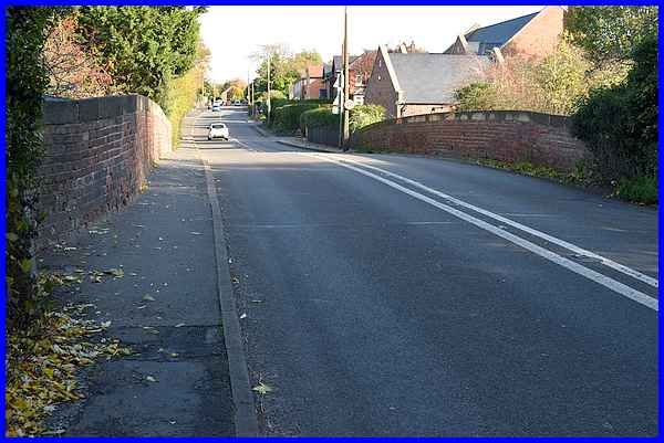
Once around the bend the road rises over another bridge, this
one over the former Nutbrook Branch of the Midland Railway line.
|
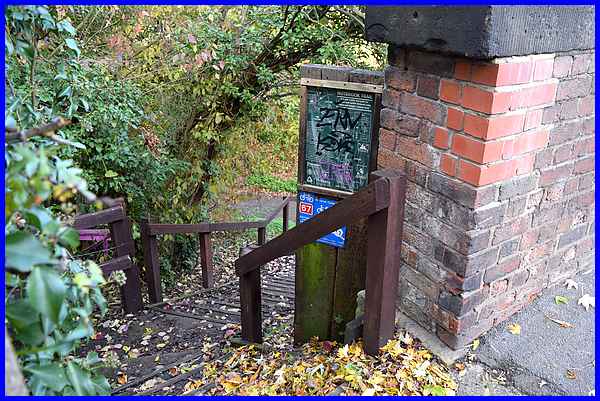
The route of the line now forms part of the Nutbrook Trail from
Long Eaton to Heanor and steps down from the bridge give access
to the Trail.
|
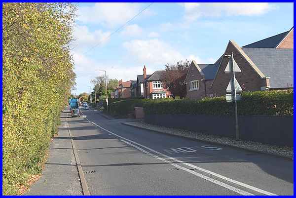
Once over the bridge we enter a residential part of the town.
Properties on the right are visible here but the rear gardens
of those on the left are shielded by the high hedge line.
|
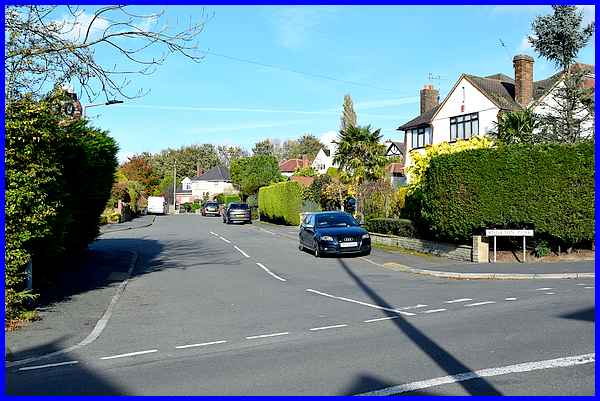
Those properties on the left are on Kniveton Park, a small roughly
oval shaped estate with just one vehicular access which is from
Derby Road.
|
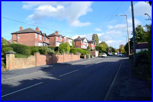
After Kniveton Park there are more properties, many of which
on the left are accessed by steep dives. I don't envy postal
and delivery people especially in the winter months when icy
conditions could make their employment quite dangerous when delivering
to these properties.
|
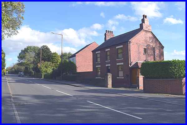
At the brow of the hill where Derby Road turns slightly to the
left is probably one of the oldest remaining houses on the road.
(Older prpoerties at the top of Derby Road have now been demolished.)
Old maps show a number of small buildings here and later ones
as the area began to be developed, another building which could
possibly be the one in the foreground here now named Myrtle Cottage,
is also shown.
|
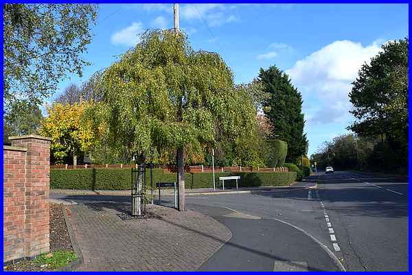
On the other side of the road (roughly opposite that row of smaller
buildings) and standing a little way from it, those same old
maps show a windmill that was used for producing flour. As time
went on, more properties were built, the windmill became disused
and was eventually demolished. The site behind the later properties
has now been developed as the Manor Fields Drive housing estate
which once again, like Kniveton Park, has just the one vehicular
access from Derby Road.
|
