Although this is a circular walk around Sandiacre,
in this part we walk up to Stoney Clouds but will have to retrace
our steps along Church Drive to Starch Lane before continuing
in the next part.
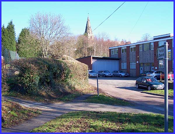
 We left our
walk in Part 5 at the eastern end of Starch Lane and having progressed
to the western end (left) we pick up the walk at the junction
with Church Drive (above). We are now near the very heart of
the original settlement of Sandiacre, the name being a derivation
from the Saxon words 'sond' and 'oecer' meaning 'sandy' and 'field'
respectively. In William the Conqueror's time when Sandiacre
was listed in the Domesday Book, it had approximately 70 residents
but it is thought that there would have been a settlemnet here
much earlier than that. It is quite possible that the settlement
was on The Porteway, an ancient routeway. We left our
walk in Part 5 at the eastern end of Starch Lane and having progressed
to the western end (left) we pick up the walk at the junction
with Church Drive (above). We are now near the very heart of
the original settlement of Sandiacre, the name being a derivation
from the Saxon words 'sond' and 'oecer' meaning 'sandy' and 'field'
respectively. In William the Conqueror's time when Sandiacre
was listed in the Domesday Book, it had approximately 70 residents
but it is thought that there would have been a settlemnet here
much earlier than that. It is quite possible that the settlement
was on The Porteway, an ancient routeway.
|
There is also a possibility that Dale Abbey and Lenton Priory
were sited near to The Porteway which gave rise to the local
name of 'Monks Way'. (Of course I did a whole feature on the
Stones of The Monks Way on this site earlier and it can be seen
here).
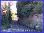
Church Drive though is named because of its proximity to the
Church of St Giles which stands on top of the bank on the right
of this image. I attempted several shots of the church from various
angles and different positions but a bright sun in a clear sky
proved difficult, not that I am complaining.
|
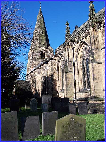
This is one of the better shots. It shows the thirteenth century
broach spire to good effect but internal views of Saxon and Norman
details in the nave walls and chancel arch were not possible.
It is perhaps a sad reflection but a neccesary requisite of these
modern times that St Giles, like many other churches, needs to
be locked when left unattended. The chancel dates from the mid-fourteenth
century.
|
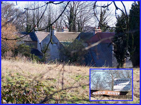
Beyond the church and the cemetery is Cloud House. The name is
proudly displayed on the gate (inset) but is accompanied by a
warning that 24 hour CCTV recording is in operation. Apparently
the property was sold at auction a little while ago and some
restoration work has begun so only long distant views from the
road are possible - the above being captured with the aid of
the zoom lens. Cloud House was once owned by Rev. Joseph Jackson,
willed to Dame Borlace Warren of Stapleford Hall and once held
the trout fishing rights in the nearby River Erewash, not that
I think there are many trout in the Erewash these days.
|
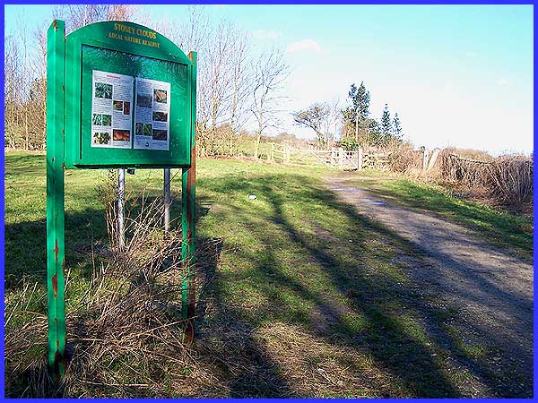
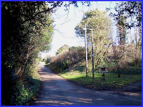
At the end of Church Drive is the entrance to the Stoney Clouds
Nature Reserve. 'Clouds' is another derivative of a Saxon word
'clud' meaning 'hill' although it has often been suggested that
from a distance the rocky outcrops resemble clouds. And from
a distance the sandstone escarpment may well have been seen by
the Romans who are thought to have used the springs that were
believed to have healing qualities at its foot.
|
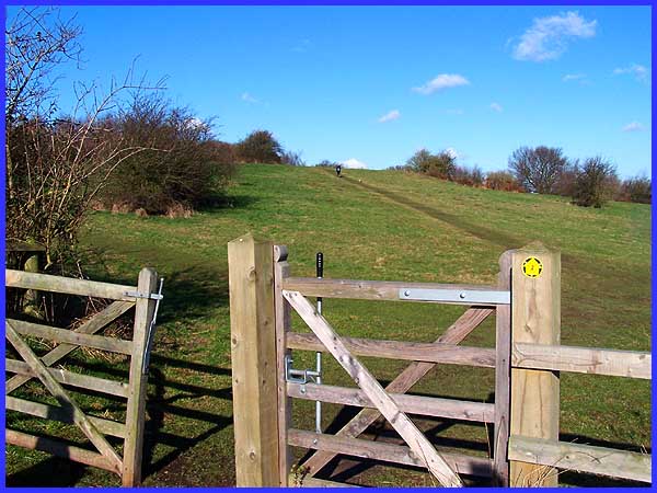
Today, as well as being a nature reserve where small mammals,
amphibians and a variety of birds find conditions to suit them
all, Stoney Clouds is also popular with the local human population.
I am told it is an ideal location when snow is on the ground
for sledging and even skiing and at other times it is an excellent
place on the edge of the village for walking, exercising dogs
or just being out in the open air. All the paths lead eventually
to the top of the outcrop from where there are some good views
over the Erewash Valley.
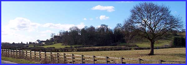
Below the escarpment is an area of mixed woodland
including hazel, ash, oak and silver birch trees and is seen
here from the road to Ilkeston. In the next part we will return
down Church Drive to pass St Giles' Church again - its spire
can just be seen near the left edge of the trees in this image
- but if you would like to see more of Stoney Clouds, there are
some more
images here from when I visited there in January 2003.
Note to self: Why do I always pick cold and frosty weather
to go there?
|