Ilkeston Town Walk - Stage 16 - The Market Place (East
Side)
w/e 14 December 2003
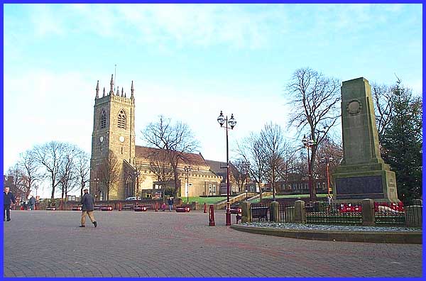
The eastern side of the Market Place is taken up entirely by
the church and grounds of St Mary's. The church was founded around
1150 and extended during the reign of Henry III (1217-72). A
steeple surmounted the tower until it was badly damaged by a
storm in 1714. A new tower was not constructed due to lack of
funds until 1731 but ten years later the roof of the chancel
fell in and it was not until 1854 that enough money could be
raised to finance a complete restoration.
|
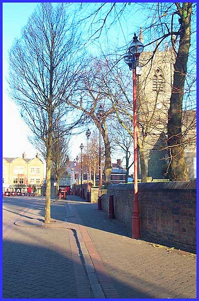
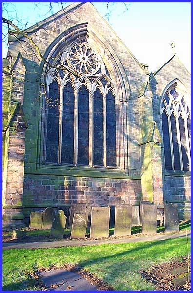
 Further alterations to St Mary's
took place in 1909/10 when the nave was extended and the tower
moved westwards. This view along the church wall also shows more
recent changes to the area occasioned by a pedestrianisation
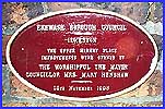
scheme. A commemorative plaque on the wall reads "Erewash
Borough Council, Ilkeston. The Upper Market Place improvements
were opened by the Worshipful the Mayor, Councillor Mrs Mary
Henshaw. 18th November 1993" Further alterations to St Mary's
took place in 1909/10 when the nave was extended and the tower
moved westwards. This view along the church wall also shows more
recent changes to the area occasioned by a pedestrianisation
scheme. A commemorative plaque on the wall reads "Erewash
Borough Council, Ilkeston. The Upper Market Place improvements
were opened by the Worshipful the Mayor, Councillor Mrs Mary
Henshaw. 18th November 1993"
|
The churchyard was closed for burials in 1852 and following World
War II, part of it was made into a Garden of Remembrance to honour
the fallen. Since then, the Cantelupe Community Centre has also
been built in the churchyard and can be seen here behind the
Garden of Remembrance.
|
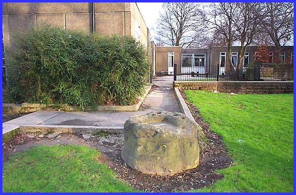
In front of the Cantelupe Centre is this large lump of stone.
An engraved plate on the top shows that the stone was the base
of a mediaeval cross that originally stood in the Lower Market
Place.  The plate is difficult
to read but shows that the stone was presented by Mr C Wood Esq
and gives the date as September 1958. This picture above also
shows the Cantelupe Centre, the name Cantelupe coming from the
family that owned the manor of Ilkeston in the thirteenth and
fourteenth centuries. The plate is difficult
to read but shows that the stone was presented by Mr C Wood Esq
and gives the date as September 1958. This picture above also
shows the Cantelupe Centre, the name Cantelupe coming from the
family that owned the manor of Ilkeston in the thirteenth and
fourteenth centuries.
|
There are still some headstones in the churchyard and here
beneath the east window of St Mary's all of them bear the name
"Cocker" a prominent Ilkeston family during the seventeenth
and eighteenth centuries.
|
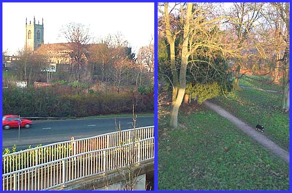
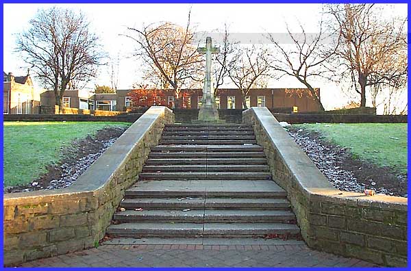
When the churchyard was closed for burials in 1852, an extension
was made into Hallcroft but now the two sections are bisected
by the inner relief road, Chalons Way, and neither is now used
as a burial ground. From the footbridge over the road both sections
of the churchyard can now be seen.
|
