First Impressions
No. 01 - Part 02 - Millership Way
w/e 01 February 2009
All this week's pictures were taken
with a Kodak DX6490
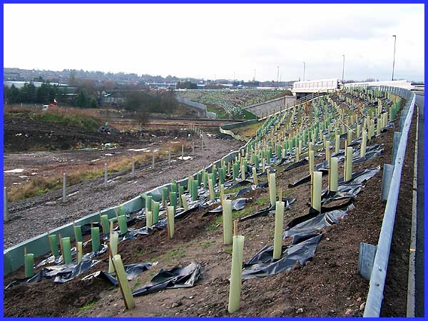
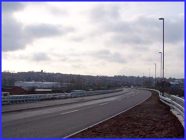
Part 1 took us from the approaches to the part of Ilkeston known
as Ilkeston Junction from Awsworth and Cossall onto the new link
road called Millership Way. As we start our walk along the road,
one of the first things that catches the eye is the number of
young trees that have been planted on the embankment. There must
be literally hundreds of these saplings all protected and supported
by plastic tubes and sheeting on both sides of the road. In the
fullness of time, these trees should grow to shield the road
and obscure the views but for the moment they stand in rows like
a battalion of soldiers ready to march.
|
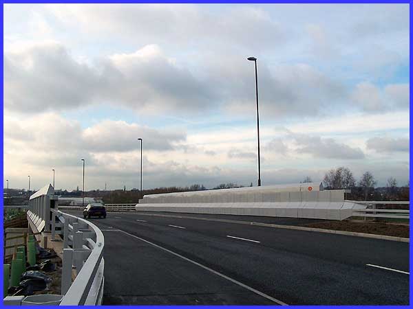
The construction of the link road has necessitated the building
of three new bridges and the first one we reach is over the railway
lines. For much of its length the River Erewash is the boundary
between Nottinghamshire and Derbyshire but at Ilkeston Junction,
the boundary has been realigned to include a portion of land
to the east of the river so once we have crossed this bridge
we will also have crossed the county boundary into Derbyshire.
|
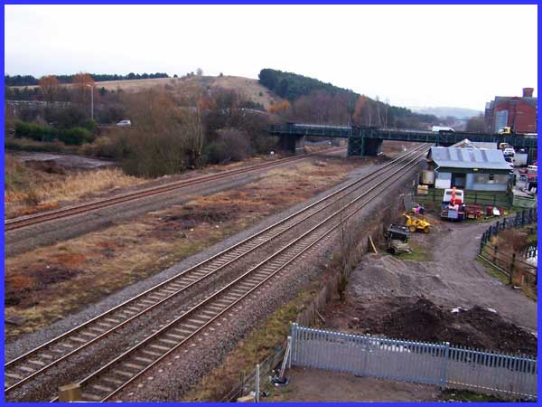
Looking south from the railway bridge there are at least three
things worth mentioning. They are the slag heap of the former
Cossall Colliery which for a time was used as a ski slope; the
space between the tracks where Ilkeston Junction Station once
stood and from which the area takes its name and the narrow bridge
that was the main route into Ilkeston until the construction
of Millership Way. In fact that bridge is actually two adjacent
parallel bridges, one for vehicular traffic and another this
side for pedestrians.
|
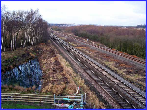
To the north along the Erewash Valley the tracks that were originally
the Midland Railway can be seen coming together as they leave
the station site whilst in the distance is the Bennerley Viaduct
which carried the Great Northern Railway across the valley.
|
The new link road roughly follows the route that a branch line
from the Midland Railway took into the Town Station at the bottom
of Bath Street. This view from the north side of the road also
shows that, except at the bridge positions, only the south side
is tarmaced as a foot and cycle path. To the left of the picture
both the tower of St Mary's and the spire of the URC can be picked
out on the skyline whilst the large warehouse-like buildings
are the units on the Waterside Retail Park off Station Road.
|
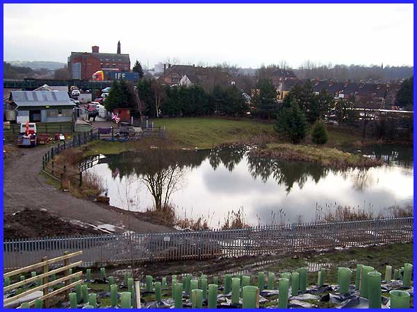
Crossing back to the south side another look from close to the
railway bridge shows a pond that has been unnoticed for many
years as it was not generally visible from the usual routes into
town. We can also see the large factory building that now houses
the Armstrong Mill retail outlet and another large lorry heading
for the old narrow bridge. Although Millership Way is taking
some traffic off the Station Road route to and from the Awsworth
bypass I do wonder if it will ever succeed in reducing it to
any significant levels. Delivery vehicles and customers are still
going to use Station Road to access the industrial and retail
units at Ilkeston Junction.
|
