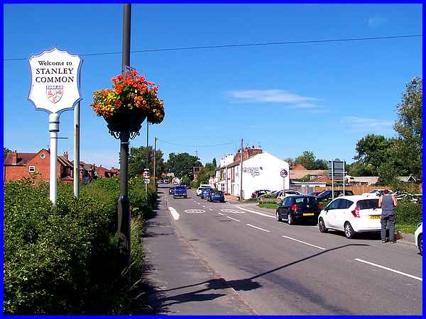
Stanley Common - Belper Road
w/e 25 August 2019
All of this week's pictures were
taken with a Kodak DX6490
Anyone driving along the A609 from Ilkeston to Smalley
will hardly notice where West Hallam changes almost imperceptibly
into Stanley Common but with a pub, a garage, a few shops, a
school, a church and even a farm, all of which we shall see in
the walk along Belper Road, it has all the attributes to be called
a village in its own right.
The farm stands right on the boundary between West Hallam and
Stanley Common but since we visited in 2017 (link) there have been some substantial
alterations to the Farm Shop and a Coffee Shop has now been opened
too. The name Oakfield Farm is painted on the first building
of the terrace on the right and for many years the other white
building at the far end of the terrace sported the name of Denver
Bakery but sadly this has now gone.
|
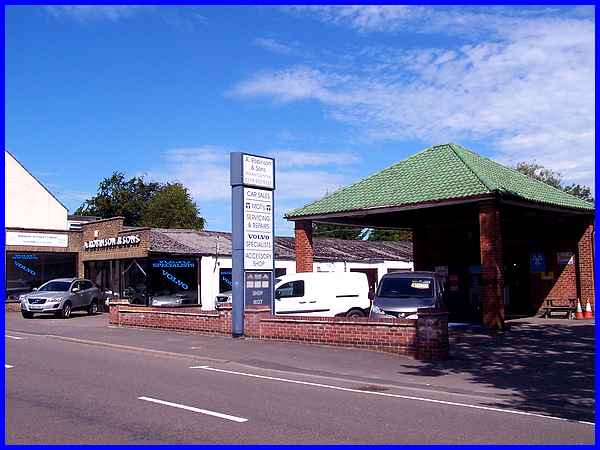
What has remained however is Robinson's Garage a little further
along the road.
|
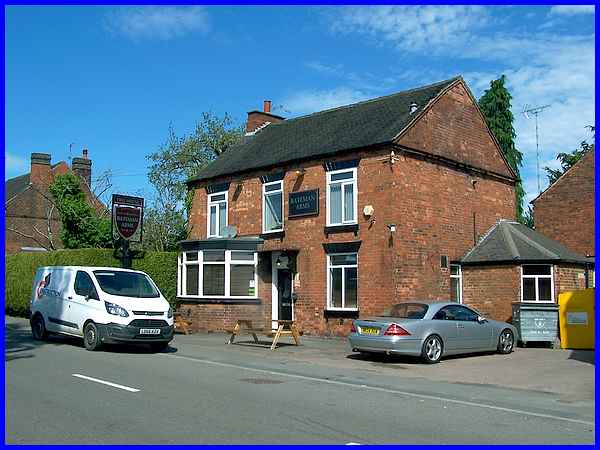
The village pub a little further on is called The Bateman Arms.
|
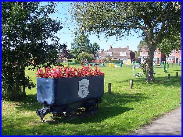
On the left detached, semi-detached and terraced housing give
way to the recreation ground which as well as the children's
play equipment also has a football pitch. Common Lane at the
side of the recreation ground leads to a number of farms and
through to Stanley Village (see Village Trail). It also leads to
some post war housing that the casual visitor driving along Belper
Road may be unaware of. The flower decorated coal wagon serves
as a reminder of the area's mining history and features a "Welcome
to Stanley Common" sign.
|
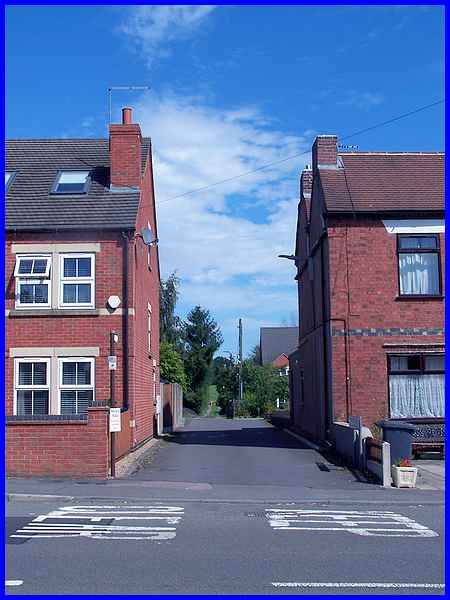
Across from the Recreation Ground two narrow streets lead off
Belper Road between the old terraced properties and their names
also indicate previous industrial activities. The one pictured
above is called The Ropewalk and another bears the name The Old
Brickyard.
|
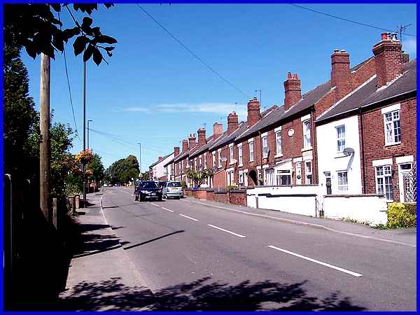
Sporadic buildings on the left of Belper Road after Common Lane
has filled in since the start of the last century but the terraces
on the right predate most of them by a number of years. The stonework
on the first house on the right after the white cottage reads
"Dolphin Terrace 1896".
|
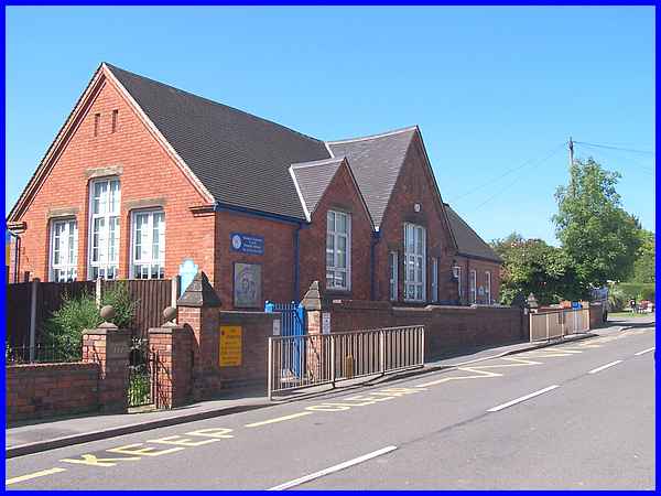
An 1881 map shows very little on the left hand side of the road
apart from another lane called The Ropewak and a school for girls.
There is still a school here today which is the Stanley Common
C of E Primary School.
|
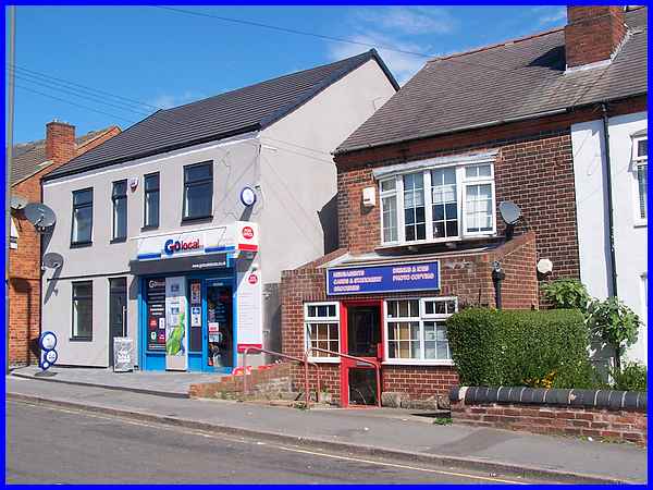
Directly across from the school is a shop containing something
that many villages have lost in recent years - a Post Office.
|
By 1900 the land to the left after the school had become allotment
gardens but now housing lines both sides of the road broken only
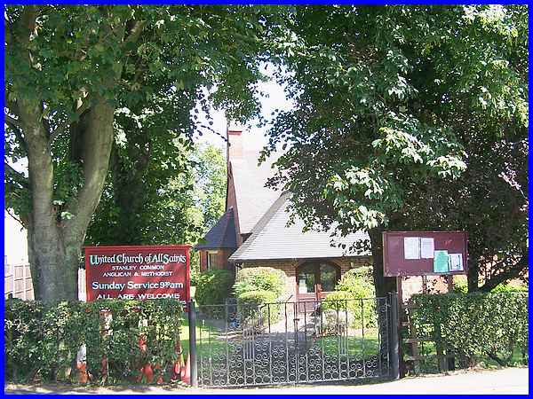
by the United Church of All Saints on the right. The church was
built in 1913 as an Anglican church that merged with Stanley
Common Methodist Church in 2003 to became the United Church.
|
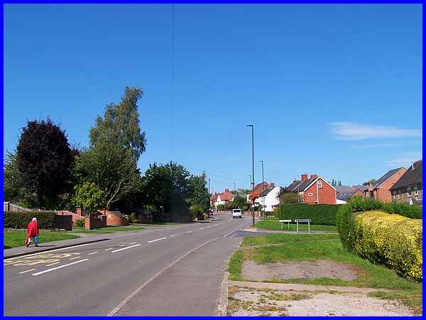
As Belper Road continues past the church and round the corner,
this part of the village becomes known as Smalley Common. This
was originally a small village separate from Stanley Common but
is now part of the latter.
|
