Potter's Loop - Part 01
w/e 02 February 2020
All of this week's pictures were
taken with a Kodak DX6490
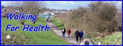
This Walking For Health route is from the Monday
Strollers' programme of walks and is a little under three miles
in length. Participants in WFH groups walk at their own pace
and the idea is to start slowly, build up speed in the middle
and slow down towards the end. Walking on my own on a bright
and breezy Saturday morning I completed the circuit, including
stops for photos, at a fairly brisk pace throughout in 56 minutes.
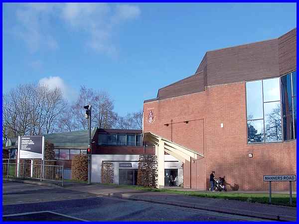
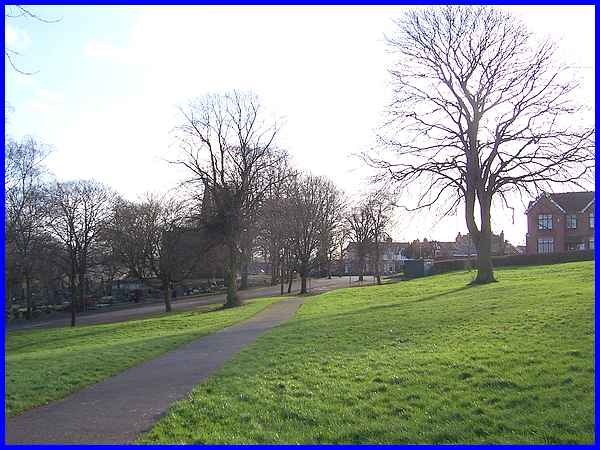
Like several other Monday Strollers' walks this one started at
the Victoria Park Leisure Centre and crossed the road into Victoria
Park.
|
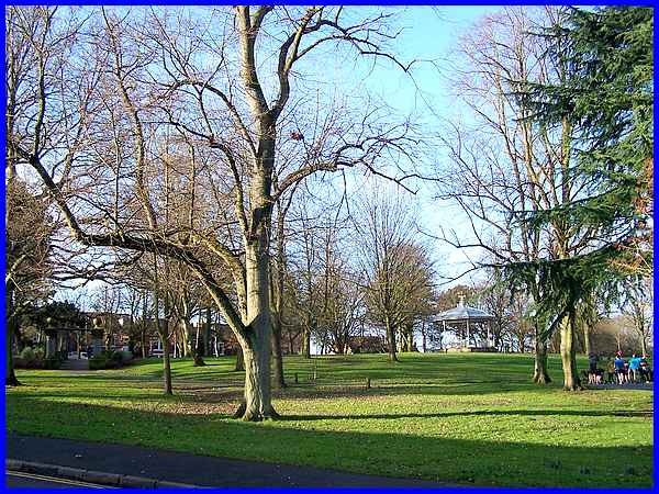
Instead of wending my way through the park I took a more direct
route along its edge on Bristol Road. I think I can be forgiven
for taking the short cut as I had already walked about a mile
and a half to the starting point from home.
|
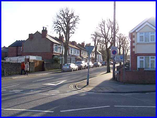
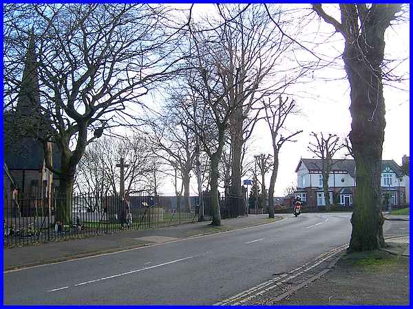
The first half of the WFH route follows the same one as the Gallows Inn Linear route
until it reaches Potter's Lock on the Erewash Canal. This means
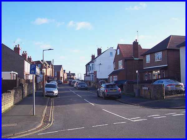
leaving the park at the Drummond Road entrance and walking along
New Lawn Road, crossing Lord Haddon Road (above) as far as St
Mary Street. The sign pointing to the Market Place is still correct
but the Courthouse also on the sign was demolished some time
ago and replaced by Derby College's Ilkeston Campus!
|
A left turn just before the College leads all the way along St
Mary Street.
|
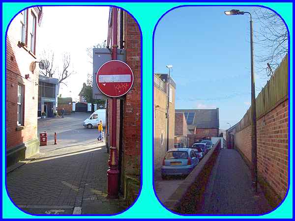
And at the far end the route continues straight across the Lower
Market Place to Anchor Row, the footpath by the side of The Observatory
(Wetherspoons) to High Street, the Erewash Museum and the underpass
under Chalons Way.
|
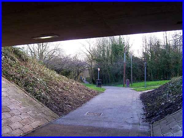
Just beyond the underpass the route is crossed at the intersection
of the paths by another WFH route followed by the Strollers,
the Ilkeston Circular.
|
The whole open area here is Chaucer Old Park and the path between
the underpass and the part of the park known locally as 'Illy
'Oleys (after the hills and holes created long ago by mineral
mining) has become a mini nature reserve. All sorts of birds,
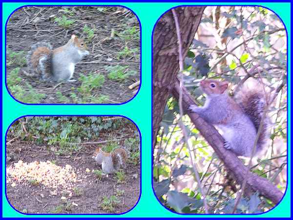
most notably blackbirds and robins are common sights as are squirrels
and as someone has left a pile of scraps for the animals, I wouldn't
be at all surprised to see rats as well.
|
After a brief pause to watch the squirrels scampering about I
continued across 'Illy 'Oleys towards Cantelupe Road and Park
Cemetery.
|
Many people probably don't realise that although the road to
the left where the path across 'Illey 'Oleys meets the road is
Cantelupe Road, the continuation of road to the right and past
the cemetery entrance as far as Millfield Road is called Park
Crescent. Park Avenue joins Park Crescent at the houses seen
here on the right. Cantelupe Road was an extension to Park Crescent
in the early 1900s.
|
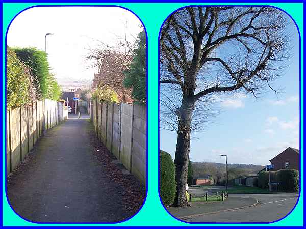
From Millfield Road the route now continues through footpaths
between the houses built on the former Park Farm to reach Heathfield
Avenue where a left turn into Monks Close leads to a lane and
then directly to Potter's Lock on the Erewash Canal. From there
this route diverges from the Gallows Inn Linear to go in the
opposite direction back to the Victoria Park Leisure Centre.
Forward to Part 02
To see a map/aerial view of the whole route in a new window follow
this link.
|
