Ilkeston Circular - Part 02
w/e 24 February 2013
All this week's pictures were taken
with a Kodak DX6490
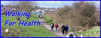
Continuing the Walking For Health route I devised,
in this part we pick up the walk again at the other end of Darwin
Avenue to follow the middle mile of the three mile route.
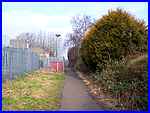
Diagonally across Moss Road (and currently easily spotted by
the temporary barriers across the end whilst excavations are
in progress) is a jitty that runs through to Albert Street. "Jitty"
is a term commonly in use in this part of the East Midlands but
in other parts of the country you may hear the terms "snicket",
"ginnel", "jennel", "twichell"
or "alley" but they all mean the same thing.
|
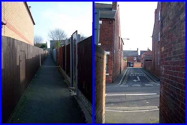
The route of the walk was devised to make use of footpaths, jittys,
open spaces, short cuts and back streets and as far as possible
to keep "off the beaten track". This jitty is just
one example. It leads across Albert Street into West Street (above
right).
|
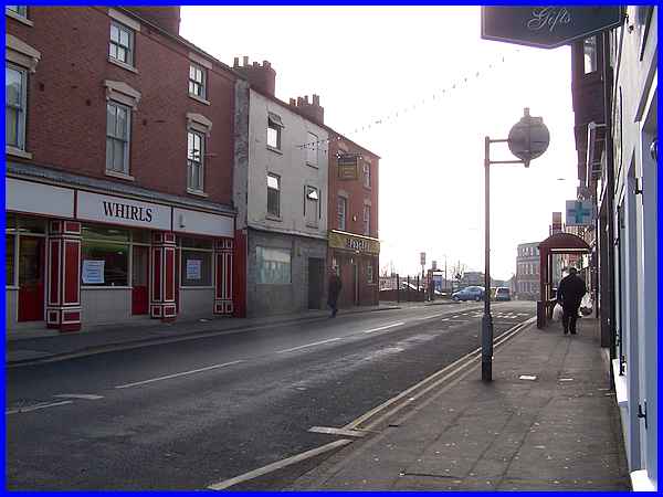
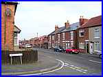
West Street is a short interconnecting street between Albert
Street and South Street and always conjures up images of "olde
Ilkestone" to me. The building on the right is now occupied
by a company involved in the sale of windows, conservatories,
doors and porches but within living memory, it was not unusual
to see horses being shod here by the local blacksmith.
|
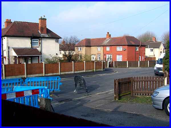
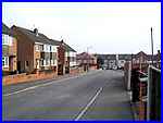
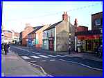  On
reaching South Street, the route is to turn right and cross at
the pedestrian crossing (right) near its junction with Derby
Road. Since devising the route in 2006 another pedestrian crossing
has been created to the left of West Street (left) which may
have been an alternative but vehicles are apt to illegally park
on the zig-zag lines so the safer option, especially for a walking
group, is still to use the other one. On
reaching South Street, the route is to turn right and cross at
the pedestrian crossing (right) near its junction with Derby
Road. Since devising the route in 2006 another pedestrian crossing
has been created to the left of West Street (left) which may
have been an alternative but vehicles are apt to illegally park
on the zig-zag lines so the safer option, especially for a walking
group, is still to use the other one.
|
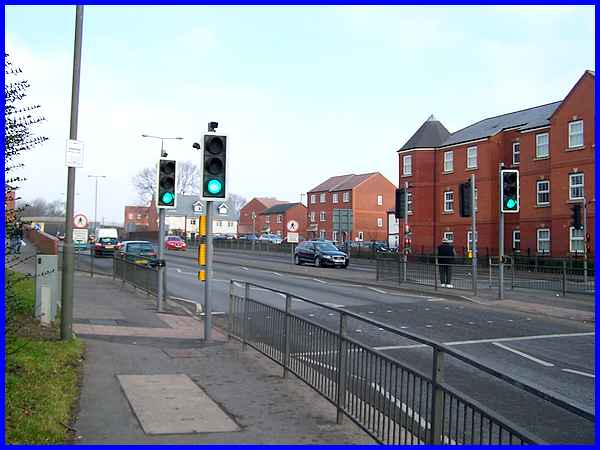
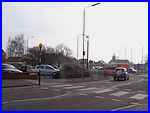
Following the pavement round leads to Chalons Way where two more
crossings facilitate the way to the opposite side of the dual
carriageway. When we walked with the Walking For Health group,
there was usually a pause on the other side in the shadow of
the three storey building. This was to enable to group to reform
and back markers to catch up as the two sides of the crossing
here were not synchronised. Since then the crossings have been
upgraded and do not cause too much of a hold up for pedestrians.
The next stage of the walk is alongside Chalons Way as far as
the footbridge just in view here on the left of the image. Unfortunately
the traffic on the road makes this the noisiest part of the walk
but peace is soon restored after the bridge.
|
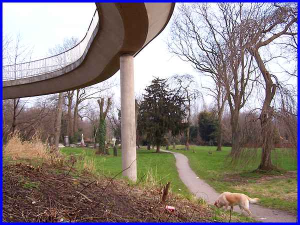
When Chalons Way cut through the town it separated part of St
Mary's churchyard from the church in the Market Place and now
a footpath runs through it from the side of the footbridge between
the headstones.
|
The path is crossed by another which leads under Chalons Way
and up to the Erewash Museum and the town centre to the left
and down to 'Illy 'Oleys to the right but our route is straight
on and down towards the Chaucer Schools.
|
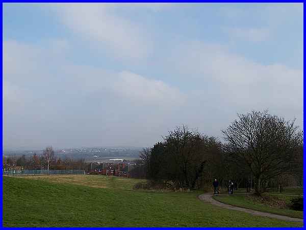
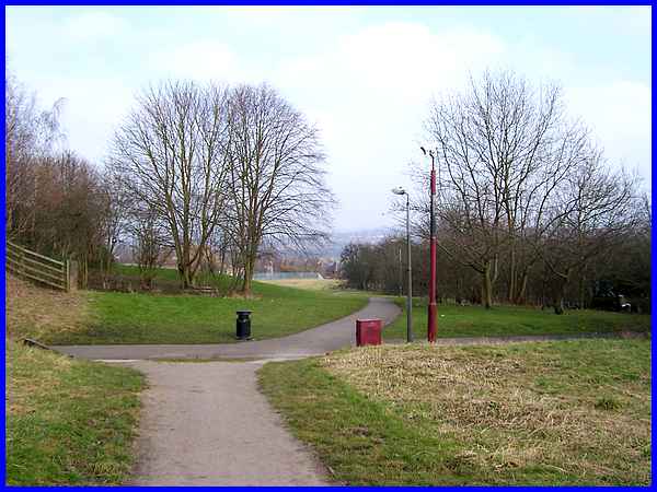
  As
the path winds its way downhill the Infants School is on the
right and the Junior School to the left. On a clear day there
is a pleasant view from this part of the walk over the rooftops
towards Eastwood. The path soon drops down (left) between the
railings of the Junior School and the rear of the properties
on Gresley Road. About halfway along the school's perimeter (right)
is another jitty to the right. As
the path winds its way downhill the Infants School is on the
right and the Junior School to the left. On a clear day there
is a pleasant view from this part of the walk over the rooftops
towards Eastwood. The path soon drops down (left) between the
railings of the Junior School and the rear of the properties
on Gresley Road. About halfway along the school's perimeter (right)
is another jitty to the right.
|

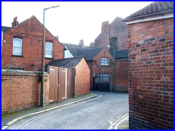
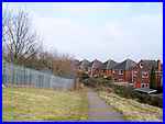
  This
jitty leads to Gresley Road (left) and onwards to Flamstead Road
(right) where the original plan was to cross and use another
jitty between the older and newer houses onto the Gordon Street
Playing Fields (aka The Ashes). Health and Safety considerations
though resulted in an alternative route which avoided a grassy
bank on The Ashes so a right turn is necessary at Flamstead Road. This
jitty leads to Gresley Road (left) and onwards to Flamstead Road
(right) where the original plan was to cross and use another
jitty between the older and newer houses onto the Gordon Street
Playing Fields (aka The Ashes). Health and Safety considerations
though resulted in an alternative route which avoided a grassy
bank on The Ashes so a right turn is necessary at Flamstead Road.
|
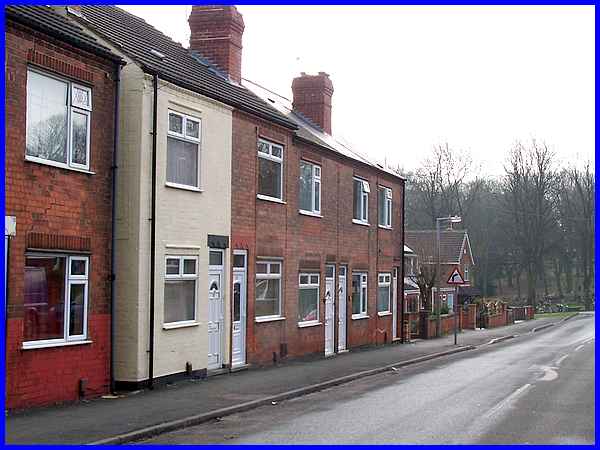
These properties back onto The Ashes which we will reach by following
Flamstead Road towards Park Cemetery and turning left into Cantelupe
Road and then left again along a short street called Farfield
Road.
As this is a circular walk it can be joined at any point and
it is never very far from the town centre but if you would like
to see a map/aerial view of the whole route, then follow this
link.
|
