Ilkeston Circular - Part 03
w/e 24 February 2013
All this week's pictures were taken
with a Kodak DX6490
To complete the three mile circuit we pick up the
route again on Cantelupe Road.
  The original
planned route was revised in order to avoid a grassy bank from
Flamstead Road onto The Ashes which involved a small detour along
Cantelupe Road (left) and Farfield Road (right) but following
a mishap when a lady slipped on wet grass on The Ashes, it was
later revised again to continue down Cantelupe Road to the corner
and then take the jitty between the houses and onto the canal
tow path. The original
planned route was revised in order to avoid a grassy bank from
Flamstead Road onto The Ashes which involved a small detour along
Cantelupe Road (left) and Farfield Road (right) but following
a mishap when a lady slipped on wet grass on The Ashes, it was
later revised again to continue down Cantelupe Road to the corner
and then take the jitty between the houses and onto the canal
tow path.
|
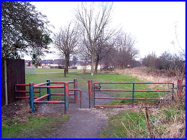
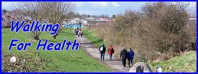
A very short walk along the tow path leads along the canal bank
to access The Ashes where a tarmac path runs parallel to the
canal bank.
|
From the path the grassy bank between the two football pitches
is obvious and although not a problem for the able bodied, it
could prove problematic for people with health or walking problems.
A second bank in the distance leads up to the jitty onto Flamstead
Road and can be seen just to the left of the paint-daubed green
kiosk.
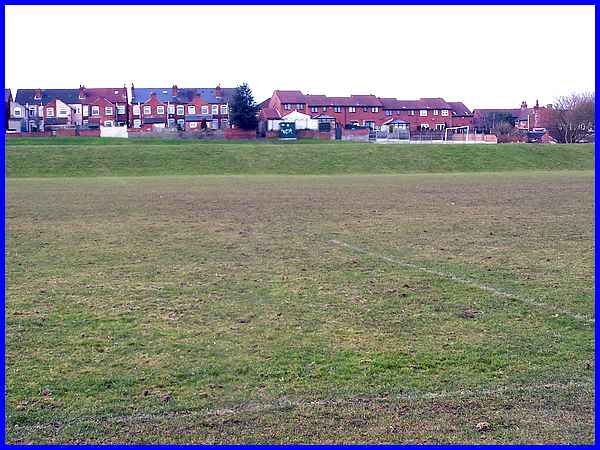
On a personal note I can never walk across The Ashes without
thinking back to my school days. As Hallcroft did not have its
own sports field, these pitches were often used during games
lessons. I suspect the drainage may have been improved since
those days but back then, this lower pitch always seemed to be
waterlogged. Remember too that footballs then were usually made
of leather and tended to soak up the water and become heavy when
sodden. On one such occasion I had to take a corner kick and
despite using all my strength, the ball only reached about knee
height and barely reached the goal mouth but when it did, it
skidded on the mud and went straight between the goal posts without
anyone else touching it! It was only a friendly game between
schoolmates but the memory of that goal has always remained with
me.
|
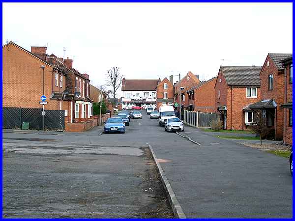
Crossing the car park for The Ashes or Gordon Street Playing
Fields as the Council now like to call it (Gordon Street is to
the left) the Walking For Health route continues straight on
along Rupert Street to Station Road opposite the Good Old Days
pub. And in the good old days the site on the right where the
new houses now stand was once occupied by a builder's merchant.
|
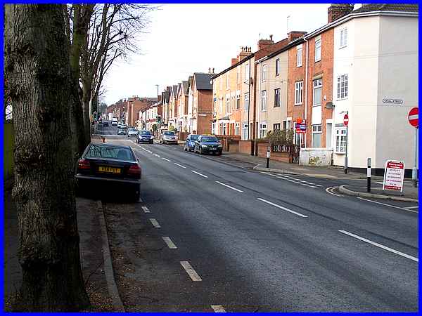
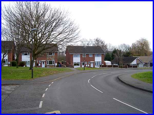
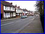
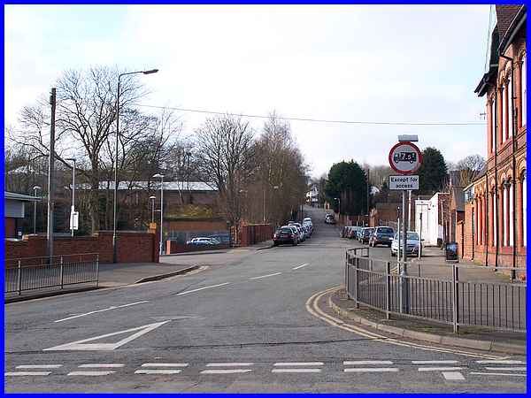
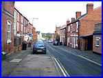  Turning left
into Station Road which we covered in much greater detail in
the First Impressions
series, the route continues as far as the pedestrian crossing
near the top of Blake Street (left). Walking down Blake Street
leads to another green open space known locally as Johnny's.
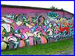
The walls surround Johnny's have become a favourite spot for
street artists (right). Turning left
into Station Road which we covered in much greater detail in
the First Impressions
series, the route continues as far as the pedestrian crossing
near the top of Blake Street (left). Walking down Blake Street
leads to another green open space known locally as Johnny's.
The walls surround Johnny's have become a favourite spot for
street artists (right).
|
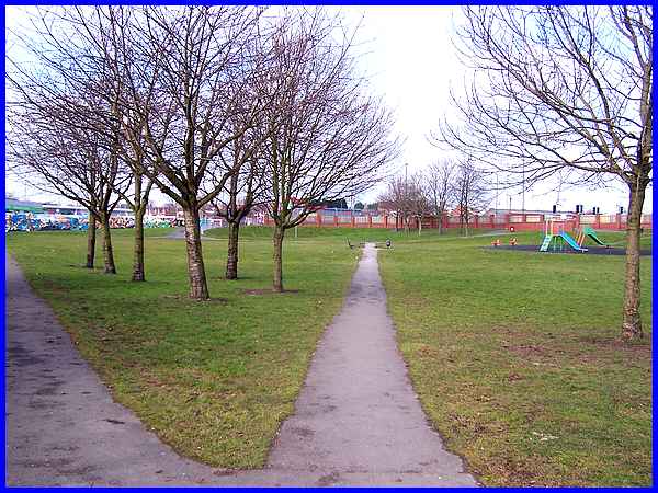
More street art can be seen on the far wall on the left of this
image but the diagonal path across Wash Meadow (another name
preferred by the Council) passes between a play area and a basketball
practice area.
|
The exit from Johnny's is adjacent to a pedestrian crossing at
the end of Millership Way, another route we followed in the First
Impressions series. From here we again follow the same route
along Rutland Street but since then a new KFC has been built
and opened on the former Gas Works site.
|
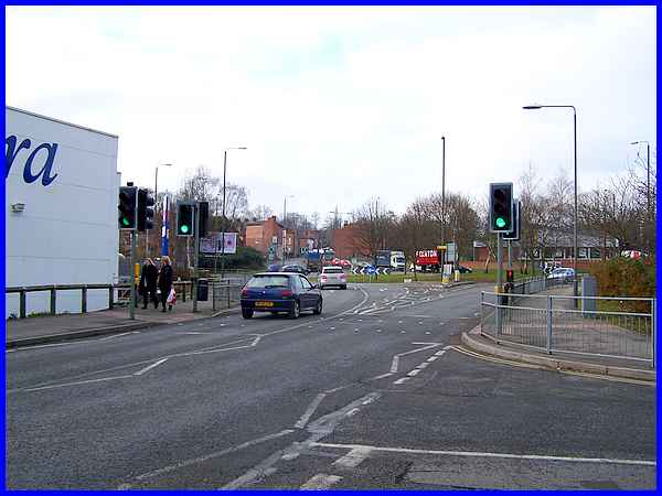
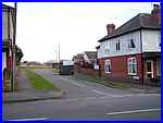
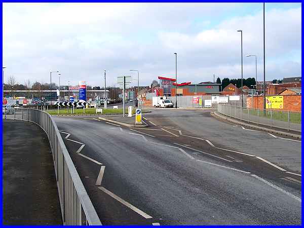
At the pedestrian crossing at the end of Rutland Street the walking
group leaders usually checked to make sure the same number had
returned as had started out from the Leisure Centre for it was
here that several of the walkers would peel off to the left to
enjoy a welcome drink at an establishment on Bath Street. They
would then return to the Leisure Centre via Manners Road which
can be seen directly ahead above the grey car. The restored Stanton
wagon can also be seen on the island at the end of Chalons Way.
|
To complete the three miles though without the drinks diversion,
the route continues to Heanor Road, crossing to climb the hill
up Manor Road and back to the car park at the rear of the Leisure
Centre.
|
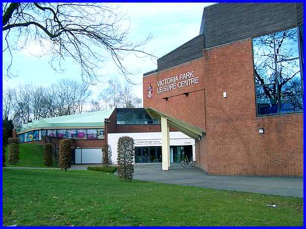
We saw a picture of the car park at the start of the walk so
here to finish it is a view of the front of the Centre which
is the usual meeting place for the walking group.
Back to Part 2
As this is a circular walk it can be joined at any point and
it is never very far from the town centre but if you would like
to see a map/aerial view of the whole route, then follow this
link.
|
