Ilkeston & West Hallam
- Three Nature Reserves
w/e 27 February 2022
All of this week's pictures were taken with a Kodak DX6490
There are three Nature Reserves
in close proximity on the boundary of Ilkeston and West Hallam.
Following the recent storms we knew that access to one of them
would not be possible but we went for a look anyway.
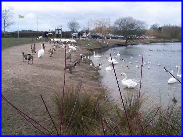
We started on the West Hallam side of the boundary at Straw's
Bridge or Swan Lake as it is more commonly known where the birds
appeared to be especially hungry and were swarming around anyone
nearby who looked as though they had food.
|
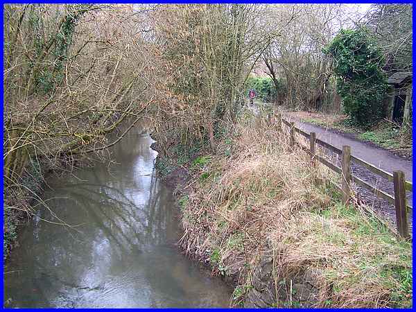
Leaving Swan Lake we picked up the Nutbrook Trail which at this
point runs alongside the disused Nutbrook Canal. The canal and
the Nut Brook follow adjacent and similar routes and are interchangeable
at many places but here the brook is to the left of the canal
and closer to Swan Lake.
|
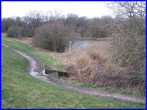
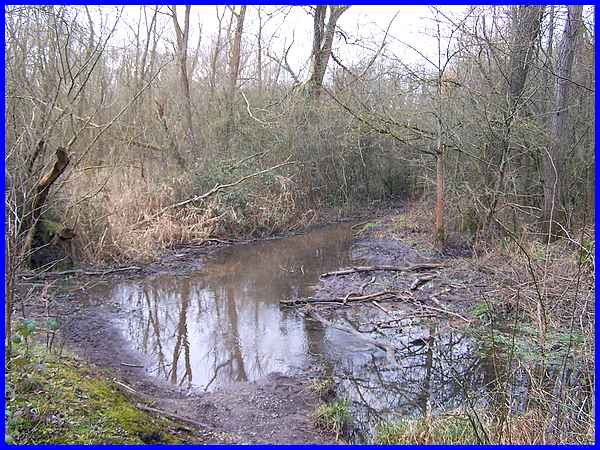
By the time we had crossed the embankment on the Nutbrook Trail,
the waters of the canal and the brook had merged and were also
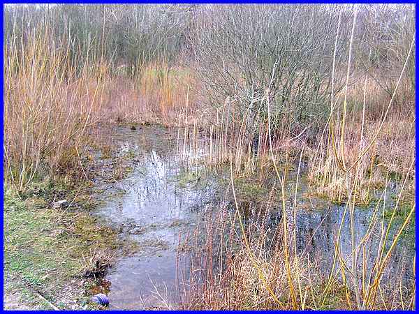
swelled by the overflow from the pond in Pewit Carr, the second
of the three Nature Reserves. The water is carried under the
embankment in a culvert.
|
We continued along the Nutbrook Trail to the aptly name Manor
Floods, the third Nature Reserve which is actually on the Ilkeston
side of the boundary.
|
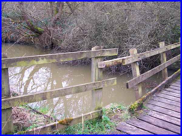
Access to Pewit Carr from the Trail is via a footbridge and here
it was easy to see the effect of the recent storms on the water
level.
|
Debris in the disused canal was holding back some of the water
but it was still flowing quite swiftly under the footbridge.
|
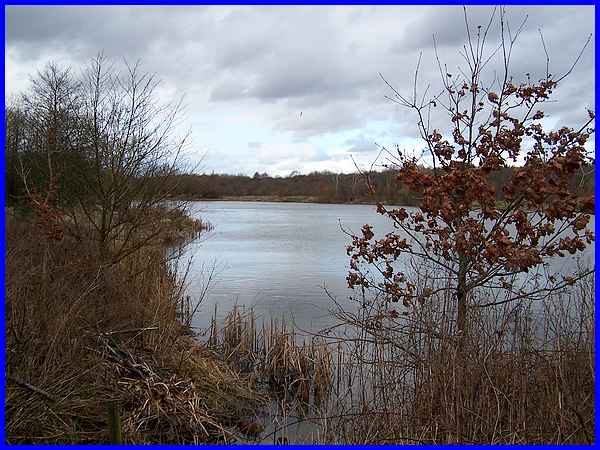
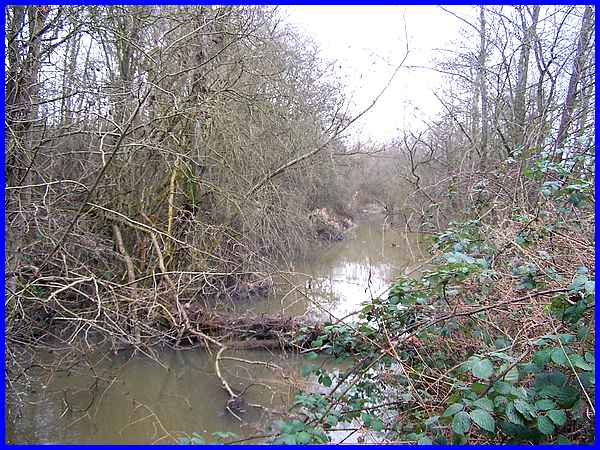
This was as far as we walked along the Nutbrook Trail as we knew
before starting out that the path through Pewit Carr would be
impassable. Pewit Carr was created as a result of mining subsidence
and is now said to contain "a mosaic of wetland habitats"
which are only too evident especially after heavy rainfall.
|
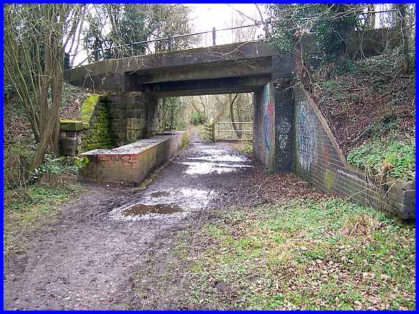
We retraced our steps back to Swan Lake along the Nutbrook Trail.
The Trail zig-zags up a former railway embankment and access
to Swan Lake is down the other side. The trail however continues
southwards over this bridge with the path under it continuing
straight on to Derby Road.
|
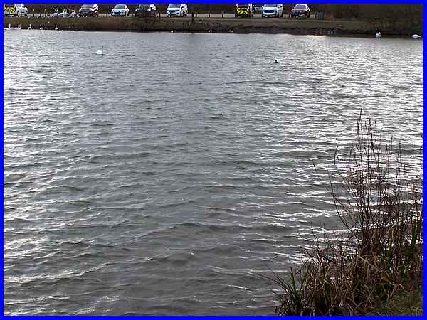
Back at Swan Lake a stiff breeze was still blowing and creating
multiple ripples on the water.
|
We completed the circuit around the lake in an anti-clockwise
direction passing the bridge under the embankment that leads
to two smaller ponds. We were surprised to find the path under
the bridge dry as it has been known in the past to often be under
water. We also passed another area in the Reserve which is a
designated wet grassland habitat but we managed to complete this
short walk and return home with dry feet.
|
