The River Erewash - Flood Plain
w/e 01 March 2020
All of this week's pictures were
taken with a Kodak DX6490
Apparently it's been the wettest February on record
and floods have devastated communities up and down the country.
There have also been many windy days that have swept storms across
many areas but as in the past, Ilkeston has escaped the worst
of the flooding. In a lull between the storms I took a look at
the flood plain north and south of the town.
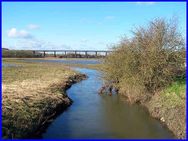
The River Erewash water level between the storms as seen from
Awworth Lane on the Derbyshire/Nottinghamshire border was still
high, but it had dropped from earlier in the week.
|
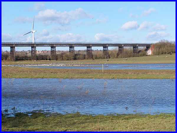
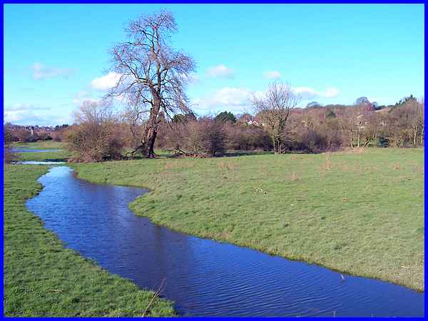
From a slightly different angle the flood plain, with its backdrop
of the much photographed Bennerley Viaduct and the wind turbine
at Newthorpe, can be seen to be doing its job with large expanses
of water each side of the river. With the wind rippling the surface,
the white line in the distance is not waves breaking on the bank
but a flock of birds!
|
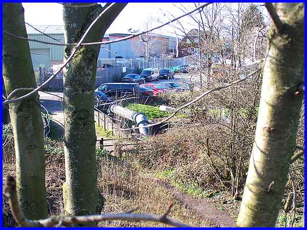
Moving to the other side of town, there's a footpath leading
from Hallam Fields to Trowell known as The Boards. From the railway
bridge and looking back towards Hallam Fields the metal pipe
in the centre of the picture is crossing the Erewash Canal at
Hallam Fields Lock.
|
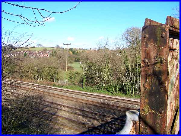
Looking the opposite way over the railway lines towards Trowell
from the bridge, a similar structure to the right of the electricity
pole is another pipe crossing the River Erewash.
|
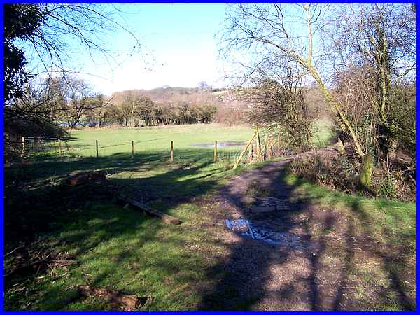
From the railway bridge the footpath across the flood plain leads
to the river near to that same metal pipe.
|
This is not the river but standing water by the side of the path
in the undulating flood plain.
|
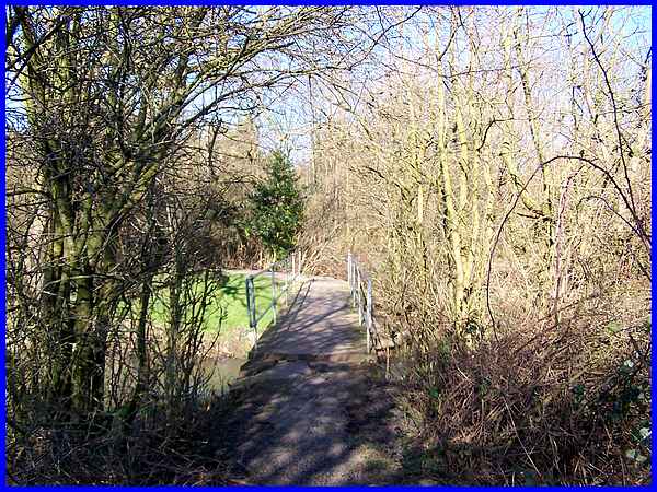
The path continues to the river which is crossed by a footbridge.
|
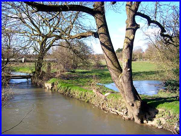
To the left with more standing water nearby the river flows under
the aforementioned metal pipe. The water looks quite calm here
but was flowing quite quickly.
|
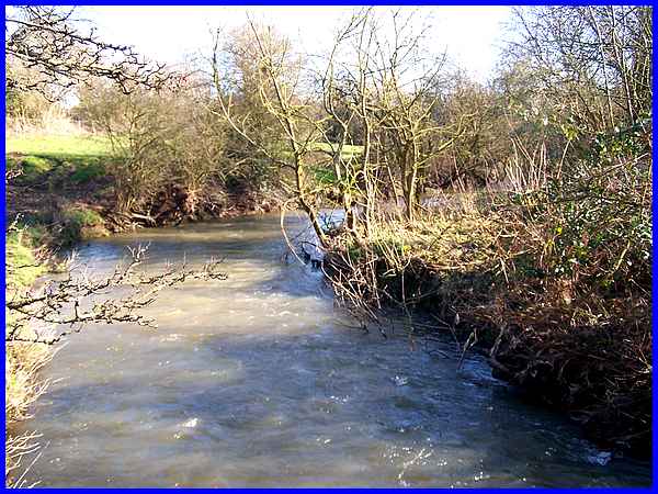
To the right of the bridge the water was more turbulent and the
rate of flow more apparent.
|
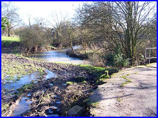
The path now starts to rise up to Nottingham Road at Trowell
but with one last look back at the river the muddy ground shows
that it won't take much more rain (which is in the forecast)
for the flood plain to be covered again.
|
