Heanor - Formerly
w/e 04 August 2019
All of this week's pictures were
taken with a Kodak DX6490
I've been looking at some old maps for Heanor, Ilkeston's
northern neighbour about four miles away. Like Ilkeston, the
town centre in Heanor has a number of architecturally interesting
buildings clustered around a Market Place, many of which were
formerly used for other purposes or at least were known by different
names.
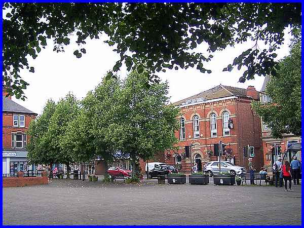
The Town Hall (c.1867) for example that overlooks the Market
Place probably served a similar purpose in 1881 but was labelled
on a map of that year as "Public Offices". It is now
Grade II listed.
|
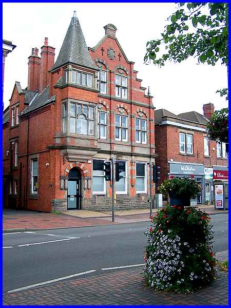
Next to the Town Hall is another Grade II listed building which
appears to be empty at the moment but was not only the former
Midland Bank but later became a branch of HSBC. Lettering on
the stonework at the top of the building reads "NJSB 1895".
|
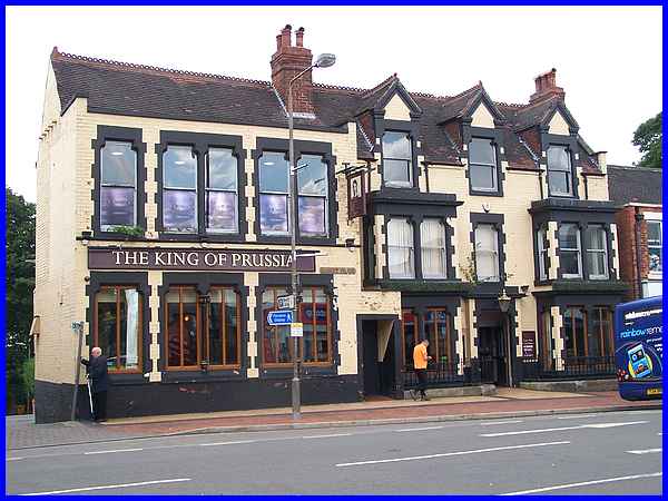
It is not uncommon for pubs to change their names and The King
of Prussia a little further along the road was formerly (there's
that word again) the Midland Hotel. And if you are wondering
what the King of Prussia was, it was the title Frederick the
Great started using in 1772 after he took over a lot of the Kingdom
of Poland. I'm not sure there is any significant connection with
Heanor.
|
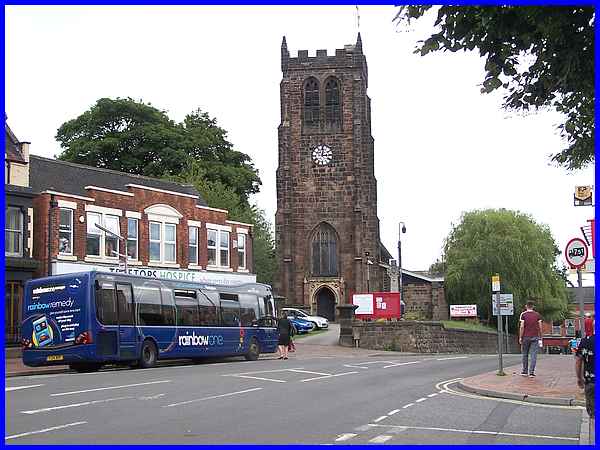
It's not just pubs that change their names - referring to that
1881 map again, St Lawrence's Church is shown as St Michael's
Church. The town's War Memorial can just be seen behind the notice
board at the entrance to the church.
|
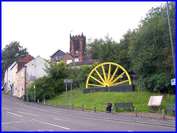
Church Street continues past the church to become Mansfield Road
which goes down the hill to Langley Mill. Near the top of the
hill however is a memorial headstock remembering the former coal
mining industry. The board in front of the memorial includes
a map showing all the local collieries with photos of many of
them and also an interesting screed about the industry and its
demise.
|
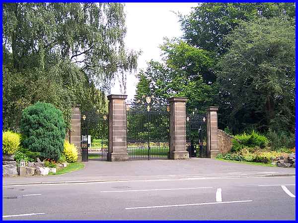
At a road junction between the memorial and the church Ilkeston
Road leads off towards Marlpool and on to Ilkeston and a little
way along it is the Heanor Memorial Park. The park was created
after the Second World War, the main entrance gates formerly
being at Derby Lodge in the Shipley Hall Estate.
|
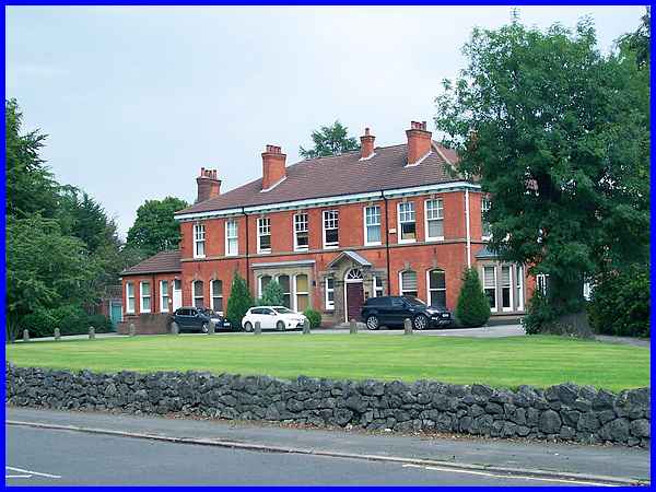
Next to the park is a large building called Shanakiel which formerly
contained the Council offices.
|
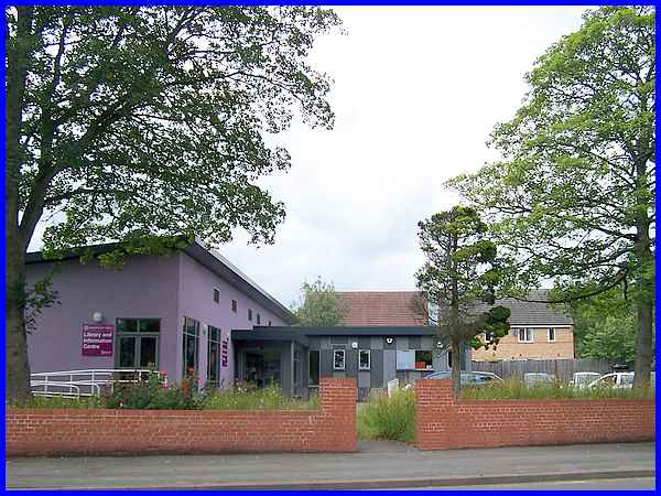
Opposite Shanakiel is Heanor Library but this building has not
had any former use. In fact it is a new build following a structural
report in 2014 that recommended the original library should close
unless it was immediately renovated. This new building was the
result on the same site.
|
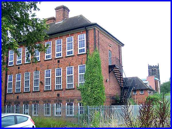
Turning back towards the town centre and a left turn into Mundy
Street leads past a large building that has obviously seen better
times. Currently standing empty it was formerly Heanor Grammar
School and after that part of the South East Derbyshire College.
Even further back that 1881 map shows the site occupied by The
Hall.
|
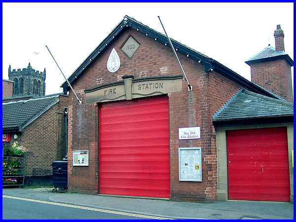
A right turn leads back to the Market Place along Wilmot Street
and a small red brick building that was formerly the town's Fire
Station. The current Fire Station stands on Ilkeston Road.
Oh and in case you were wondering Heanor was formerly called
Hainoure from the Old English "heah" meaning "high"
and "ofer" meaning "ridge, river bank".
|

