Ilkeston - Manor Floods LNR
w/e 31 May 2015
All of this week's pictures were
taken with a Kodak DX6490
At the same time as West Hallam's Straw's Bridge
site was officially declared a Local Nature Reserve (LNR) on
March 19th 2015 the adjacent site in Ilkeston known as Manor
Floods also received the same accreditation. It would be remiss
of me therefore having already looked at the former not to afford
the same courtesy to the latter.
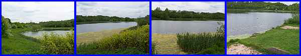
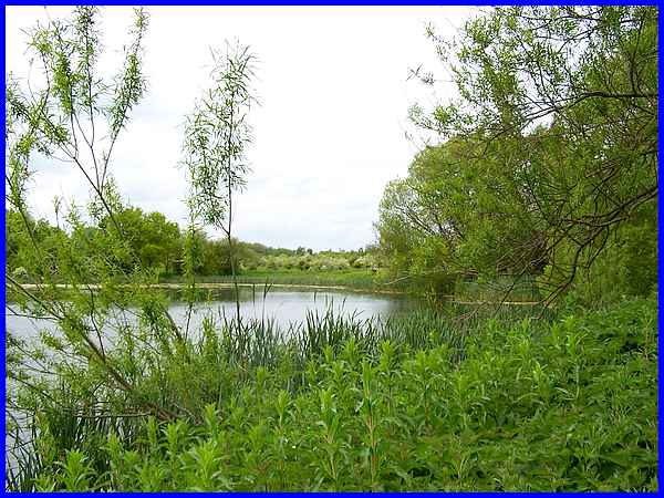
  Despite the stretch of water that gives it
name to Manor Floods the water covers a relatively small proportion
of the site. I could have entered the site from various points
including the Straw's Bridge site but chose on this occasion
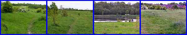
to access it near the end of the golf course (left) via the housing
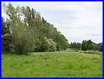
development off Drummond Road. This leads to a mainly grassy
area (right) crossed by several paths. Despite the stretch of water that gives it
name to Manor Floods the water covers a relatively small proportion
of the site. I could have entered the site from various points
including the Straw's Bridge site but chose on this occasion
to access it near the end of the golf course (left) via the housing
development off Drummond Road. This leads to a mainly grassy
area (right) crossed by several paths.
|
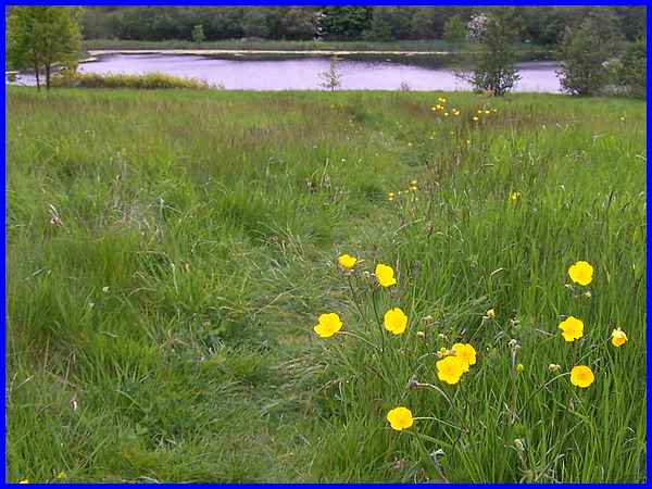
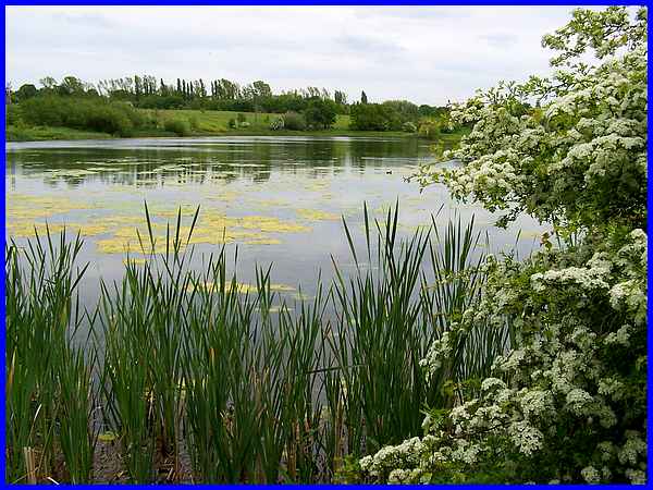
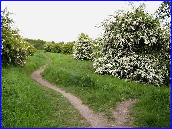
I followed the paths zig-zagging down the slope to the edge of
the water where I could have turned left to follow another path
to reach the Nutbrook Trail which runs as a tarmac path along
the western side of the water. Instead I turned right past the
angling platforms and enjoyed the views across the water to Pewit
Carr, another LNR on the other side.
The route around the eastern side of the pond is much less well
defined than the Nutbrook Trail but there is a well trodden path
that I followed although some of it was lined with nettles.
|
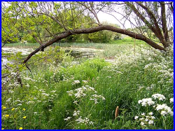
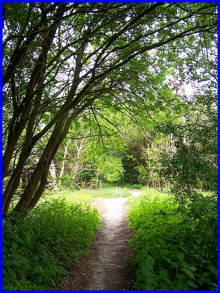
I veered off the path and walked down to a couple of angling
platforms and then continued along the edge of the water through
the undergrowth and under this arched tree branch.
|
Regaining the well trodden path, I continued around the northern
side of the pond pausing only to watch a couple of coots and
look back to the slope where I had approached the water in the
first place.
|
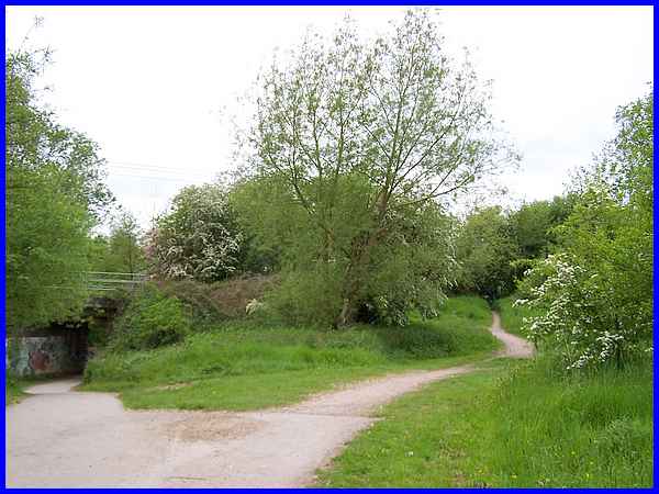
I then turned north to follow the Nutbrook Trail for a very short
way but instead of continuing under the former railway bridge,
a route I have followed many times before, I turned off to climb
up the embankment and remain within the Manor Floods LNR.
|
This is not a path I had walked previously but it continues along
the top of the embankment of the former railway line. Initially
it is now lined with trees but soon changes into a more open
landscape.
|
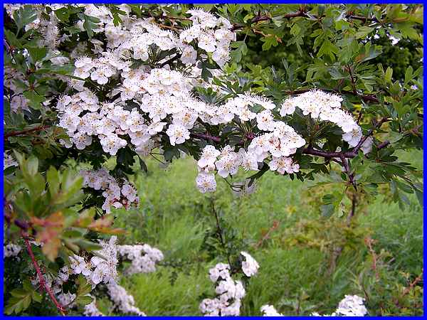
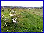
All along the path the trees and bushes at this time of year
are full of blossom.
|
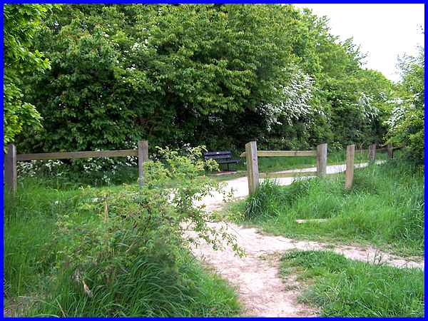
This embankment path is rather like the hypotenuse of a right
angled triangle and rejoins The Nutbrook Trail near the Shipley
View Estate. Although the seat on the Trail looked inviting I
resisted temptation and turned away to head back southwards along
yet another well trodden path through the reserve.
|
I used to walk this path between the Manners Industrial Estate
and the Nutbrook Trail a few years back with a walking group
but since I was last here it has certainly matured a lot and
with all the blossom currently on show, the former open landscape
will soon disappear altogether.
|
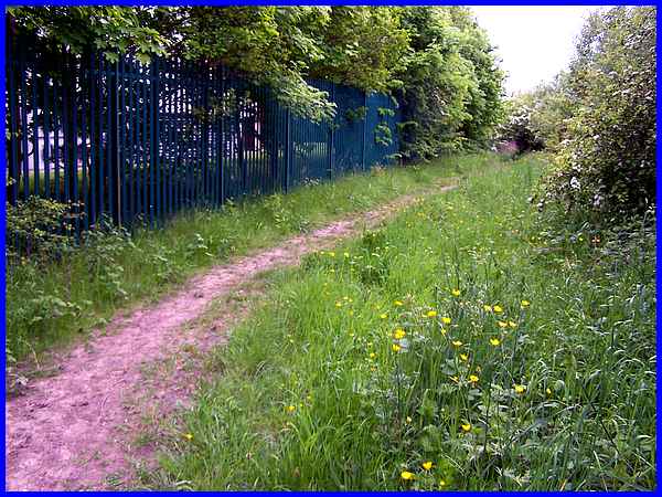
Instead of carrying on into the industrial estate I turned to
follow the boundary to head back towards the pond with the peace
only disturbed by the sound of machinery from the estate.
The path dropped down between the trees and the boundary fence
and the landscape gradually opened out into a mainly grassed
area again which is popular with dog walkers. With one last look
at the "floods" now on my right I climbed back up the
slope to return to the housing estate where I had first entered
the reserve to complete the circuit. Many people think that Manor
Floods is just the pond but as this short walk shows there is
much more to the Nature Reserve bearing that name than that and
in the rest of the site there must be a huge variety of flora
and fauna to be studied and enjoyed.
|
