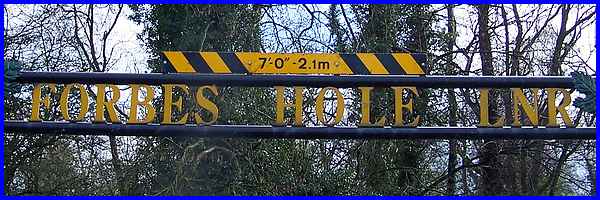
Long Eaton - Forbes Hole LNR
w/e 06 April 2014
All of this week's pictures were
taken with a Kodak DX6490
There are several Local Nature Reserves within Erewash
Borough and Forbes Hole is situated in the midst of an industrial
area off Field Farm Road in Long Eaton.
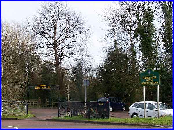
As we pulled onto the car park at Forbes Hole Local Nature Reserve
it was in the middle of a hail storm which meant that we sat
in the car for about 20 minutes until the storm had passed.
|
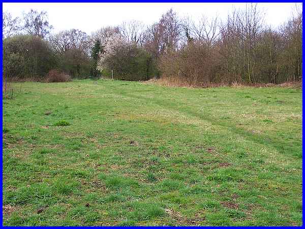
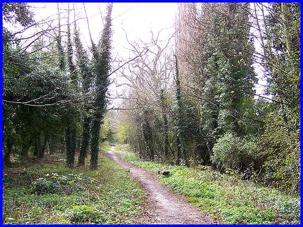
When the worst of the storm was over we hurried through the trees
with water still dripping from the branches above and crossed
a path through an area of grassland which is seen here looking
back from the far end. The reserve contains a number of different
wildlife habitats as well as grassland and includes open water,
scrubland and woodland.
|
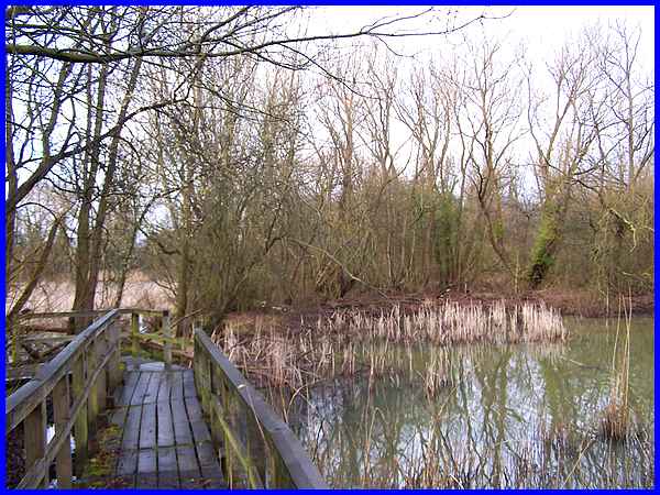
The open water is in a series of linked ponds and I carefully
descended the bank to a boardwalk at the far end of the grassland
to reach the water's edge. Steps had previously been cut in the
bank but the mild wet winter appears to have eroded the steps
and left a bumpy, slippery slope instead. The boardwalk too has
suffered and a number of the protective wooden slats were missing.
No doubt the Friends of Forbes Hole Volunteer Group who care
for and help maintain the site have repairs high on their list
of priorities.
|
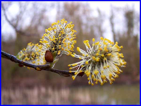
Carefully negotiating the boardwalk I spotted a couple of dark
coloured birds that could have been coots or moorhens but they
disappeared at my approach into the reeds before I could positively
identify them. The pussy willow overhanging the pond was more
amenable to having a photo taken.
|
Rejoining my wife on the grassland we made our way to the eastern
edge of the site which is bounded by a high fence beyond which
is a railway line. The ponds in the Forbes Hole site were created
by the construction of the line in 1839 when gravel was extracted
from a series of borrow pits for use as ballast and the building
of railway embankments. The resulting holes subsequently filled
with flood water.
|
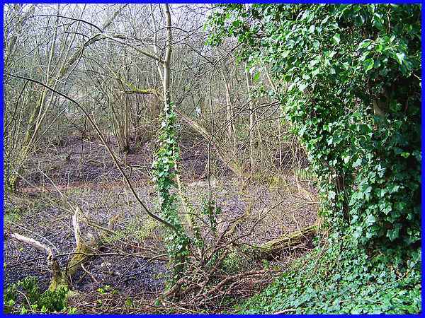
The path along the eastern edge overlooks another of the reserves'
habitats, that of a Willow Carr, "Carr" being the name
for a wet marshy woodland. According to information on a board
at the side of the path, this part of the reserve used to be
covered in shallow water but recent dry summers and domestic
and commercial demand for water has resulted in the area being
much drier. At the moment however, the ground looks particularly
muddy.
|
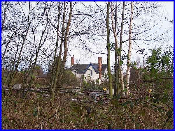
The site is roughly triangular in shape and was once surrounded
on all sides by railway lines. Now only the eastern side is adjacent
to the railway and the other two sides are bounded by industrial
developments. We turned at the northernmost point of the Reserve
to walk between a narrow area designated as scrub on the right
which separates the path from the industry, and dry woodland
to the left separating the path from the pond.
|
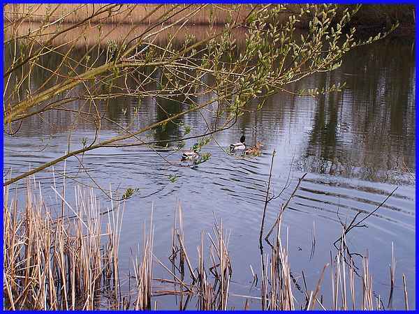
There are various points along the path where it is possible
to pass through the woodland to reach the edge of the water but
like the black birds seen earlier, this trio of ducks preferred
to swim away rather than towards me.
|
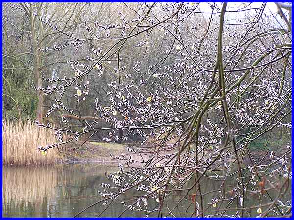
I thought that I would have to resort to the pussy willow again
which was hanging in profusion over the water.
|
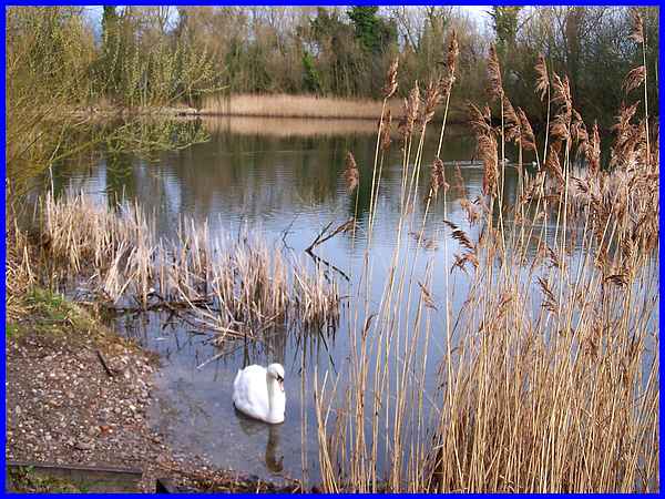
But then I was rewarded for my patience when a solitary swan
decided I was no threat and swam towards me to investigate. The
site although created by man's activity has been taken over by
nature and in 1982/83 it was classified as a Grade 1 site on
the County Biological Sites Register and in 1991 it was adopted
as Erewash Borough Council's first Local Nature Reserve. It is
also one of only four locations in the country to contain Water
Violet and while this may not have been the best time of the
year to visit the site especially so soon after the hail storm,
it is an important natural haven in the midst of an industrial
landscape.
|
