Moorgreen - Colliers Wood
w/e 10 November 2013
All this week's pictures were taken
with a Kodak DX6490
At one time of day the East Midlands landscape of
the Nottinghamshire and Derbyshire coalfield was dotted with
with numerous mines but following the acrimonious conflict between
the mining Unions and the Thatcher government the industry was
decimated with the loss of thousands of jobs and the landscape
changed forever.
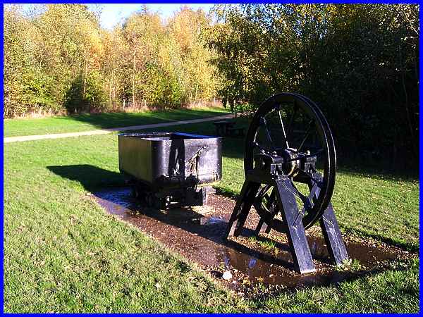
One such colliery among many others to disappear locally, although
it did not close until 1985 when supplies were exhausted, was
on the edge of Eastwood at Moorgreen. Since then, the site has
undergone an amazing transformation to become the Colliers Wood
Nature Reserve and Industrial Site. We entered the site at the
north-eastern corner where there is a small car park and one
of the first things we encountered was this memorial to the coal
mining industry of the past.
|
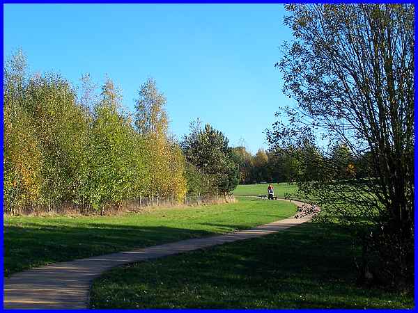
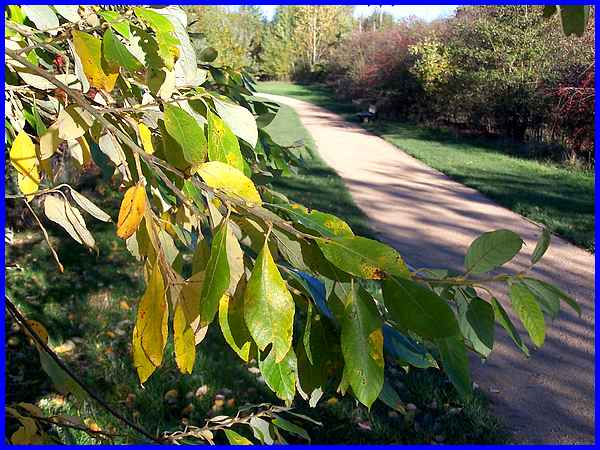
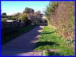
  The roughly rectangular
site is on a gentle generally north-west facing slope and we
followed the winding path along the eastern perimeter which led
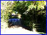
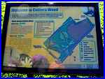
to a pedestrian entrance (left) to the site. There is also an
information board (right) near this entrance which includes a
map showing the main features of the nature reserve and details
of two waymarked trails around the site. The roughly rectangular
site is on a gentle generally north-west facing slope and we
followed the winding path along the eastern perimeter which led
to a pedestrian entrance (left) to the site. There is also an
information board (right) near this entrance which includes a
map showing the main features of the nature reserve and details
of two waymarked trails around the site.
|
Both trails initially follow the same route from the car park
and continue along the southern perimeter between the open fields
to the south and a copse of trees that have been planted following
the closure of the colliery to the north.
|
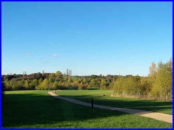
Approximately halfway along the southern boundary another surfaced
path cuts across the centre of the site and this is the route
of Walker Trail which is about 1km in length and takes only 20
to 30 minutes to walk at a leisurely pace.
|
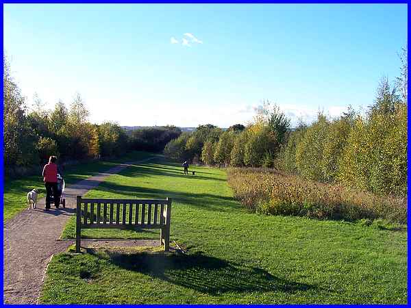
We opted to continue along the perimeter path which is the Barber
Trail. At 1.7km you are advised to allow between 35 and 50 minutes
to complete this circuit which here continues between the fields
to the left and the trees to the right. In between the copses
that have been created on the site there are spaces of open grass
and meadowland and at this particular location a bed of wild
flowers.
|
  The trails are named after Messrs. Barber and
Walker who opened Moorgreen Colliery in 1865 by sinking shafts
on the site with output starting in 1871. At its height the colliery
employed over 1300 men and reached its peak in 1963 when it produced
one million tonnes of coal. The Barber Trail passes behind the
industrial site towards Beauvale (left) and emerges onto Engine
Lane (right). The trails are named after Messrs. Barber and
Walker who opened Moorgreen Colliery in 1865 by sinking shafts
on the site with output starting in 1871. At its height the colliery
employed over 1300 men and reached its peak in 1963 when it produced
one million tonnes of coal. The Barber Trail passes behind the
industrial site towards Beauvale (left) and emerges onto Engine
Lane (right).
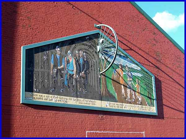
Homage is paid to the mining industry with a mural on one of
the buildings on Engine Lane showing the transformation of the
site from mining to nature. Two quotations below the pictures
are both by D H Lawrence. On the left it reads ".... there
was a sort of inner darkness like the gloss of coal in which
we moved and had our real being" and on the right "....
the east was tender with a magenta flush under which the land
lay still and rich". There used to be a plaque beneath the
mural which has now disappeared but from a previous visit I know
that it read as follows: "The mural artwork was produced
by students of the New College Nottingham Basford Hall in co-operation
with Maplebeck Holdings Limited, who have dedicated it to the
people of Eastwood. The ceremony was performed by Cllr. Jack
Wormall on the 24 September 1999".
|
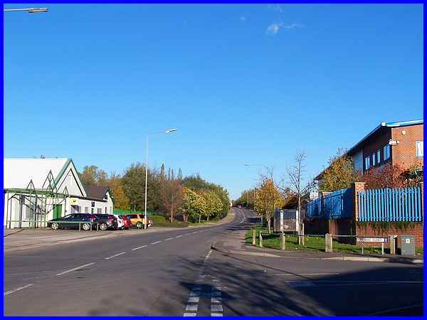
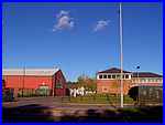
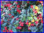  The Barber Trail continues along Engine Lane
through the industrial estate but nature is never very far away.
There are berries (left) on the shrubs, fallen leaves (right)
on the ground at this time of year and trees line both sides
of the road. New buildings have sprung up among old colliery
ones revamped to house individual businesses but the level crossing
and all the old railway lines have been removed. The Barber Trail continues along Engine Lane
through the industrial estate but nature is never very far away.
There are berries (left) on the shrubs, fallen leaves (right)
on the ground at this time of year and trees line both sides
of the road. New buildings have sprung up among old colliery
ones revamped to house individual businesses but the level crossing
and all the old railway lines have been removed.
|
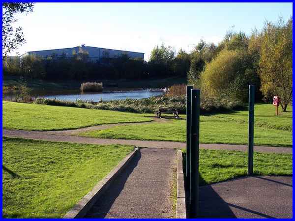
At the end of the industrial site, another pedestrian entrance
leads back into the nature reserve and directly to one of two
ponds. It is also at this point near the pond dipping platform
that the Barber Trail rejoins the path through the centre of
the site and the Walker Trail.
|
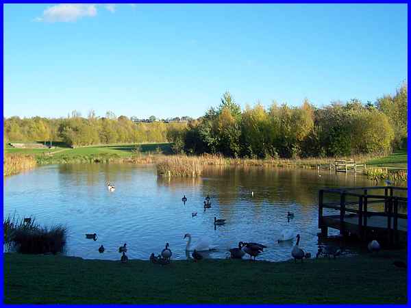
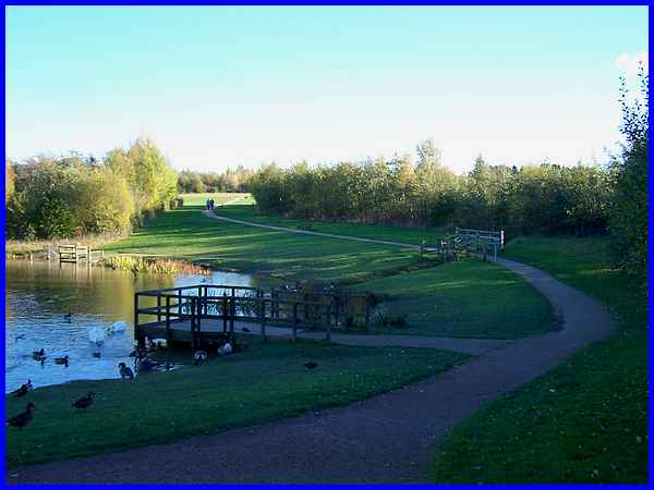
Together the Walker and Barber Trails pass the pond and head
back to the car park but there are several other paths, both
surfaced and mown through the meadows to be enjoyed. The pond
attracts a variety of wildlife and it is reported that moorhens,
mallards, mute swans, tufted ducks, grey herons have been seen
here as well as frogs, toads, damsel and dragonflies. The second
pond in the middle distance is more marshy and bog-like and,
like the main pond, has a drainage ditch leading to it where
water voles have also been spotted. On the far left of this image
the outdoor auditorium is visible.
|
A ramp allows disabled access to the auditorium at which vantage
point a good view of both facets of Colliers Wood, industrial
and natural, is available. An active community group, the Friends
of Colliers Wood, organises a selection of activities throughout
the year including live performances. dog shows and conservation
days. The Colliers Wood site is also used by schools and other
groups for educational and social activities not least among
them being dog walkers of whom we saw several during our walk
around the Barber Trail.
|
