Ilkeston - Merlin's Magic Snow
w/e 20 January 2013
All this week's pictures were taken
with a Kodak DX6490
At various times over the years we must have walked
most of the ten or eleven miles of the Nutbrook Trail but there
was at least one section of the route that we had not followed
before until this walk in the snow. We can now cross this section
between Quarry Hill Road in Ilkeston and Hallam Fields off the
list. From the north the Nutbrook Trail starts in Heanor at Shipley
Country Park and runs down the western edge of Ilkeston as far
as Kirk Hallam where it skirts Ilkeston's southern boundary before
turning southwards again towards Long Eaton. We started our walk
at Hallam Fields and followed the path to Quarry Hill Road where
we turned and retraced our steps back to Hallam Fields. All these
images come from the return walk.
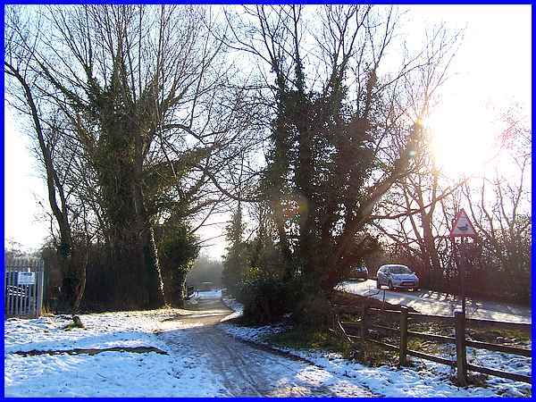
Access to the Nutbrook Trail can be gained from Quarry Hill Road
near its junction with Merlin Way and a footpath runs alongside
Quarry Hill Road as it rises to cross over the Nut Brook and
the old railway bridge where it changes to become Ilkeston Road.
|
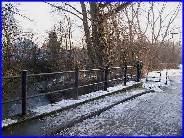
The footpath is also bridged over the Nut Brook shortly before
it reaches the Nutbrook Trail.
|
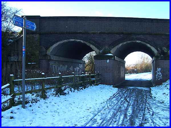
A signpost at the junction of the path with the Nutbrook Trail
points under the road bridge to Heanor and Shipley Park (3½
miles) and in the other direction to Sandiacre (4½ miles)
and Long Eaton. It also shows that the Trail is part of the National
Cycle Route No. 67.
|
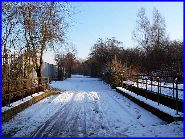
Although the Nutbrook Trail is a north/south route this section
is closer to an west/east direction and follows the line of a
former railway track. Turning towards the east then the Trail
immediately crosses the Nut Brook again.
|
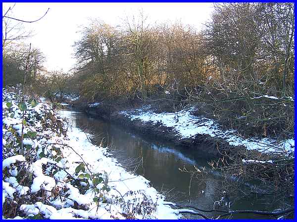
The section we are walking is something under a mile in length
and for about the first half of it, the Nut Brook is on the right
hand side.
|
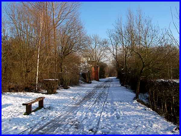
The sun came out during our walk and it was quite pleasant walking
along the Trail but not really warm enough to take advantage
of the seat which was also about half way along the section.
The brick buttresses either side of the Trail just after the
seat are the remains of a bridge that originally carried another
railway line from the former Stanton Ironworks to the right.
It is just beyond that point too that the Nut Brook once again
crosses the Trail to continue on the left hand side.
|
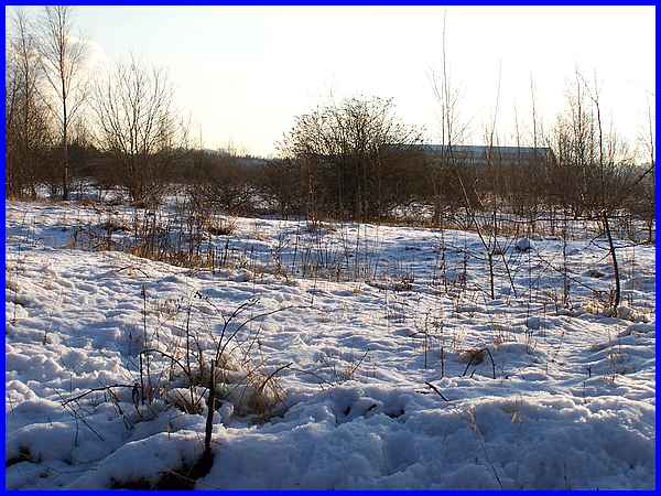
The Trail runs between the former Stanton site on one side and
an industrial estate along Merlin Way on the other. Only a few
buildings remain on the Stanton site compared to when it was
in its heyday and Merlin of course in Arthurian legend was a
sorcerer. Love it or loathe it, the covering of snow magically
transforms the derelict site into something that looks a lot
more pleasant. The site is ripe for redevelopment but the powers-that-be
and developers don't seem able to get their act together preferring
instead to proffer green field sites which would be less expensive
to develop.
|
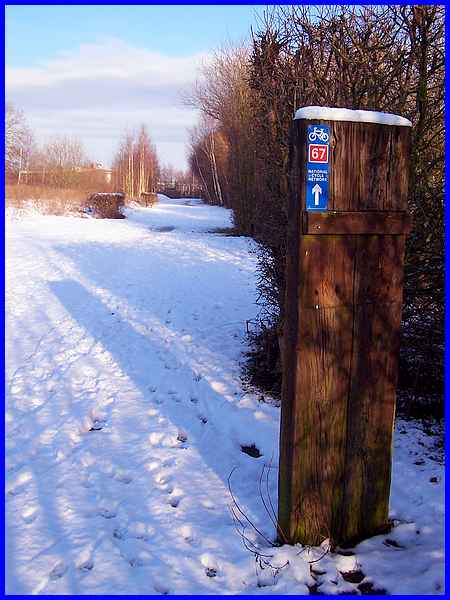
So far the Trail from Quarry Hill Road although not parallel
to it, has roughly followed the same direction as Merlin Way
but near the eastern end it turns through ninety degrees to head
for the end of Merlin Way. Another National Cycle Way sign points
the way.
|
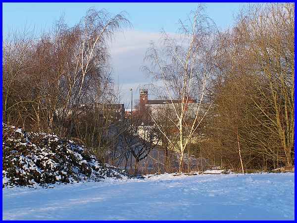
And at the end of Merlin Way - the Trail can be accessed here
- there is a view up Crompton Road to the former St Bartholomew's
Church at Hallam Fields.
|
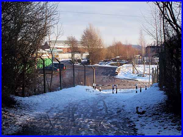
The Nutbrook Trail however continues a little further to the
Crompton Road Industrial Site and carries on through the site
to the Erewash Canal. For images of that section of the Trail
there are a few in Parts 5 and 6 of the Hallam
Fields Industrial Trail that we followed in 2005/06.
|

