Awsworth - Willoughby
Top Cut
w/e 16 July 2006
All
this week's pictures were taken with a Kodak DX6490
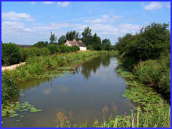
There's a stretch of the disused Nottingham Canal at the side
of the Awsworth bypass that still contains water and from the
look of the anglers on the towpath, there must be some fish in
there too.
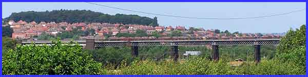
This short walk will take us along the towpath as
far as the Bennerley Viaduct and then back up the other side
of the canal. All along the towpath there are glimpses of the
viaduct and across the River Erewash valley to the Cotmanhay
Farm Estate and Cotmanhay Wood beyond.
|
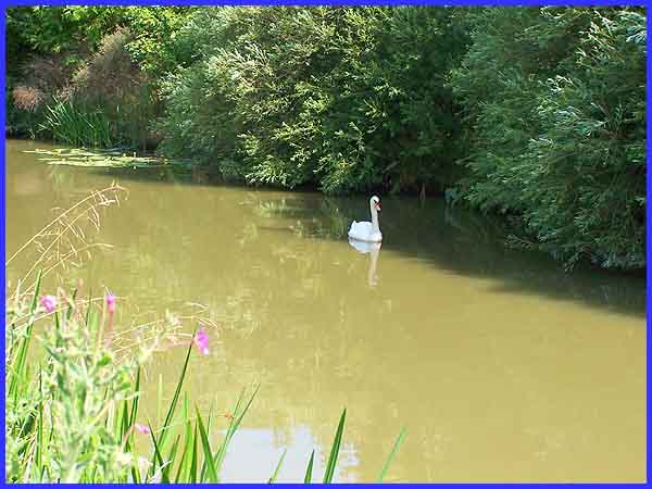
Much closer to hand though are the usual variety of water birds,
coots, moorhens, ducks and of course a pair of swans. This one
was seeking some respite from the hot sun in the shade on the
far side of the canal.
|
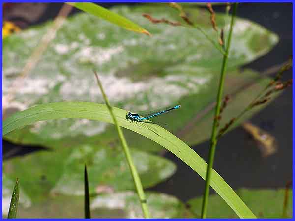
Insects were also to be found in abundance - I'm no expert but
I believe this one to be a Common Blue Damselfly.
|
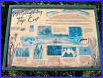 At the midway
and turning point of this walk an information board gives details
of the origin of the name 'Willoughby Top Cut' and states that
the site was created in 1997 to reduce the impact of the construction
of the Awsworth bypass on the local wetland habitats and the
common toad population. In fact tunnels were included in the
development plans for the new road to secure the toad migration
routes. To see all the information on the board including a map
of the site click
here or on the small image on the left to open a new window
showing a larger version (188kb) At the midway
and turning point of this walk an information board gives details
of the origin of the name 'Willoughby Top Cut' and states that
the site was created in 1997 to reduce the impact of the construction
of the Awsworth bypass on the local wetland habitats and the
common toad population. In fact tunnels were included in the
development plans for the new road to secure the toad migration
routes. To see all the information on the board including a map
of the site click
here or on the small image on the left to open a new window
showing a larger version (188kb)
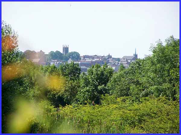
 Looking
back along the canal route (see small image right) from the same
position as the information board, the water is obscured by the
luscious growth of bulrushes, reeds and other water loving plants.
Utilising the zoom lens on the camera though (above) makes even
clearer what can be seen by the naked eye. Another angler on
the towpath confirms the presence of deeper water just beyond
the swampy ground at this point and in the distance above the
rooftops of Ilkeston are the twin features of two churches that
dominate the skyline from all points around - the tower of St
Mary's and the spire of the United Reformed. Looking
back along the canal route (see small image right) from the same
position as the information board, the water is obscured by the
luscious growth of bulrushes, reeds and other water loving plants.
Utilising the zoom lens on the camera though (above) makes even
clearer what can be seen by the naked eye. Another angler on
the towpath confirms the presence of deeper water just beyond
the swampy ground at this point and in the distance above the
rooftops of Ilkeston are the twin features of two churches that
dominate the skyline from all points around - the tower of St
Mary's and the spire of the United Reformed.
|
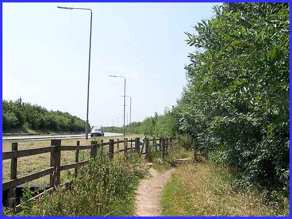
As we begin our return leg of the walk, the new Awsworth bypass
or Shilo Way as it is now called comes into view but the route
back is along the footpath to the right of the fence. The road
is named after an area of nearby land where a Primitive Methodist
chapel was built in 1834. It was described in White's Directory
of 1853 as being 'an extra parochial hamlet of 8 houses on the
western side of the Nottingham Canal.'
|
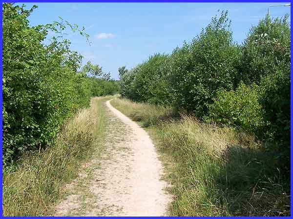
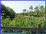
Looking back along the footpath, the presence of the bypass is
betrayed in pictures only by the street lamps high above the
trees and bushes on the right but in reality the noise of the
passing vehicles is only partly muffled by this natural barrier.
In this image the canal is to the left but it does not come into
view until close to the end of the walk because of the intervening
strip of land again filled with trees and bushes although at
one point there is a small meadow filled, at this time of year,
with wild flowers.
|
