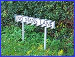
Dale Abbey - Off No Man's Lane
w/e 30 October 2005
All this week's pictures were taken
with a Kodak DX6490
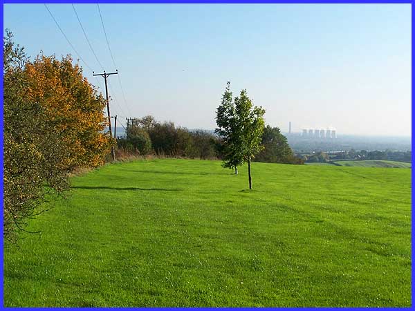
The main access to Maywood Golf Club is off Rushey Lane at Risley
but we reached it via a footpath from No Man's Lane on the high
ground bounded by the Erewash and Derwent Valleys above Stanton
By Dale. The views from the golf course also extend over Long
Eaton across the Trent Valley to where the power station at Ratcliffe
On Soar, some five miles distant as the proverbial crow flies,
is clearly visible.
|
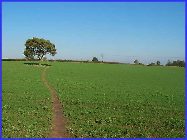
The Golf Club is one of the newer ones in the area being established
as recently as 1990; prior to that the land that it now occupies
was part of Maywood Farm. The field between the golf course and
No Man's Lane through which the footpath runs is still farmed
today and was full of a crop of what looked like young broad
bean plants.
|
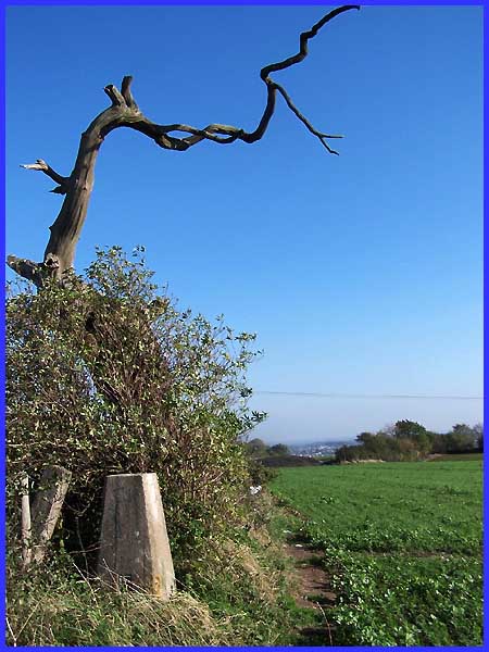
Hidden by the hedge where the path meets the lane is a trig point,
one of over 6000 in the UK. Trig points or triangulation pillars
(see Wikipedia
article) were erected by the Ordnance Survey to give surveyors
a reference point in the days before electronic positioning aids
such as GPS were available. This one is now partly obscured by
the hedge but the rather spooky looking dead tree is a good guide
to its position.
|
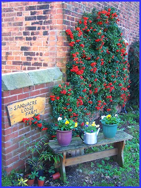
A little further down the lane towards Dale Abbey a couple of
flower filled pots and a tea pot sitting on an old coffee table
provide an enchanting welcome at Sandiacre Lodge Farm.
|
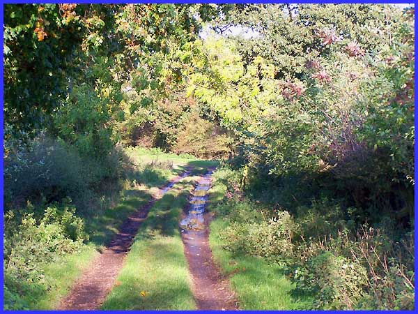
The long distance footpath known as The Midshires Way runs by
the side of the farm and even though these photos were taken
on the warmest October day in the UK for over a hundred years,
recent heavy rain had left the track waterlogged despite still
being on relatively high ground.
|
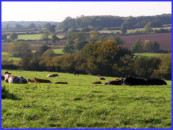
It was worth the walk along the track though for the fine vistas
over the gently undulating contours of the rolling landscape
in this part of south east Derbyshire. Cattle lying in the fields
were perhaps a warning that further precipitation was on the
way. And they were not wrong either!
|
