The Monk's Way - Mill
Lane
This page
added to site on 07 November 2004
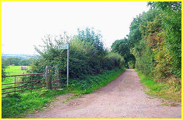
Mill Lane is a bridle path that leads from Cossall
Village to the edge of Ilkeston and it is along here that we
shall once again encounter the original stones of the Monk's
Way. The first part of the path is unremarkable but does provide
some occasional but pleasant views across the Erewash Valley
through the hedgerows.
|
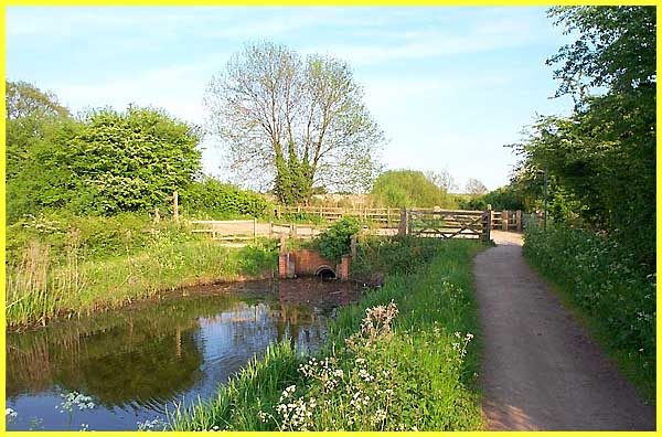
Approximately mid-way between Cossall and Ilkeston,
Mill Lane is crossed by the disused Nottingham Canal. Built in
1796, the canal was a profitable enterprise in competition with
the Erewash Canal (which is closer to Ilkeston) for many years
before being abandoned in 1937. Known locally as the Top Cut
to distinguish it from the Erewash or Bottom Cut, it was a means
of supplying Nottingham with coal. Most of the Nottingham Canal
was acquired by the Broxtowe Borough Council in 1977 and in 1993
became a Local Nature Reserve.
|
Where Mill Lane crosses the canal, there used to
be a swing bridge and remnants of this are still visible although
the canal at this point has now been filled in.
|
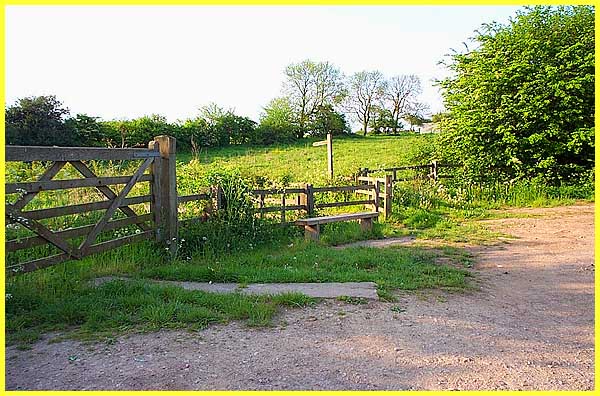
As the lane now descends towards Ilkeston, the stones
of the Monk's Way put in a reappearance. This picture was one
of the first I took of the Monk's Way and dates from May 2001.
Although overgrown the stones could easily be seen in the grass
on the left.
|
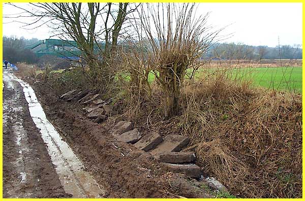
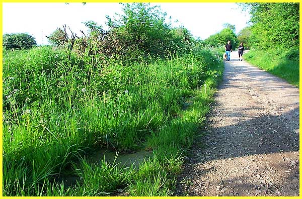
They were also easy to see in an icy and muddy January
2003, bulldozed and broken as they were at the side of the path,
with scant regard for our heritage and local history. Whatever
the truth of their origin, whether actually laid by monks or
not, they surely deserved better treatment than this and after
the matter was raised with the local council, the stones were
eventually relaid.
|
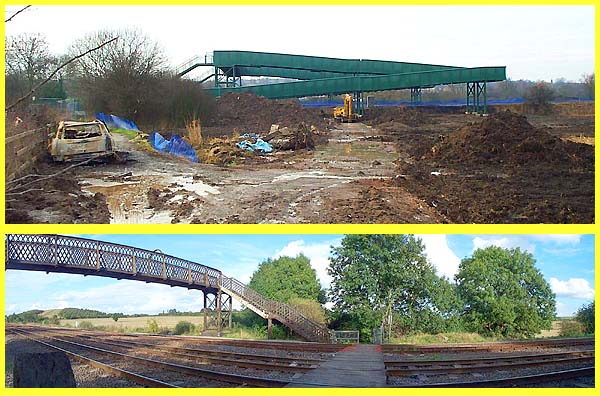
The reason for the bulldozing was to allow construction
traffic access to the railway line to facilitate the building
of a monstrous new bridge. Whilst it is difficult to argue against
the bridge which does provide a much safer route for pedestrians,
cyclists and horse riders to cross the railway lines via the
sloping ramps on each side, it must be admitted the the old bridge,
even in its rusty state of repair, did provide a much more pleasant
and attractive countenance. Of course when the monks trod the
stones and travelled along this way between Strelley and Dale,
the railways wouldn't even have been there.
|