The Monk's Way - Over
The Erewash
This page
added to site on 05 December 2004
The railway line would not have been an obstruction centuries
ago for travellers along the Monk's Way but they would have needed
to find some means to cross the River Erewash as they passed
from the county of Nottinghamshire into neighbouring Derbyshire.
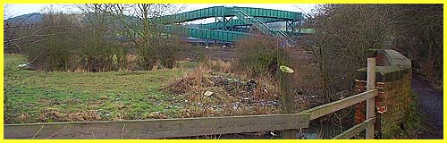
There would probably have been some sort of bridge across the
river in this vicinity at the end of Mill Lane in ancient times
and today a solid brick walled structure seen on the right of
the picture above spans the water.
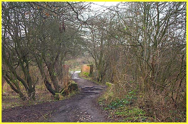
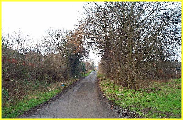
Between the railway line and the river, Mill Lane
has reduced from a bridle path to an uneven and rutted footpath
as it passes through a small copse. If this is typical of those
ancient thoroughfares allowing the passage of packhorses, it
is not surprising that stone slabs were carried and laid one
by one to ease the journey.
|
Mill Lane derives its name from Ilkeston's Corn Mill
which stood in this vicinity being driven by the flow of the
Erewash. Mention of packhorses, water mills and ancient thoroughfares
conjures up an image far removed from today's high-tech world
but it was on these foundations that the society of the modern
era was built.
|
After crossing the Erewash, travellers up to three
quarters of the way through the eighteenth century would have
had a clear run into Ilkeston and then onward to Dale Abbey.
By 1779 however, the Erewash Canal had been constructed following
a similar route and close to the river of the same name. The
canal, which runs for a distance of almost twelve miles, allowed
an easy and cheap means of transporting goods, most notably coal,
along the Erewash Valley to Nottingham and beyond. From the banks
of the river, properties on the Park Farm estate built on land
that was previously used for agricultural purposes can be seen
beyond the bridge over the canal.
|
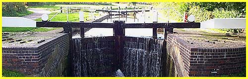
The bridge crosses the canal at Potter's Lock, one of fifteen
locks on the Erewash Canal.
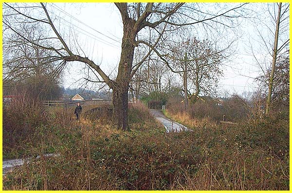
The lane from Potter's Lock leads between properties
left and right to Park Road. It is called Monk's Close; no doubt
a direct reference and link to the stones of the Monk's Way.
|
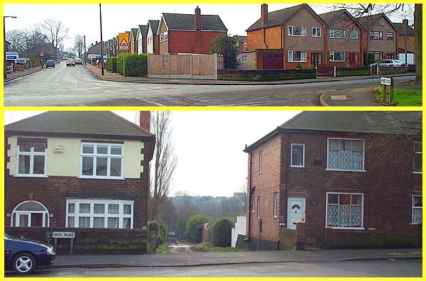
The stones of the Monk's Way were still visible well
into the twentieth century in Park Road (left side of the top
part of this image) but when the construction of the new housing
development took place, these were removed. Where Park Road meets
Green Lane - another reference to an ancient route - it turns
right and continues towards the town centre. The direct route
to Dale Abbey would be along this track straight in front (lower
part of image) but this only leads to allotment gardens. In fact
at the time of writing, December 2004, work is in progress in
preparation for more housing development on the gardens. I suppose
there is a slight chance that more stones will be uncovered during
the building work but from here on, the highways and byways of
Ilkeston together with all the development and expansion of the
town that has taken place since the stones were first laid, means
that it is unlikely that we can ever be sure of the exact route
to Dale.
|
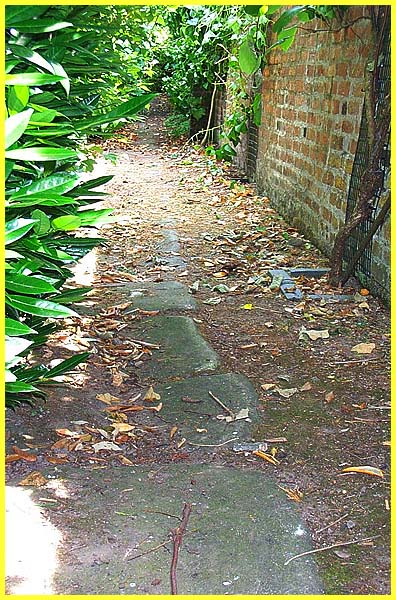
The walk from Strelley to Ilkeston concludes at Park
Road although we still have to visit Dale Abbey but the final
image from Ilkeston is from the garden of the Erewash Museum.
It is here that a number of the stones from Park Road were salvaged
and relaid. There is also a photograph in the museum that clearly
shows the stones on Park Road before the housing development
was started.
|