The Monk's Way - Holly
Copse
This page
was added to the site on 01 August 2004
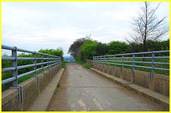
Leaving Strelley Village behind us we are now following a bridle
path as we continue our exploration in search of the "Stones
of The Monk's Way". Crossing over a bridge that would most
definitely not have been here in ancient times and would not
have be seen by any traveller, monk or not, Holly Copse can be
seen on the right.
(Broxtowe Borough Council's leaflet contains a map of the
route and can be seen here on the council's site.)
|
The bridge crosses the M1 motorway that
speeds today's travellers between London and Leeds and all towns
between; the peace of the countryside being disturbed here by
the constant roar of rubber on tarmac.
|
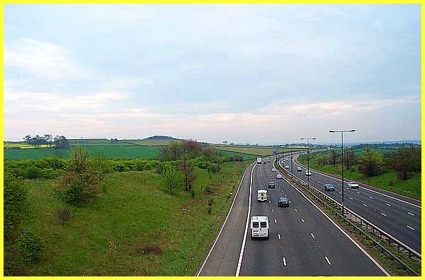
Once over the bridge, the view opens up to reveal the M1 ribboning
southwards on the left with Oldmoor Wood in the centre and the
bridle path and Holly Copse on the right.
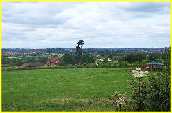
This is predominantly farming country and this view from a little
further along the path shows Oldmoor Farm and Cottages nearest
the camera. The white buildings just to the right of centre are
at Grange Farm whilst off picture to the right is Turkey Fields
Farm. The spire of the United Reformed Church and the tower of
St Mary's Church in Ilkeston are visible on the horizon immediately
above the house at Oldmoor Farm.
|
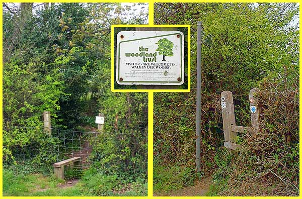
As this is mainly farm land, it is advisable to stay on the designated
footpaths and bridleways but access is permitted to Holly Copse
which is administered by the Woodland Trust. Access to the wooded area
is gained at several points via styles at the edge of the bridleway.
|
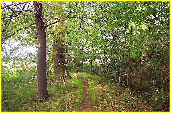
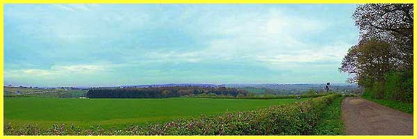
The copse is a mixed broadleaved woodland with many paths between
the trees.
|
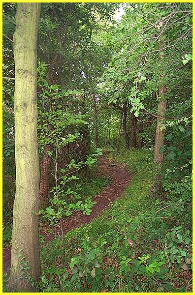
One path running parallel to the bridleway soon leads back to
the main route but if you have time to spare, this is a delightful
place to explore and enjoy.
|
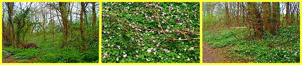
A description of Holly Copse can be found here together with a little history of the
site which was planted in the 1790s.
|