The Top Cut Loop - Part 02
w/e 15 November 2020
All of this week's pictures were
taken with a Kodak DX6490
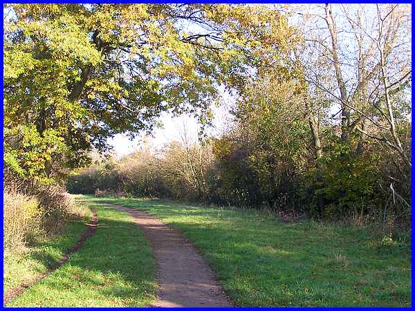
As we continued along the Top Cut two well worn paths became
apparent, a narrow one on the left near where the towpath would
have been and a wider one where the water in the canal would
have been.
|
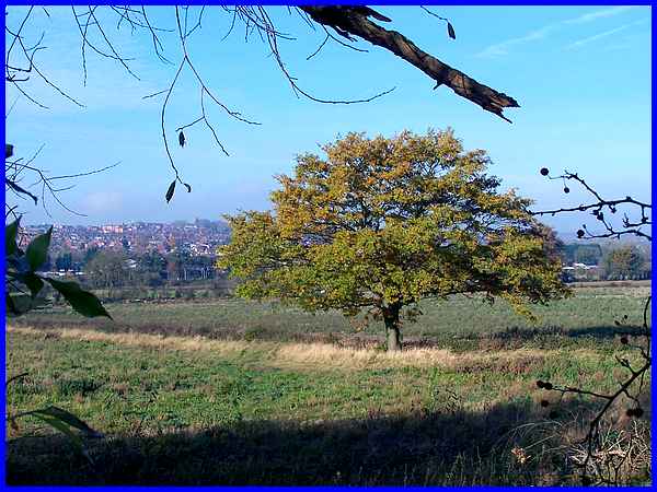
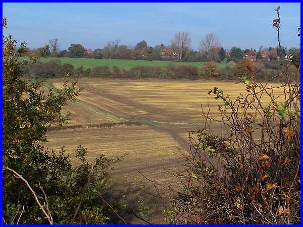
Gaps in the hedgerow to the left provided more opportunities
to look across the Erewash Valley but a single tree still in
full leaf also made a good focal point.
|
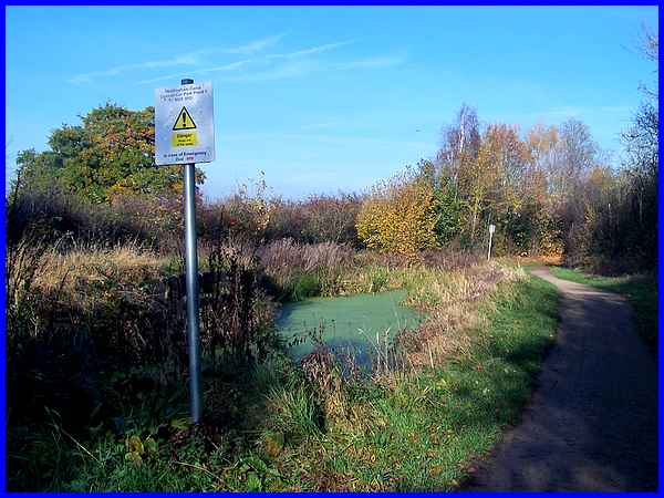
The two paths diverged to pass either side of some water that
still remains in the canal and the sign indicated this was "Nottingham
Canal Cossall Car Park Pond 1".
|
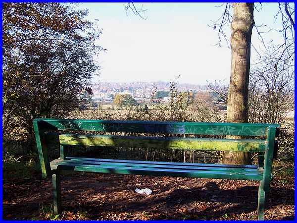
After the pond the paths are separated by a mound of earth and
at one point a bench has been installed on top of the mound to
provide a good viewing place.
|
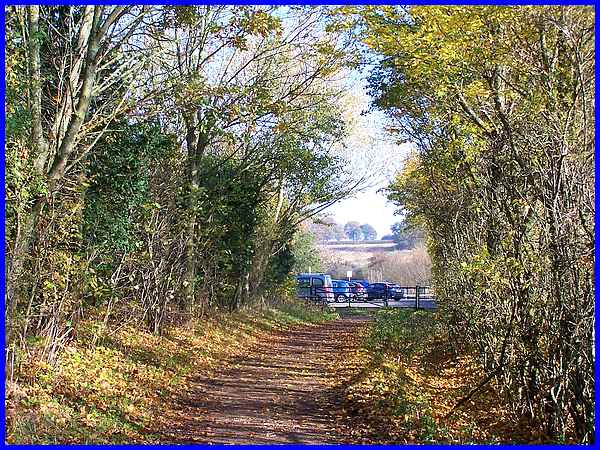
Still separated by the mound, both paths now approach and come
together at the Cossall Road Car Park.
|
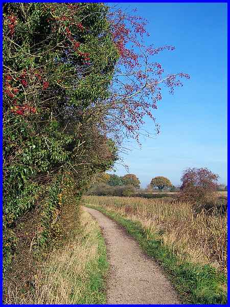
After the car park the towpath continues to the left of the canal
which is now obscured by reeds and rushes. It was here though
that the hedgerow on the left was absolutely full of berries.
|
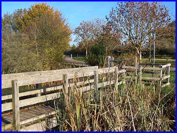
A crossing point over the disused canal leads to another small
car park in a lay by off Cossall Road.
|
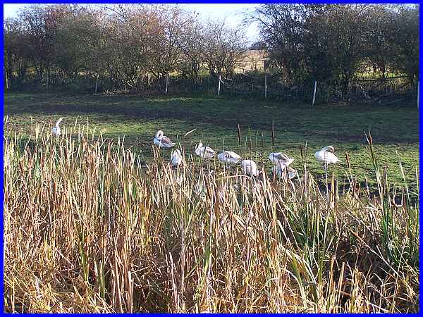
There is actually water in the canal now but about two thirds
of it is still full of rushes and reeds. On the far bank however
there were two swans and seven cygnets.
|
The canal now loops round keeping at the same level but there
is a short cut across Tormentil Field which was a popular 19/20th
century picnic and beauty spot until outcropping took place.
|
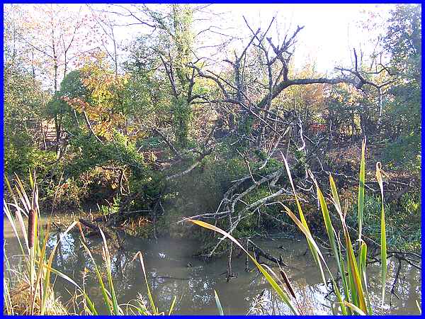
We continued the long way round rather than taking the short
cut and with more water appearing it began to resemble more of
what you would expect a canal to look like but the presence of
water had done little to sustain a dead tree on the other side.
Route
Map
|
