Cossall & Strelley - Part 04
w/e 07 August 2011
All this week's pictures were taken
with a Kodak DX6490
I think it is pretty obvious by now that this walk
was not completed in one go but broken down into smaller sections
over a number of weeks. That being so for this final section
we caught a bus towards Kimberley from Ilkeston and alighted
at Awsworth Lane, Cossall where we concluded Part 3.
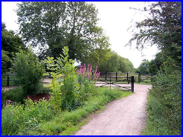
  Picking up the route again where we emerged onto
Awsworth Lane from the footpath from Babbington, my instinct
would have been to turn left to head for Cossall Village but
Malcolm Sales' route in his "100 Walks in Nottinghamshire"
says to turn right for about 50 yards, carefully cross the road
and follow the drive seen above to a small factory. At the side
of the factory a path (left) leads between two paddocks to a
stile (right) into a thicket of hawthorns. Picking up the route again where we emerged onto
Awsworth Lane from the footpath from Babbington, my instinct
would have been to turn left to head for Cossall Village but
Malcolm Sales' route in his "100 Walks in Nottinghamshire"
says to turn right for about 50 yards, carefully cross the road
and follow the drive seen above to a small factory. At the side
of the factory a path (left) leads between two paddocks to a
stile (right) into a thicket of hawthorns.
|
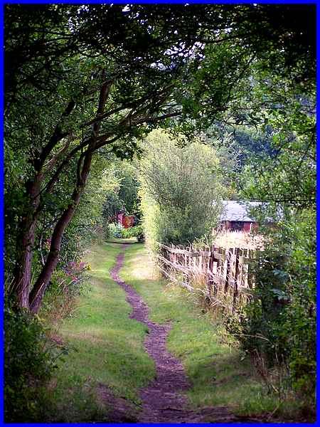
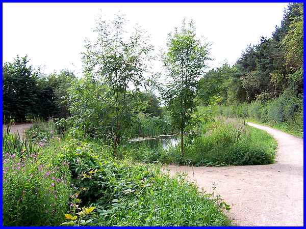
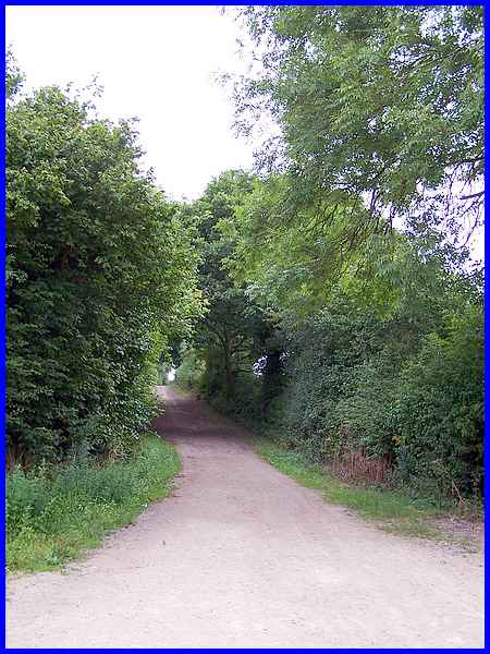
The thicket is actually on the route of the old Babbington Branch
of the Midland Railway that joined the Erewash Valley line at
Ilkeston Junction. Once through the trees Malcolm Sales advises
following the "clearly defined 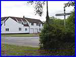 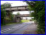 path"
to emerge opposite Church Lane (left) at Cossall Marsh. The road
to Ilkeston (Coronation Road) from here does not appear on maps
until the First World War years and the current line of the road
was a post World War 2 realignment. Our route is to follow the
Coronation Road under the two bridges (right) to ascend by a
flight of steps up to the Nottingham Canal. path"
to emerge opposite Church Lane (left) at Cossall Marsh. The road
to Ilkeston (Coronation Road) from here does not appear on maps
until the First World War years and the current line of the road
was a post World War 2 realignment. Our route is to follow the
Coronation Road under the two bridges (right) to ascend by a
flight of steps up to the Nottingham Canal.
|
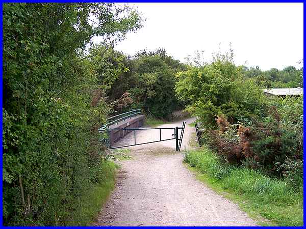
The canal is carried across the road in a large pipe via the
first bridge and the second allows pedestrian and cycle access.
Skirting the industrial development on the former Cossall Colliery
site the path rises again to reach the towpath alongside the
canal.
|
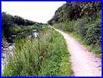
The first part of the towpath walk is by an overgrown area for
the same pipe that carries the canal water across the road also
extends for some distance and there is very little water to be
seen. Very difficult here to imagine narrow boats plying their
trade transporting coal to the River Trent at Nottingham.
|
The towpath eventually splits and actually crosses the canal
to run along both sides. From here on however there is more water
in the canal but still not enough for it ever to be navigable
again.
|
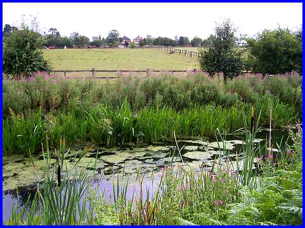
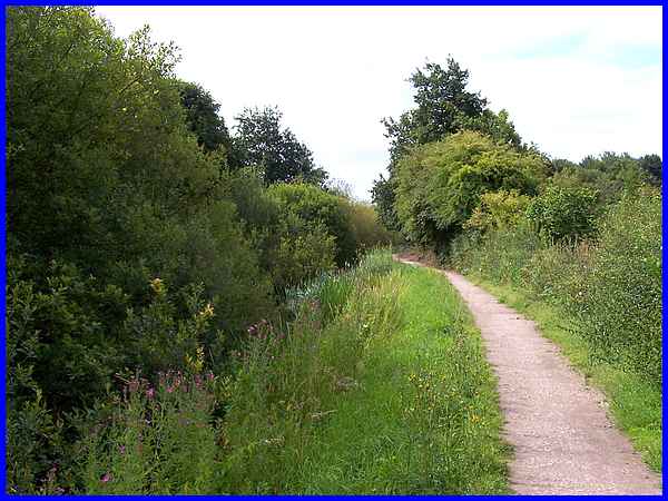
  From here on until we leave the towpath
the canal is enclosed on both sides by trees and high hedges
(left) but there are intermittent views to the right across the
Erewash Valley to Ilkeston (right) and to the left the houses
at Cossall (above) our ultimate destination can be seen only
a couple of fields away. Back in 2007 we walked along the towpath
in the opposite direction and images from then can be seen here. From here on until we leave the towpath
the canal is enclosed on both sides by trees and high hedges
(left) but there are intermittent views to the right across the
Erewash Valley to Ilkeston (right) and to the left the houses
at Cossall (above) our ultimate destination can be seen only
a couple of fields away. Back in 2007 we walked along the towpath
in the opposite direction and images from then can be seen here.
|
At the former swing bridge position on Mill Lane we could have
turned right and soon been back home in Ilkeston but in order
to complete the circuit we left the canal which is now a Local
Nature Reserve and turned left to head into Cossall Village.
|
Following Mill Lane to Cossall is another example of a route
we had completed previously in the opposite direction. That can
be seen in Part
10 of the Monk's
Way series which includes images not only of Mill Lane but
also of the former swing bridge position and the Nottingham Canal
in November 2004.
|
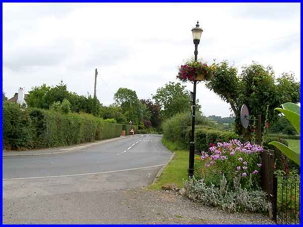
Mill Lane joins the same Church Lane that we saw at Cossall Marsh
but now it's at the south side of the village having wound its
way up the hill and through the village centre.
|
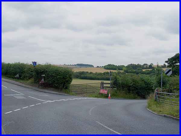
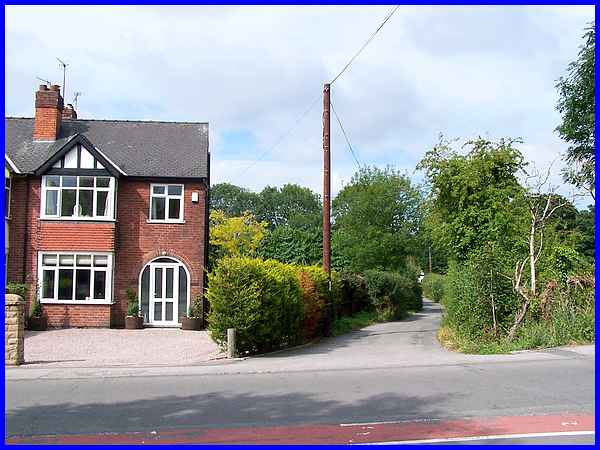
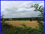
And where Church Lane meets Robinettes Lane to the left and Dead
Lane to the right marks the end of the circular route. The temporary
road sign "Slow" would have been more appropriate if
it had said "Stop" for this is the start and finish
point of Malcolm Sales' route. Dead Lane leads to the bridle
path that took us to the motorway seen here in the distance and
then on past the trees on the horizon into Strelley and on to
Swingate. Although this marks the end of the route, we still
had to get back to Ilkeston. Such is the complexity and inter
linking of paths in this area that we were able to return through
Cossall and along the first part of the Dragonfly Trail (again in the reverse direction)
to Cossall Marsh just in time for the bus back into town.
|
