Cossall & Strelley - Part 02
w/e 19 June 2011
All this week's pictures were taken
with a Kodak DX6490
  Since
Part 1 I have now measured this walk and it is closer to 6½
miles than the 5 stated in Malcolm Sales' book. However, having
covered some sections of the walk previously we are now filling
in the gaps and we pick up the route (left) at the end of Part
6 of the Monks Way in Strelley (right) which is about 2½
miles from the start. We will therefore, pass the mid-point somewhere
between here and Swingate. Since
Part 1 I have now measured this walk and it is closer to 6½
miles than the 5 stated in Malcolm Sales' book. However, having
covered some sections of the walk previously we are now filling
in the gaps and we pick up the route (left) at the end of Part
6 of the Monks Way in Strelley (right) which is about 2½
miles from the start. We will therefore, pass the mid-point somewhere
between here and Swingate.
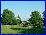
Instead of turning left à la Monk's Way, our route this
time takes us northwards out of Strelley along Main Street passing
Strelley Lodge on the right. There is only one street through
the village and as such this still forms part of the long distance
path, the Robin Hood Way that we joined earlier.
|
Main Street ends at Home Farm but a bridle road and the Robin
Hood Way continues to the north.
|
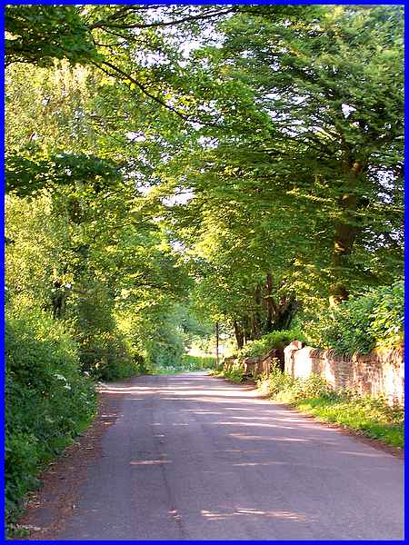
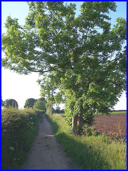
The bridle road is only wide enough for one vehicle but the traffic
noise for the next couple of hundred yards increases with every
step as the motorway converges from the left. The building just
visible over the hedge on the right is Holly Lodge.
|
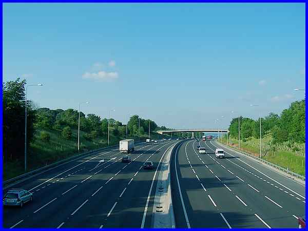
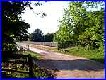  At Holly Lodge the bridle road swings to
the left and onto a bridge (left) over the recently widened M1
motorway. Now with four lanes each way the improvements have
also included new tree and shrub plantings on each side but once
across the bridge we leave the bridle road to turn south for
a short distance where the existing flora at the side of the
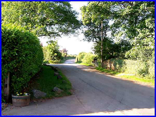
path (right) is already mature. At Holly Lodge the bridle road swings to
the left and onto a bridge (left) over the recently widened M1
motorway. Now with four lanes each way the improvements have
also included new tree and shrub plantings on each side but once
across the bridge we leave the bridle road to turn south for
a short distance where the existing flora at the side of the
path (right) is already mature.
|
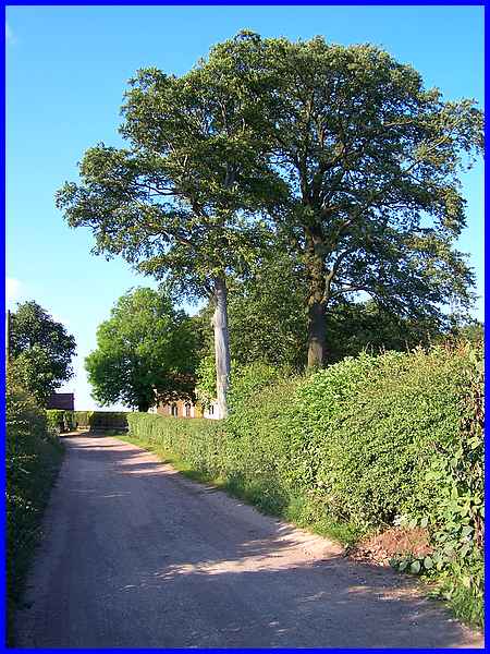
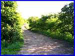
  After a short way of running parallel to the
motorway, the path turns to the north again (left) and runs directly
into Swingate initially along a hedge line to a field currently
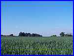
full of a cereal crop (right). I'm more used to seeing Swingate
from Ilkeston so this view in reverse was quite a novelty, the
spire of the URC and the tower of St Mary's being prominent on
the hilltop across the Erewash Valley. After a short way of running parallel to the
motorway, the path turns to the north again (left) and runs directly
into Swingate initially along a hedge line to a field currently
full of a cereal crop (right). I'm more used to seeing Swingate
from Ilkeston so this view in reverse was quite a novelty, the
spire of the URC and the tower of St Mary's being prominent on
the hilltop across the Erewash Valley.
|
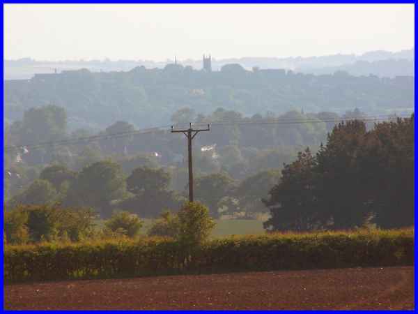
Swingate itself sits on the high point of the ridge between Ilkeston
and Nottingham and from a distance two features are nearly always
visible on the skyline. The path from Strelley gently rises to
the high point and in this view the water tower, our objective
in this part of the walk, can be seen directly ahead just to
the right of the pole at the side of the path.
|
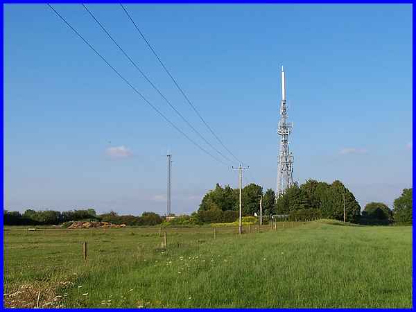
The other feature visible from miles around is the television
relay mast that sits in a compound of radio and mobile phone
aerials, dishes and control buildings.
|
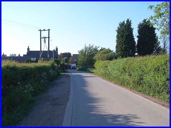
The path eventually joins a metalled road that provides access
to the aerial site and nearby farm and leads us to the first
properties at Swingate.
|

The plaque on the wall of the first building reads "Gate
House" and the road nameplate on the second reads "Swingate"
and between the two properties stone gate posts stand either
side of the road. In the 1970s and 80s during my working life
I had cause to visit the aerial site several times and on each
occasion the gate across the road at this point was usually locked
which entailed knocking on the door of the Gate House to request
the occupant to open the gate. It seems the powers that be are
more relaxed about access these days and the gate has now been
removed.
|
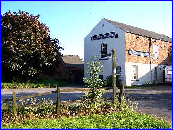
A footpath seen directly ahead in the previous image leads straight
on to emerge onto the car park of the Queen Adelaide that we
last saw in Part 5 of the Village
Trail around Kimberley earlier this year (2011). We will
continue this "Cossall and Strelley" walk just around
the corner from the Queen Adelaide at the water tower and head
for Babbington before returning to Cossall.
|
