Cotmanhay Loop - Part 02
w/e 12 May 2024
All of this week's
pictures were taken with a Nikon D3300
This second part of the route
takes us from Heanor Road through part of Cotmanhay towards Awsworth
Road.
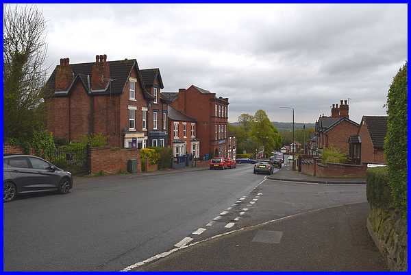
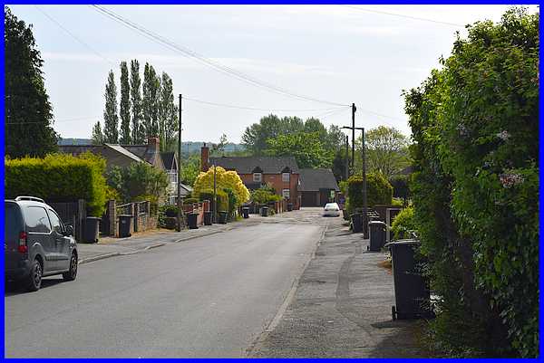
Although Part 01 ended on Heanor Road, our walk that day took
us down Charlotte Street (above) to end on Cotmanhay Road where
we boarded a bus to take us back home.
|
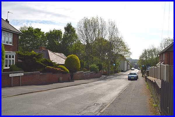
Now on a much brighter day a couple of weeks later we returned
to Cotmanhay Road and turned immediately into Ebenezer Street
but only walked down as far as the parked cars.
|
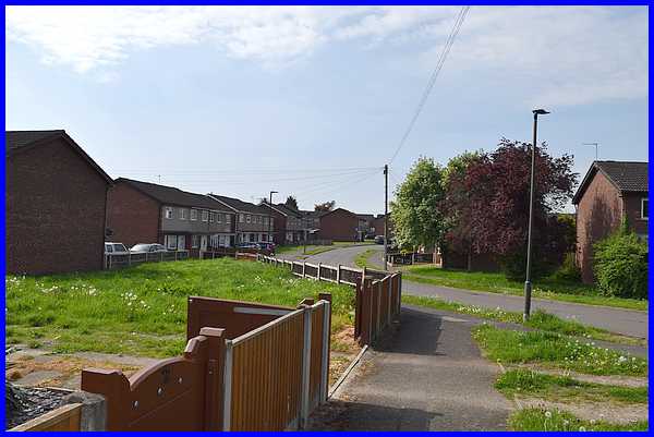
Opposite the cars we turned left to pick up part of the Cotmanhay
Linear Park. This was a slight variation of the original Walking
For Health route which carried on along Cotmanhay Road , picking
up the Linear Park at Duke Street.
|
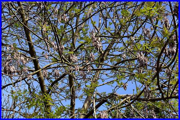
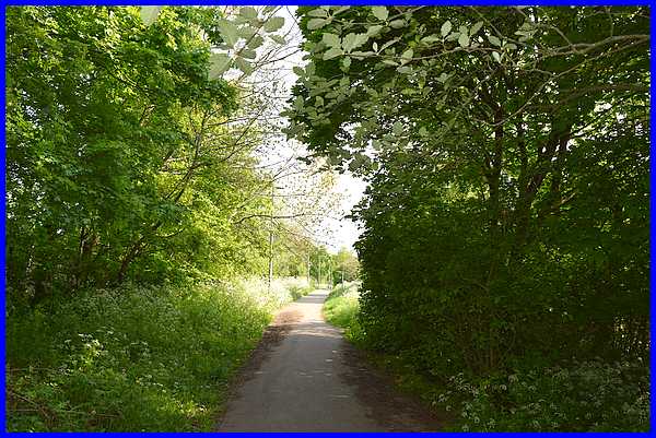
The path through the Linear Park is full at the moment with lush
green spring growth and the air was full of bird song. In particular,
in one of the trees there came the sound of a melody, the volume
of it enough to enable me to see the source. The bird in question
is somewhere in the image above. In days gone by photographers
would encourage you to "Watch the birdie" when pointing
their camera at you but in this case, I invite you to spot the
bird. It's actually well camouflaged and if you can't find it,
there's another image below showing where it is.
|
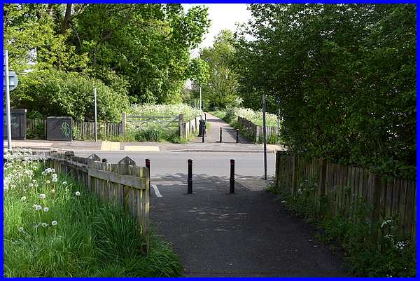
A little further on we reached Duke Street which we crossed to
continue through the Linear Park on the original WFH route.
|
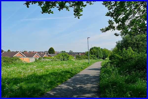
The Linear Park is actually following the route of the former
railway line between Ilkeston North Station (off Heanor Road)
towards the Bennerley Viaduct across the Erewash Valley into
Nottinghamshire. This section from Duke Street is a little more
open than the previous section and properties are often visible
on both sides.
|
The Linear Park ends at Nelson Street. Nelson Street was originally
just a short road off Cotmanhay Road to Granby Farm but after
the closure of the railways in the 1960s, the farmland was redeveloped
as a housing estate. The WFH route here crosses Nelson Street
and loops round some of the cul-de-sacs on the estate, presumably
to increase the length of the walk to the recommended three miles.
|
The route then returns to Nelson Street to continue all the way
to its junction with Duke Street.
|
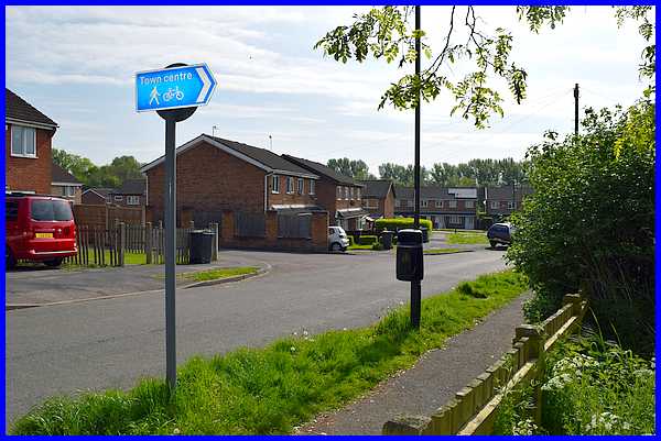
On reaching Duke Street again, it's now a left turn to head for
Awsworth Road.
|
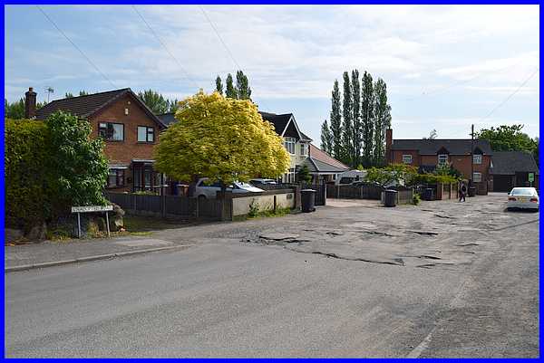
The bottom of Duke Street is as the road
sign says, an "Unadopted Road". There has been a lot
of criticism this year about the number of potholes in the roads
but the state of this bottom part of Duke Street is no better
nor any worse that it has been for as long as I can remember
- and I can go back a long way!
|
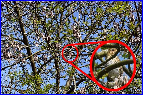
Answer to "Spot The Birdie" above:- I
wouldn't swear to it but judging by the lovely loud bird song
coming from somewhere in the tree above our heads, I think this
is could be a song thrush or maybe a mistle thrush. If you can
positively identify it, please let me know.
Return to original image.
|
