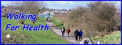
Cotmanhay Loop - Part 01
w/e 28 April 2024
All of this week's
pictures were taken with a Nikon D3300
In the first decade of this
century we walked nearly every week with the Monday Strollers'
Walking For Health Group and this route to and from Cotmanhay
was regularly included in the programme of walks. It's been some
years though since we followed the route so it will be interesting
to see if anything has changed.
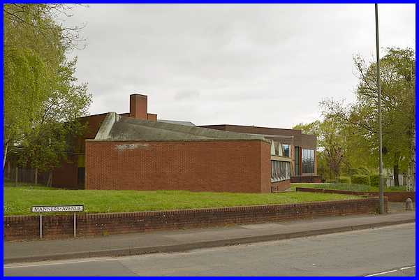
Like many other routes followed by the WFH group, the walk starts
at the Victoria Park Leisure Centre. Actually when we walked
with the group, the walkers assembled on the car park behind
the Centre and exited on to Manor Road. We began this walk at
the side of the Centre on Manners Avenue.
|
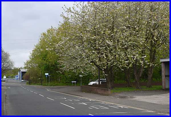
It's only takes a few steps along Manners Avenue before it is
joined by Manor Road from where we continued straight ahead into
the industrial estate.
|
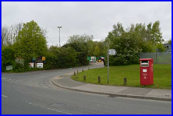
We walked along Manners Avenue and then turned right to pass
the Household Waste Recycling Centre (commonly known as "The
TIp").
|
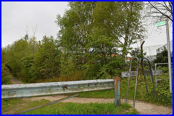
Just past the "Tip", a footpath leads off to the left.
The route so far is the same covered by the first two images
in the Shipley Linear route that we walked in January 2022.
|
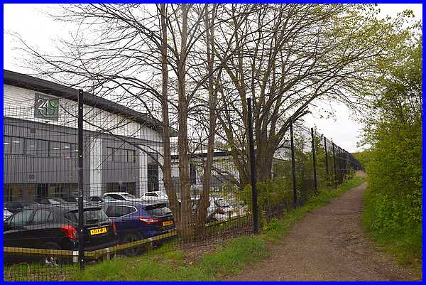
After following the footpath for a little way another path leads
off to the right and it's here that there is a significant change
from our Shipley Linear walk two years ago. In the interim two
large industrial units have not only been erected but they are
both occupied too. Compare this image with third one down on
the Shipley Linear
walk.
|
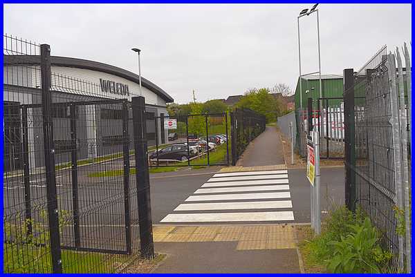
Between the two new units a vehicular access has been created
with a pedestrian crossing and the footpath now has been given
a tarmac surface.
|
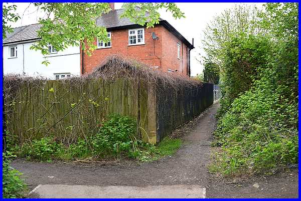
The path sweeps round the end of the shared routes and this is
where they diverge. The Shipley route turns to the left to the
Abbotsford Community Centre and the Shipley View Estate whilst
the Cotmanhay route, which we followed, continues ahead onto
the Boweswell Road Estate, most of which was built in the early
1930s.
|
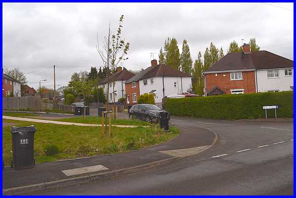
The path comes out on to a short extension to Bosewell Road which
continues on the right to Heanor Road. Ahead is Peveril Drive
which loops round in a semi-circle back to Bosewell Road. Our
route continued to Peveril Drive.
|
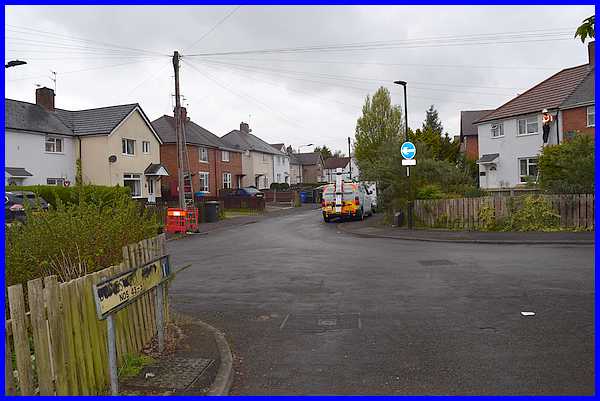
We walked nearly all the way round Peveril Drive but shortly
before it rejoins Boweswell Road we turned into the short cul-de-sac
that is Rose Avenue.
|
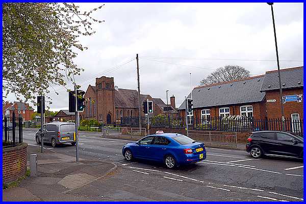
A footpath, still called Rose Avenue, leads
from the end of the cul-de-sac to a track which may also be called
Rose Avenue although I've seen one map where it is labelled Jessie
Lane. Whatever it is called, continuing straight on brings you
out on Heanor Road opposite Granby Junior School. The route now
crosses Heanor Road and into Charlotte Street where the former
Methodist church standing on the opposite corner is now home
to Ilkon, the home of Ilkeston Contemporary Arts.
Forward to Part 02
|
