Parks and Water - Part 01
w/e 07 April 2019
All of this week's pictures were
taken with a Kodak DX6490
Having gone through the winter in good health it
was something of a shock to be stricken with a sore throat, bouts
of sneezing and a runny nose as soon as we changed the clocks
to British Summer Time. An opportune time then to partake of
this three mile Walking for Health route although I am yet to
be convinced of the health benefits of walking through Ilkeston
whilst dodging the April showers when a cold wind is blowing
too.
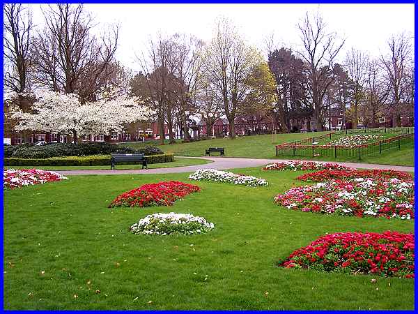
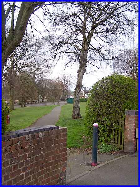
The Monday Strollers' Walking for Health group have several walks
starting at the Victoria Park Leisure Centre and this one is
no exception. Like several of the others that radiate from the
Centre it begins with a walk through Victoria Park itself.
|
From the top gate of the park the route, with safety in mind,
uses the pedestrian crossings to cross King George Avenue and
Wharncliffe Road to continue along the whole length of New Lawn
Road.
|
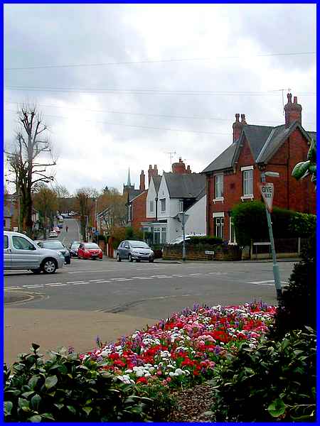
A left turn at the junction with Pimlico leads to the town centre.
|
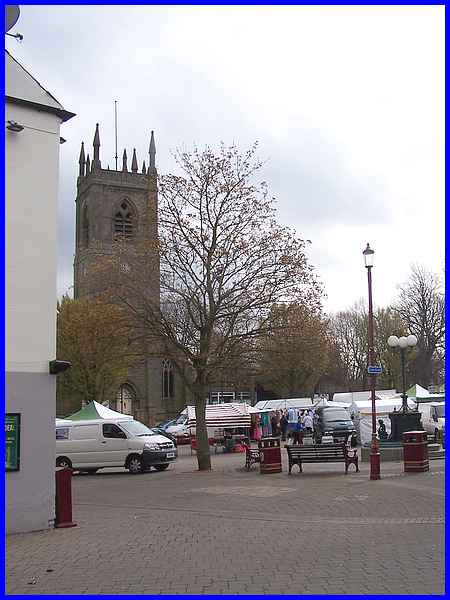
Entering the Market Place between the King's Head on the left
and the Sir John Warren on the right the Strollers on a Monday
would walk diagonally across to the opposite corner but on a
market day it's a matter of negotiating the market stalls to
reach the other side.
|
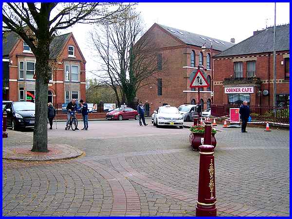
Market day too means that taxis are waiting for fares on Market
Street rather than in front of the library. Despite part of the
pavement being cordoned off to allow painting of the railings
around the Corner Cafe, it's easy enough to find a way along
Market Street to Hallcroft Road in front of the Rutland Garments
factory which has recently been converted into the Rutland Mill
Apartments. From this point on the Market Place it is just possible
to make out the footbridge over Chalons Way to the left of the
former factory.
|
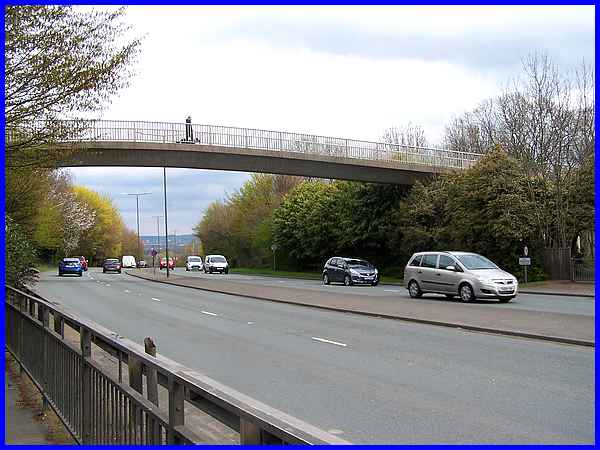
From Hallcroft Road however there is a much better view of the
bridge that forms the next part of the route.
|
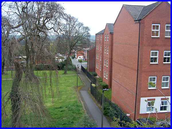
And from the far side of the bridge on the "whirligig"
descent from the bridge the footpath between the old St Mary's
churchyard and the housing estate built on the site of the former
Hallcroft Schools can be seen leading to Vincent Avenue.
|
At the far end of Vincent Avenue the route continues across the
second park on the walk that of Chaucer Old Park or as most people
know it, 'Illy 'Oleys. This commonly used name is derived from
the hills and holes that were produced from mineral mining here
in the distant past.
|
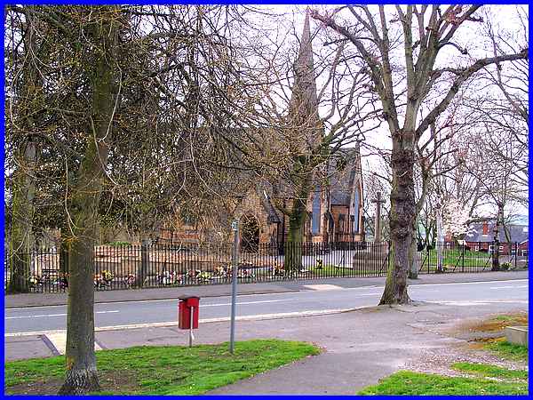
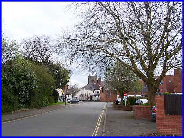
The path through the park leads to Cantelupe Road and Park Cemetery
which is our next port of call. Notice too the War Memorial seen
here between the cemetery chapels and the tree at the edge of
the road.
|
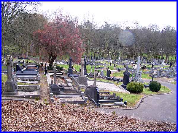
Maybe it's my warped sense of humour but I've always thought
it a little odd taking a Walking for Health group through a cemetery
but in all honesty it is a more pleasant route than following
the road round. The path winds its way through between some ornate
tombstones up and down the hollows which continue from 'Illy
'Oleys down to the River Erewash. Despite what you think, that
spectral circle is not a spirit rising from the graves but merely
a raindrop that landed on the camera lens from one of those April
showers.
Forward to Part 02
To see a map/aerial view of the original planned route in a new
window follow this link.
|
