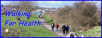
The Shipley Common Loop - Part 02
w/e 17 April 2016
All of this week's pictures were
taken with a Kodak DX6490
The outward leg of this route sticks mainly to public
footpaths even though some of it passes through the Shipley View
housing estate. This would have been even more true but for the
enforced detour due to a footpath to the Nutbrook Trail being
closed. Much of the return leg though is through the housing
development.
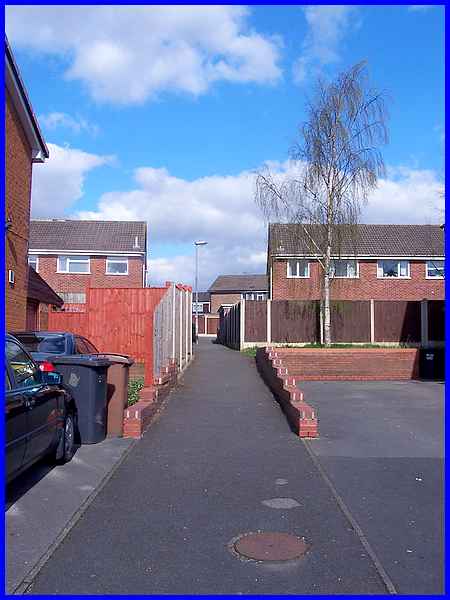
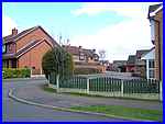 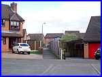 Picking
up the planned route again at the end of Atherton Road the route
crosses Pentridge Road into Foxton Close (left), one of many
cul-de-sacs on the estate. An alleyway or jitty as we call them
in these parts (right), leads through to another cul-de-sac called
Barclay Court. To the uninitiated, some of the jittys are not
obvious and here one starts in front of the houses in the distance. Picking
up the planned route again at the end of Atherton Road the route
crosses Pentridge Road into Foxton Close (left), one of many
cul-de-sacs on the estate. An alleyway or jitty as we call them
in these parts (right), leads through to another cul-de-sac called
Barclay Court. To the uninitiated, some of the jittys are not
obvious and here one starts in front of the houses in the distance.
|
This jitty links Barclay Court with Summerfields Way, one of
the main roads through the estate.
|
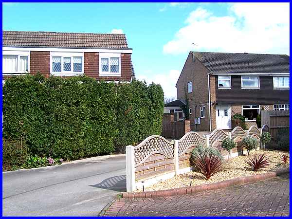
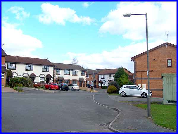
  The
route crosses Summerfields Way into Newstead Road North where
entry to the next jitty is again not obvious. It lies from what
looks like a drive to a pair of semi-detached houses and can
be seen towards the centre of the image above. This jitty is
actually in two halves separated by a grassed area (left) surrounded
by more properties with the second part (right) leading through
to Kedleston Drive. The
route crosses Summerfields Way into Newstead Road North where
entry to the next jitty is again not obvious. It lies from what
looks like a drive to a pair of semi-detached houses and can
be seen towards the centre of the image above. This jitty is
actually in two halves separated by a grassed area (left) surrounded
by more properties with the second part (right) leading through
to Kedleston Drive.
|
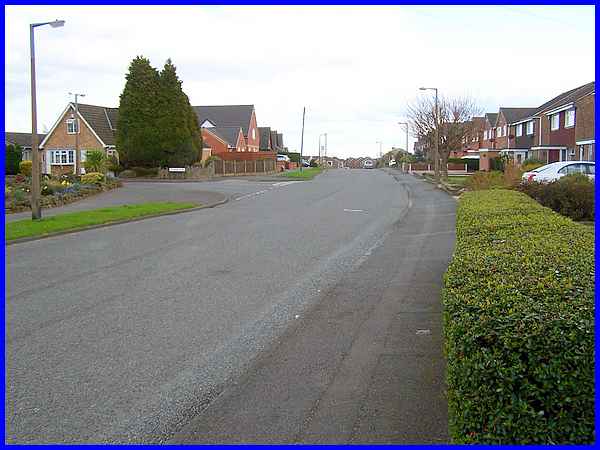
Kedleston Drive is another of the main roads through the estate
and the route takes us to the right all the way along it to Summerfields
Way South.
|
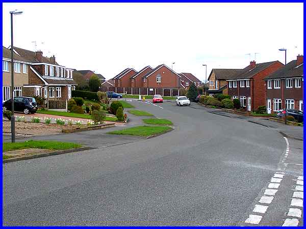
From the junction with Newstead Road South, Kedleston Drive can
be seen meeting Summerfields Way South. Kedleston Drive continues
to the left to Heanor Road but the route of this walk is to the
right down Summerfields Way South.
|
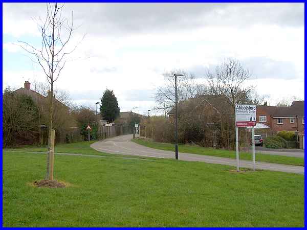
At about two miles from the start of the walk we turn off Summerfields
Way South to leave the estate and follow the drive to the Abbotsford
Community Centre.
|
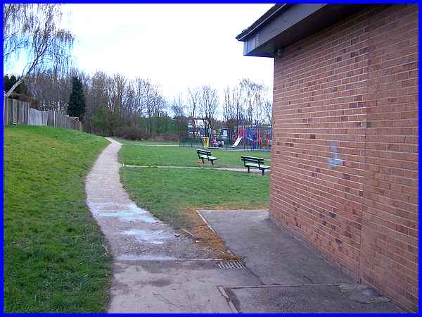
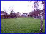
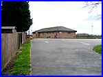  As well as providing
facilities within the building itself, there is a large car park
(left) an area with play equipment for children and football
pitches. There was also someone practising their golf swing as
we passed and at the far end of the site, children were still
playing on the skate park (right) that we had passed on the outward
leg of the walk. The return walk though was straight ahead along
the path. As well as providing
facilities within the building itself, there is a large car park
(left) an area with play equipment for children and football
pitches. There was also someone practising their golf swing as
we passed and at the far end of the site, children were still
playing on the skate park (right) that we had passed on the outward
leg of the walk. The return walk though was straight ahead along
the path.
|
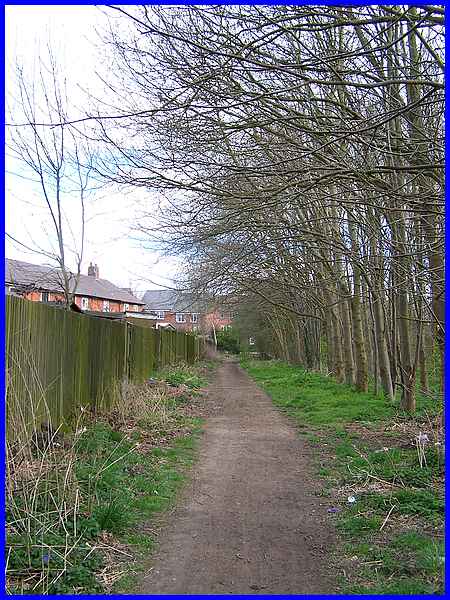
This path runs with trees on the right and is behind Rose Crescent
on the left. Ahead can be seen some new properties on a small
estate off Heanor Road that have been built since we last walked
this route with the Monday Strollers Walking Group some years
ago.
|
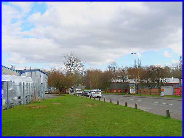
The path turns right at the new estate and soon joins with the
same path we used on the outward leg behind the Manners Industrial
Estate. From there the route returns to the Victoria Park Leisure
Centre retracing the early part of the walk past the Recycling
Centre and along Manners Avenue.
|
It has to be said that this is not the most picturesque of walks
but it does fulfil the requirements of a Walking For Health route
in that it is up to three miles in length over mainly flat terrain
with no stiles and it can be recommended for people with health
issues who are striving to improve their fitness levels. And
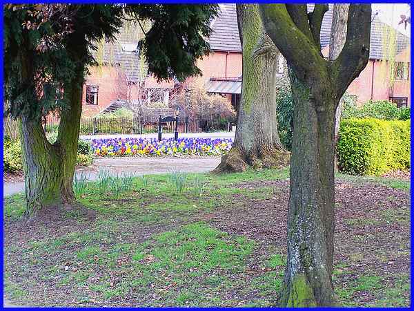
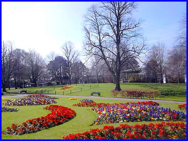
at the end of the walk there's always the opportunity to cross
the road from the Leisure Centre to enjoy the floral displays
in Victoria Park.
So here's a bonus picture of the park taken this week in the
spring sunshine.
Back to Part 01
To see a map/aerial view of the original planned route in a new
window follow this link.
|
