The Shipley Common Loop - Part 01
w/e 10 April 2016
All of this week's pictures were
taken with a Kodak DX6490
We first began walking with the Monday Strollers
Walking For Health group shortly after I had retired. We had
seen a list of walks posted on a wall in a local cafe whilst
we sat drinking coffee and although we didn't have any health
problems we joined the group for a little exercise and it gave
us a reason every Monday morning to go out and walk around the
local area. In time we became committee members and I even devised
a couple of new routes for the group to follow. Over time however
the walks became somewhat repetitive and we were getting all
the exercise we needed walking the dog every day so we left the
group and it's a number of years since we have followed some
of the regular routes. So long in fact that, as several of the
routes are in the same area, they had merged together in my memory
and I had to have a reminder from one of the walk leaders (thank
you Pat) as to the exact routes of several of the walks.
This is one of them.
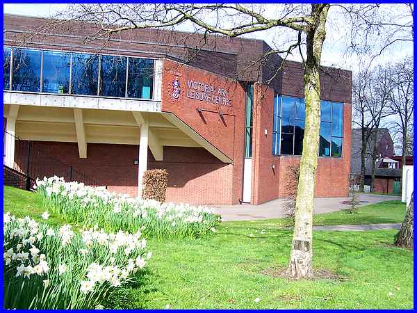
The majority of the Monday Strollers' walks begin on the forecourt
of the Victoria Park Leisure Centre. Some head off through the
park but this one goes by the side of the building, though the
car park to Manor Road.
|
  A left turn
takes it up Manor Road to its junction with Manners Road (left)
where a right turn takes it into the Manners Industrial Estate.
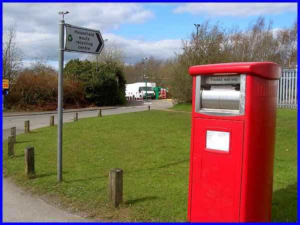
After a couple of hundred yards a big red post box and a sign
to the Recycling Centre mark the point where the route leaves
the industrial estate to pick up a public footpath (right) which
we follow to Shipley View housing estate. A left turn
takes it up Manor Road to its junction with Manners Road (left)
where a right turn takes it into the Manners Industrial Estate.
After a couple of hundred yards a big red post box and a sign
to the Recycling Centre mark the point where the route leaves
the industrial estate to pick up a public footpath (right) which
we follow to Shipley View housing estate.
|
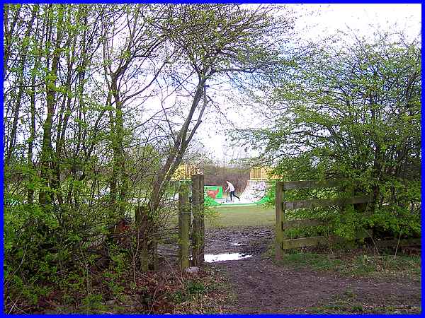
The path skirts round the north east side of the industrial estate
and soon passes to the south and west of the Manners Playing
Fields and Skate Park. The return part of the route passes to
the north east of the playing fields from where the Skate Park
can be seen in the distance.
|
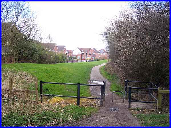
At the south eastern corner of the playing fields another path
leads off into the Shipley View Estate and this is the one we
follow on this walk.
|
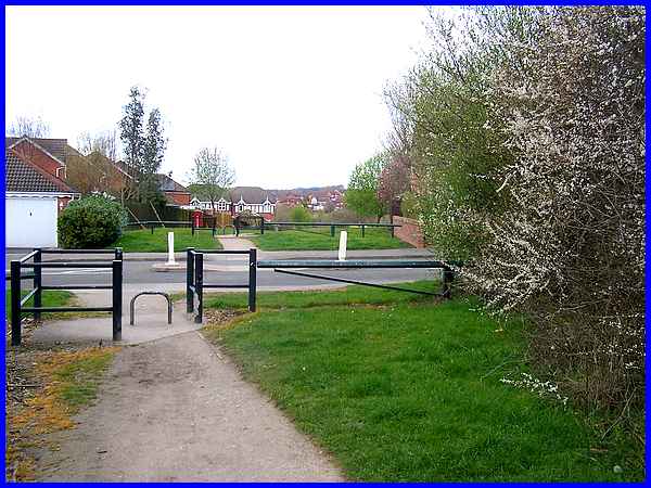
The route crosses Mason Road to pick up the continuation of the
path on the other side.
|
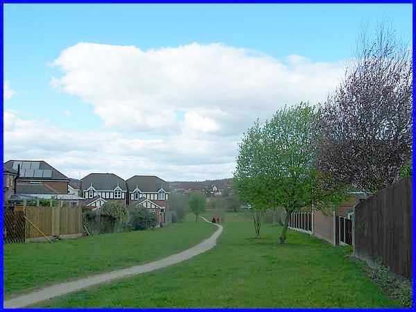
Gently sloping downhill, the path and the grass verges form a
green artery through the estate. Using the same analogy, if the
greenway on the outward leg of the route is an artery, the return
half of the walk though jittys and alleyways which we will see
in Part 02 can be likened to the veins of the estate.
|
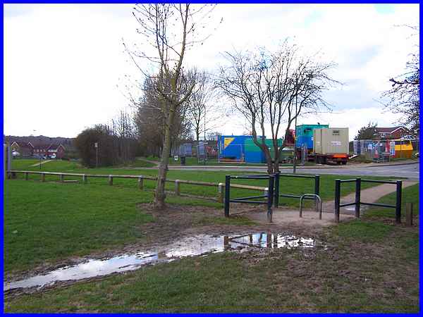
At the bottom of the slope we encountered a muddy patch which
brought back memories of the times we had walked this route with
the Strollers. It always seems to be wet here! Something that
we were not expecting though was the building site on the green
on the other side of Barling Drive. The designated route however
was to the left of the site by the side of the hedge.
|
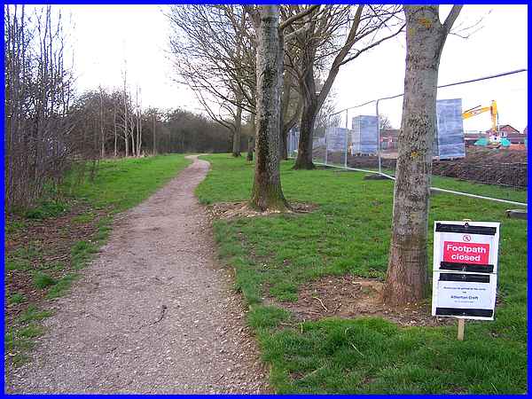
When we reached there though we had another surprise. The footpath
was closed and with it our access to the Nutbrook Trail. We should
have carried on along this path to the Nutbrook Trail, turned
right and followed the Trail for a little way before regaining
the estate at Atherton Road.
|
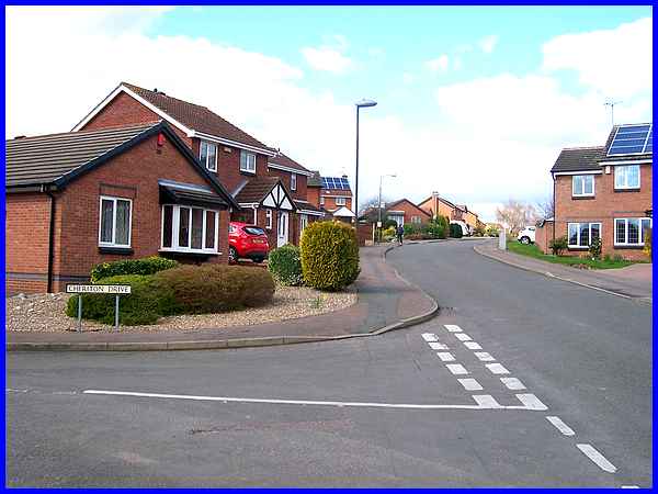
Instead we had to find an alternative route which entailed walking
along Pentridge Road and crossing Cheriton Drive and Wainfleet
Close before reaching Atherton Road. This shortened the route
slightly so instead of being about two and three quarter miles
it was probably nearer two and a half. (Walking For Health routes
are usually about three miles in length).
|
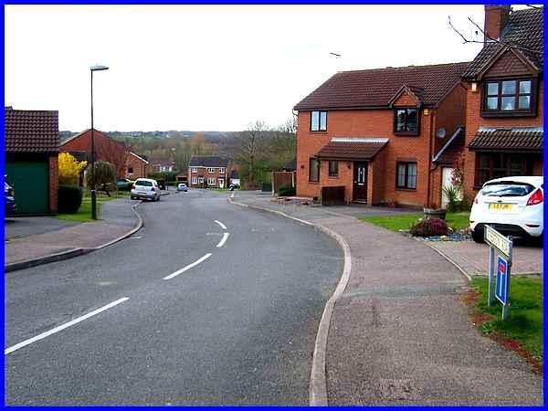
The planned route would have reached Atherton Road on a footpath
at the side of the house in the centre of this picture and then
proceeded up the pavement to reach and cross Pentridge Road and
it's from there that we'll continue in Part 02.
Forward to Part 02
To see a map/aerial view of the original planned route in a new
window follow this link.
|

