West Hallam Walk No. 3 - Part 02
w/e 13 July 2014
All of this week's pictures were
taken with a Kodak DX6490
The first half of this walk was along the Centenary
Way and along a route that was quite familiar to us. The return
to the centre of West Hallam Village though was along what I
was tempted to call "unchartered territory" but that
is not true as the path is clearly shown on Ordnance Survey maps.
It was however not a route we had walked previously and as we
found out, not one that was particularly well used.
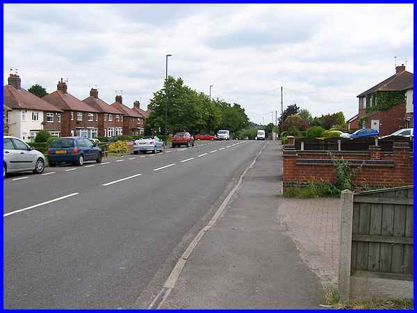
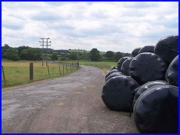
The start of the return journey was simple enough and entailed
leaving the Centenary Way and walking along High Lane East towards
Ilkeston as far as Firs Farm which is the white building seen
in the distance to the right of the white van.
|
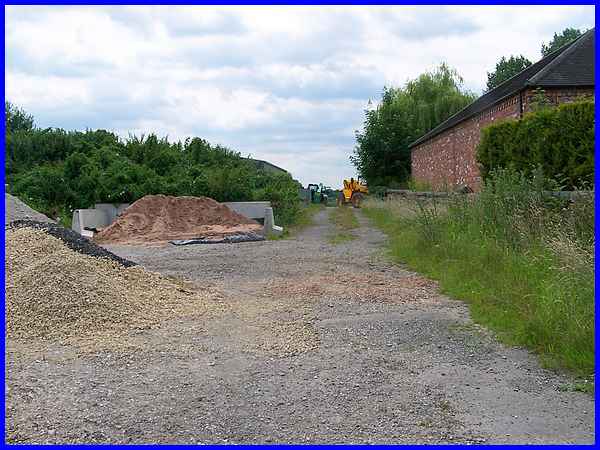
On reaching the farm the directions are to "take the track
immediately after" but we were in some doubt as to whether
this was the correct one as it was gated and also blocked by
a pallet. As chance would have it, a gentleman in a van pulled
up and confirmed that this was indeed the public right of way
and that the pallet was there merely to prevent animals from
the farm escaping on to the road.
|
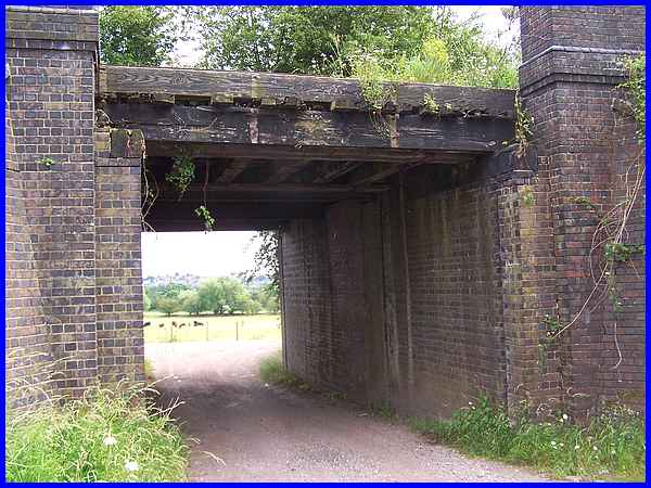
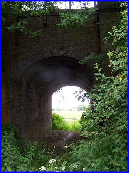
We followed the track through the farmyard to pass under an old
railway bridge. The railway line from Ilkeston to Derby also
crossed High Lane East via a bridge which was demolished after
Dr Beeching's cuts but it was not unknown for people to be directed
in the latter part of the last century with the words "Go
past the railway bridge that's been demolished and ...."
|
Turning right after passing under the bridge we followed the
farm drive looking out for a footpath marker on a telegraph pole,
which we did find but it would have been much simpler just to
say turn right where the drive splits into two.
|
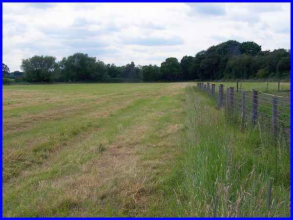
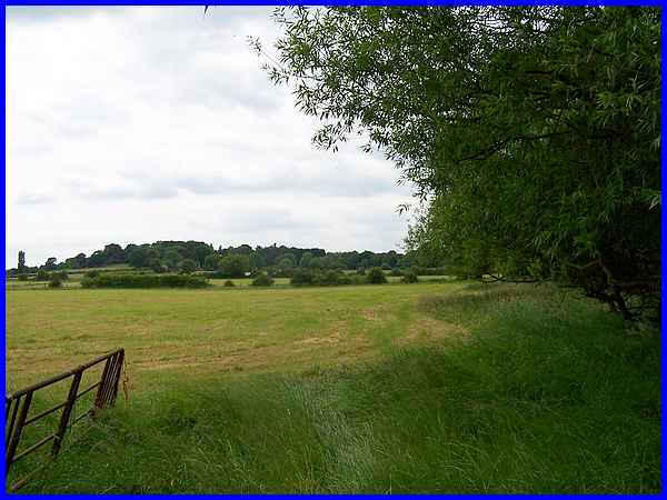
Following the right hand drive for a little way we then crossed
a stile and walked along the edge of the field to the accompaniment
of four barking dogs. Once again we were grateful to a young
lady who appeared to quell the barking dogs and who confirmed
the path went straight across the field to the far corner where
a stile would lead us to a second railway bridge and the path
back to West Hallam village.
|
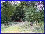  The stile was all
but obscured by brambles, nettles and waist high weeds (left)
but after carefully negotiating our way over it and through the
undergrowth, we passed under the second railway bridge. This
bridge narrower than the first one also featured an arched ceiling.
On the other side we turned left and walked along the edge of
the field (right) until we reached another stile. The stile was all
but obscured by brambles, nettles and waist high weeds (left)
but after carefully negotiating our way over it and through the
undergrowth, we passed under the second railway bridge. This
bridge narrower than the first one also featured an arched ceiling.
On the other side we turned left and walked along the edge of
the field (right) until we reached another stile.
|
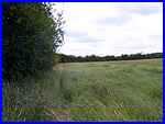
Clambering over the stile we continued now with the hedge line
on our right through the next four fields.
|
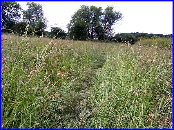
In the final field the only indication of the footpath was the
trodden down grass which indicated that at least someone had
walked this way before us. There was little else to show the
route of the footpath.
|
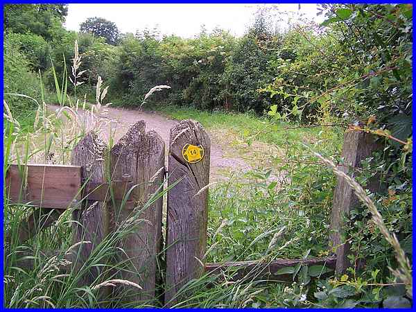
We eventually reached a corner of the field where once again
we had to find a way through the weeds, grass and brambles to
reach the stile. The waymarker on the post though showed that
this was also the route of the five and a half mile Country Walk
No. 14 called The Cat and Fiddle Trail. Crossing the stile we
reached Cinder Lane and turning left headed back up the hill
to St Wilfrid's Road. Cinder Lane of course is the track we walked
down in the outward leg of the walk and is the answer to the
question posed as to the name of the track.
|
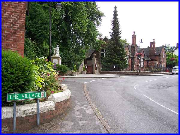
Another left turn at the end of the track took us back up the
hill, into The Village and back to the Dales Shopping Centre.
Although this is a family walk, the outward part is easy enough
but I would not recommend the return route for really young children
at this time of year although it would be ideal at other times.
To see an aerial view of the entire route of this Family Walk
click here.
|
