The Dragonfly Trail - Part 02
w/e 14 March 2010
All this week's pictures were taken
with a Kodak DX6490
Having crossed the fields behind some of the properties
in Cossall Village we begin this second part of the Dragonfly
Trail on the very edge of the built up area right in the centre
of the village which, since 1975, has been designated a conservation
area.
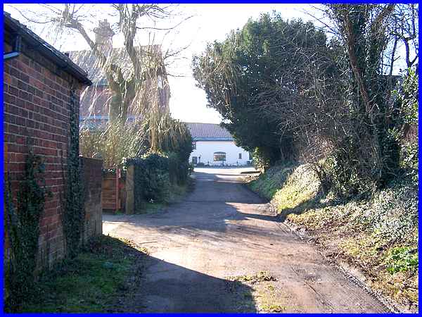
It is just a short walk up this lane to Church Lane, the main
road through the village. The building on the left at the end
of the lane is where Louie Burrows, one time betrothed of D.
H. Lawrence lived and if time is not a priority, it is probably
worth pausing in the village to explore more of its history,
a little of which was mentioned in a supplementary page to the
Monks Way series that can be seen on this page:- Cossall Village.
|
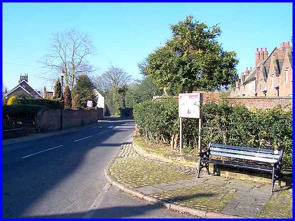
From time to time many of the residents in the village
open up their gardens and collect money for various charitable
organisations. One such event held in 2002 can be seen here and that page includes an image
of the Willoughby Almshouses which are also in this view on the
right.
|
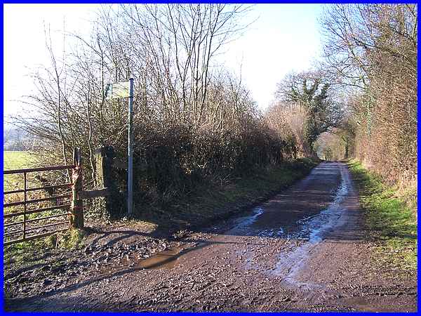
But our objective on the Dragonfly Trail is to pass along the
main road to the distant corner of Church Lane. Care has to be
taken when crossing the twisting and winding road as there is
only a footpath on one side and although it looks peaceful enough,
it is a very busy route for traffic using it to bypass Ilkeston.
|
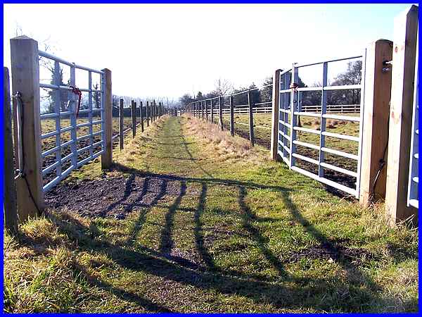
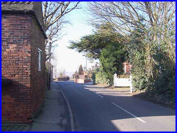
From the corner our route heads off into the countryside again
along a path bounded by fences on both sides but people of my
generation who attended the same school may well remember this
path from cross country runs (or walks in the case of my year)
before the fences were erected.
|
At the far end of the path, we cross Mill Lane seen here in the
direction of Ilkeston which again is part of the route followed
in the Monks
Way series. This time though it's over the stile and into
the field opposite.
|
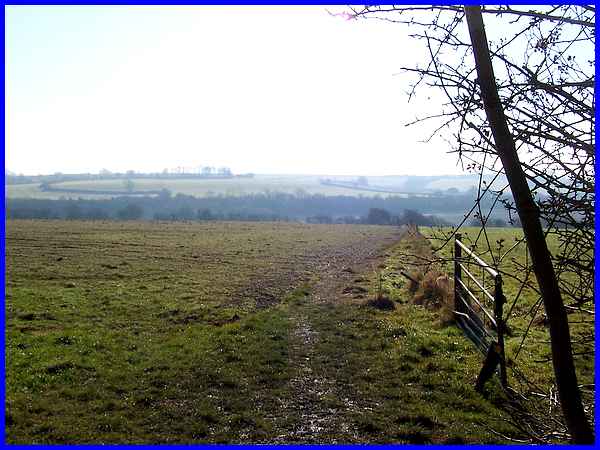
Although it was a frosty morning, by the time I had reached this
point the sun had had an effect on this south facing slope and
the path had a greasy, slippery surface. Coupled with the fact
that the post and wire fence on the right had fallen over and
strands of the wire were lying across the path this turned out
to be probably the most dangerous portion of the whole route.
My advice to anyone walking here is to cross this field with
care.
|
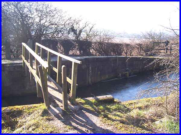
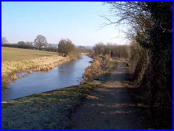
The bottom end of the field is marked by the Nottingham Canal
which is crossed by this wooden footbridge at the same position
as a former swing bridge over the canal. The Nottingham Canal
was abandoned in 1937 and any plans to reopen it have been thwarted
by open cast mining operations so that much of it is now given
over to a nature reserve. It is here along the remaining route
of the canal that the dragonflies that give their name to the
Trail are abundant during the summer months.
|
To complete the route back to the Gallows Inn Playing Field there
are two options from this point. One is a short cut across the
fields to the right which previous experience tells me to avoid
because of the cloying mud that is apt to stick to your boots
even in relatively dry periods. The second alternative is to
take the longer route along the towpath around the Robinetts
loop and if time allows explore the Robinetts Arm. For those that decide to take
the short cut, the route back to Ilkeston is the same as the
Sentimental Journey a couple of years ago and can be followed
via the following pages:
|
