The Coffin Walk - Part 04
w/e 17 June 2012
All this week's pictures were taken
with a Kodak DX6490
The name of this walk is probably a misnomer for
although it does indeed start along the Coffin Walk from Breaston
towards Church Wilne, the final stages of the route, accounting
for some 40% of the total length, are along the line of the former
Derby Canal, which accordingly should have an equal if not greater
claim to the circular walk's title.
  We
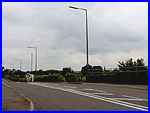
begin this fourth part at the end of Nooning Lane where it meets
Derby Road. Whilst our route is to the right towards Draycott
(right), it is easier and safer to cross Derby Road by turning
left towards Borrowash to take advantage of the pedestrian refuge
in the middle of the road (left). This is at a rise in the road
which marks the point where it rose to cross over the former
canal. We
begin this fourth part at the end of Nooning Lane where it meets
Derby Road. Whilst our route is to the right towards Draycott
(right), it is easier and safer to cross Derby Road by turning
left towards Borrowash to take advantage of the pedestrian refuge
in the middle of the road (left). This is at a rise in the road
which marks the point where it rose to cross over the former
canal.
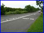
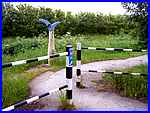
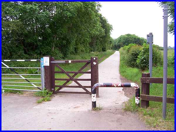
Once across Derby Road and heading towards Draycott, the entrance
to the canal towpath is well marked by a railing at the edge
of the road and signs pointing to the foot and cycle path.
|
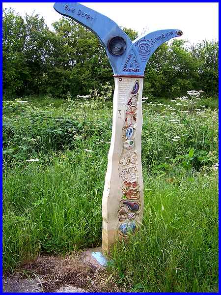
 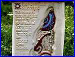 And more signage just inside the entrance
(left) indicates that this is Route No. 6 in the National Cycle
Network. The decorated post is also marked "Millennium
Project" and supported by National Lottery Funds. Another
inscription (right) reads "This is one of 1000 mileposts
funded by the Royal Bank of Scotland to mark the creation of
the National Cycle Network." And more signage just inside the entrance
(left) indicates that this is Route No. 6 in the National Cycle
Network. The decorated post is also marked "Millennium
Project" and supported by National Lottery Funds. Another
inscription (right) reads "This is one of 1000 mileposts
funded by the Royal Bank of Scotland to mark the creation of
the National Cycle Network."
|
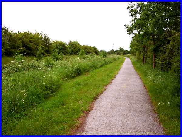
Initially the path and canal route run parallel to Derby Road
and old maps show this section as being a wharf so presumably
it was the location of one of the places where cargo which in
the main was coal, could be transferred to and from the narrow
boats or barges.
|
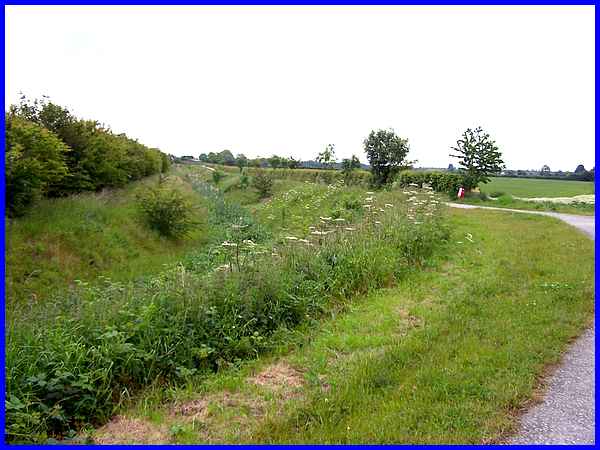
The canal route then turns and runs diagonally across country
between Derby Road and Hopwell Road. The Derby and Sandiacre
Canal Society are successfully campaigning and working to get
the canal restored and although most of the route has been filled
in, this section has been dug out again as part of a flood alleviation
scheme. It doesn't take a great deal of imagination to see the
canal again full of water and narrow boats floating sedately
along its length when seen from the corner.
|
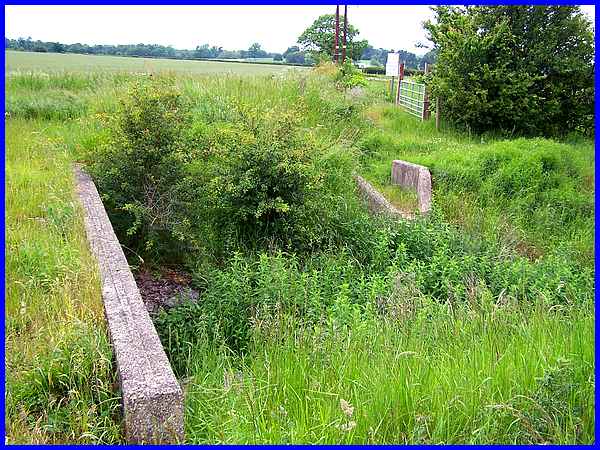
But there are still many obstacles to be overcome not least the
creation of bridges such as here where a farm track crosses the
canal midway along this straight run. The Trust are working towards
a 20 year target which makes the canal's original construction
even more remarkable. It was a testimony to the men who worked
on the canal for the whole 14½ mile length from the Trent
and Mersey Canal at Swarkestone to Derby and Little Eaton, including
this section to the Erewash Canal at Sandiacre. It was fully
completed in 1796 after its authorisation by an Act of Parliament
only three years earlier.
|
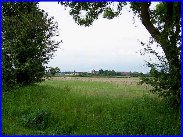
Our route from Breaston took us through the southern edge of
Draycott but having continued up Nooning Lane we are now passing
to the north west of the village. Through a gap in the hedge
where the farm track crosses the canal a view across the flat
landscape towards Draycott again shows the prominence of the
former Victoria Mills factory in the village. And further on
smoke and steam can be seen rising from the chimneys and cooling
towers at the Ratcliffe on Soar Power Station.
|
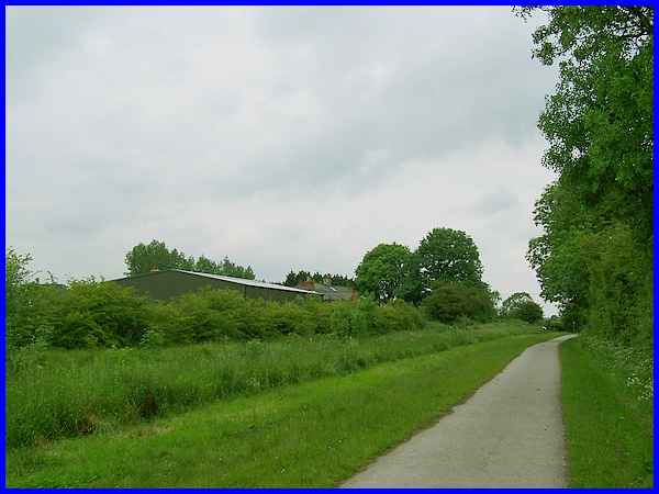
But most of the views along this section of the walk are very
similar with the canal to the left of path. Nearing Hopwell Road
however, a large building beyond the canal betrays the location
of Fields Farm.
|
Although coal was the main cargo carried on the canal, corn and
stone were also carried along with something that eventually
led to the decline of the canal. That something was rails and
it was the railway network that eventually became the preferred
mode of transport for much of the canal's former trade. It was
not until 1964 however that the canal was finally abandoned much
of it being filled in. The aforementioned Canal Trust who plan
to restore the canal will have to overcome another obstacle here
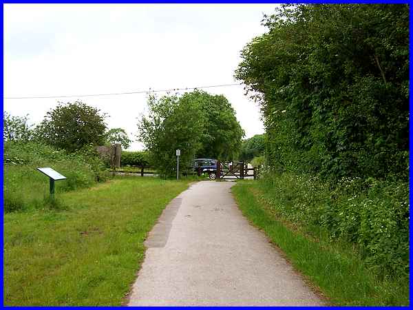
where the road crosses at the same level but an information board
near the crossing not only details some of the canal's history
but also plans for the future. For more information visit the
Derby
and Sandiacre Canal Society website.
|
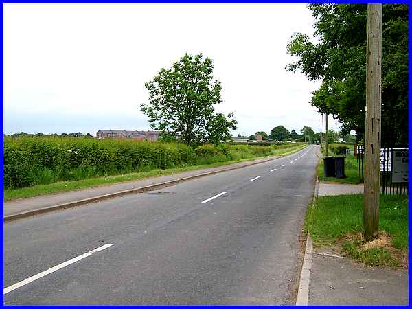
The road which crosses the canal is Hopwell Road and leads directly
into the centre of Draycott.
|
Our route though back to Breaston is to continue along the canal
route via the footpath and cycle way. The canal is less obvious
here but a prominent sign indicates that this is still the National
Cycle Route No. 6. We'll return here for the fifth and final
part of the Coffin Walk.
|
