The Coffin Walk - Part 05
w/e 15 July 2012
All this week's pictures were taken
with a Kodak DX6490
The final mile or so of this walk is mainly along
the route of the old Derby Canal and warrants little more than
a sentence in either of the leaflets that describe it.
  The older of the two published in 2000
talks of crossing three stiles but since then the route has been
transformed into a multi-user trail and is part of the National
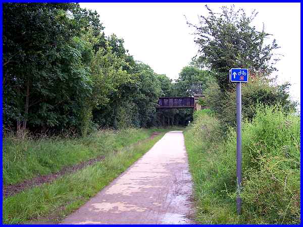
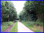
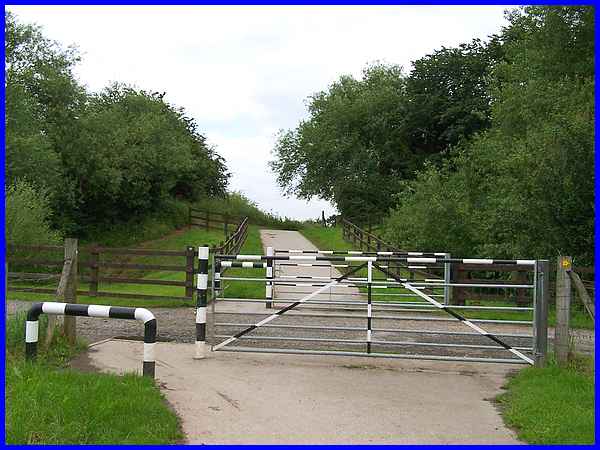
Cycle Route No. 6. Picking up the route at Hopwell Road, a surfaced
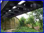
path heads between the trees (left) and is soon crossed by what
at first glance appears to be a bridge (above). This is in fact
an aqueduct (right) that carried the pipes over the canal. The older of the two published in 2000
talks of crossing three stiles but since then the route has been
transformed into a multi-user trail and is part of the National
Cycle Route No. 6. Picking up the route at Hopwell Road, a surfaced
path heads between the trees (left) and is soon crossed by what
at first glance appears to be a bridge (above). This is in fact
an aqueduct (right) that carried the pipes over the canal.
|
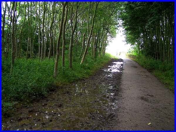
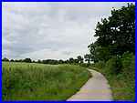
Both leaflets add that the route passes between tree plantations
and these are now well established. In parts the full summer
leaf makes the trail quite dark and tunnel-like. The heavy rain
of recent weeks producing the wettest June on record has reduced
the ground at the side of the path into a quagmire.
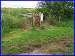  Near
the end of the trees the long distant footpath, the Midshires
Way, joins the multi-user path from the south (left) but leaves
again (right) to continue its journey northwards in less than
a hundred yards. I ventured off the path here across the waterlogged
ground to read the notice on the fencepost which advises of a
short but permanent diversion to the Midshires Way. Near
the end of the trees the long distant footpath, the Midshires
Way, joins the multi-user path from the south (left) but leaves
again (right) to continue its journey northwards in less than
a hundred yards. I ventured off the path here across the waterlogged
ground to read the notice on the fencepost which advises of a
short but permanent diversion to the Midshires Way.
|
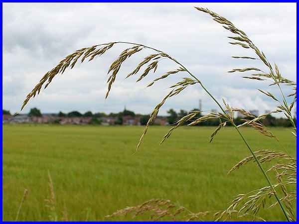
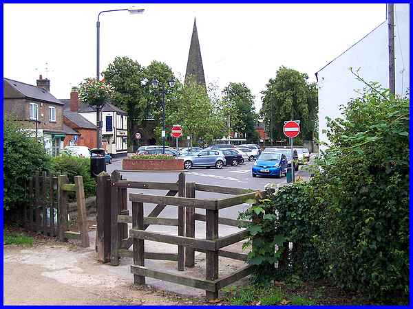
Once out of the trees the landscape opens up and over the crop
fields and our ultimate objective in this walk, the spire of
St Michael's Church at Breaston, is visible in the distance.
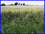
The ever present Ratcliffe on Soar Power Station is a constant
feature on the horizon and is seen here through the tall grasses
at the side of the path.
|
  To the north the landscape rises slightly
and a solitary white building across the fields is Cottage Farm
(left). Cycle Route 6 though continues along the Derby Canal
route (right) and across the access track (above) to Cottage
Farm. This is the point though where we leave the old canal to
turn right and head in the direction of the yellow arrow on the
fence to follow the access track back into Breaston. To the north the landscape rises slightly
and a solitary white building across the fields is Cottage Farm
(left). Cycle Route 6 though continues along the Derby Canal
route (right) and across the access track (above) to Cottage
Farm. This is the point though where we leave the old canal to
turn right and head in the direction of the yellow arrow on the
fence to follow the access track back into Breaston.
|
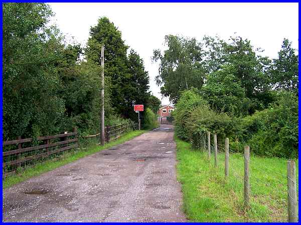
The Cottage Farm access track leads into a small housing estate
and on to Holmes Road.
|
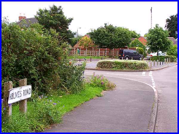
Continuing along Holmes Road from the track soon leads to a small
triangle of roads and opposite a footpath (entrance to path can
be seen between the parked van and car) runs alongside the fence
to a small park.
|
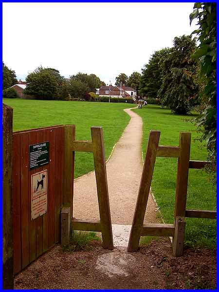
The park is a two and a half acre site known as Duffield Close
and is a pleasant open area right in the middle of the village.
To return to the starting point is just a matter of following
the footpath directly ahead.
|
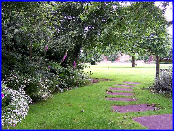
It is worth pausing in the park however to explore two small
gardens on the side nearest the centre of the village.The first
in one corner of the park is the Butterfly Garden. An information
board nearby gives details and information about both butterflies
and plants.
|
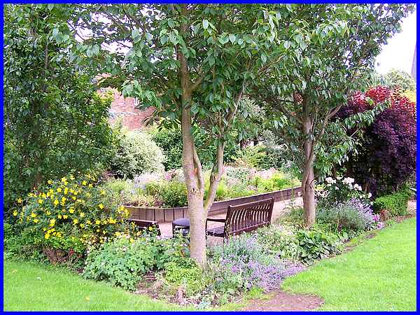
In the opposite corner is the Millennium Sensory Garden and here
there are seats where it is possible to sit and enjoy all the
sights and scents of the plants and flowers.
|
The exit from Duffield Close leads directly back to The Green
and our starting point near St Michael's Church. The route we
have covered in five easy stages measures about five and a quarter
miles and to see an aerial view of the whole route click here.
|
