The Walk In The Clouds - Part 02
w/e 05 September 2010
All this week's pictures were taken
with a Kodak DX6490
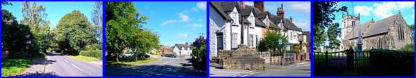
Resuming the "Walk In The Clouds" on Quarry Hill, the
route takes us through Stanton By Dale where a right turn into
Stanhope Street leads past the village cross dating from 1632,
the Stanhope Arms, the village pump that was erected in 1897
and then up to St Michael and All Angel's Church (13th century).
For a more detailed look at the village see the Stanton By Dale Village Trail that we followed
in 2003 but for now we'll continue our walk from the church.
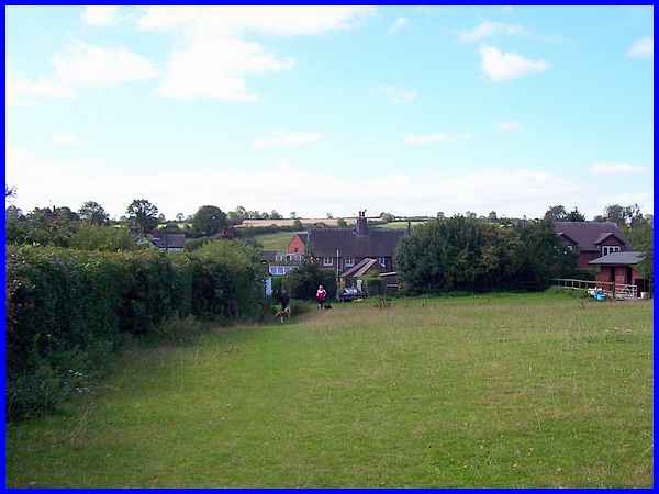
 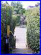 The path up to the church continues through
the churchyard to a gate in the wall (left) that leads into a
field beyond. The leaflet that describes the route says to bear
left and cross the field heading for the kissing gate by the
holly in the hedge. Once through it the path passes through another
field (above) to the rear of the houses on Dale Road. A couple
of horses were grazing but were unmoved by our presence so we
continued through a narrow passageway to drop down by a flight
of steps (right) to Dale Road. The path up to the church continues through
the churchyard to a gate in the wall (left) that leads into a
field beyond. The leaflet that describes the route says to bear
left and cross the field heading for the kissing gate by the
holly in the hedge. Once through it the path passes through another
field (above) to the rear of the houses on Dale Road. A couple
of horses were grazing but were unmoved by our presence so we
continued through a narrow passageway to drop down by a flight
of steps (right) to Dale Road.
|
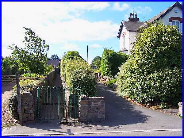
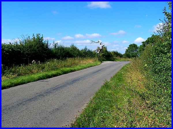
Diagonally across Dale Road another kissing gate guards the entrance
to a narrow passage but an adjacent "Public Footpath"
sign points us in the correct direction.
|
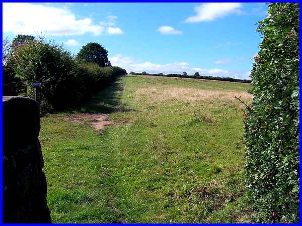
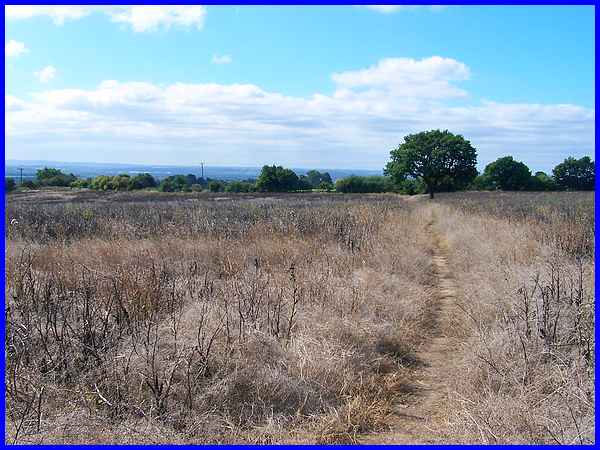
At the end of the passage the footpath continues along the hedge
line and uphill across three more fields not only to the highest
point of the walk but also one of the highest points in the area
around Ilkeston. It also gives credence to the walk's title being
another reason in addition to the route through Stoney Clouds
at Sandiacre.
|
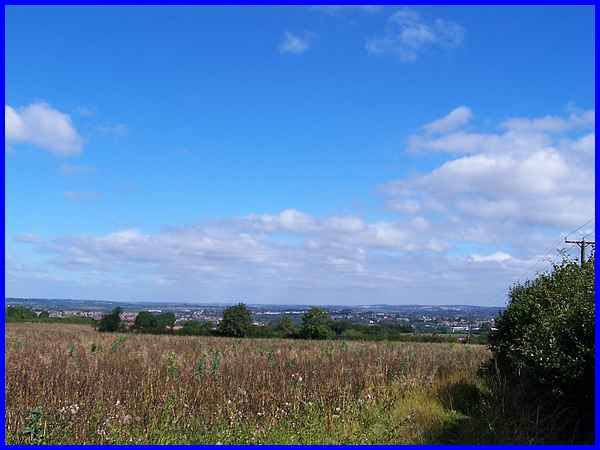
It's worth turning round at the top of the incline to survey
the landscape across and along the Erewash Valley. This is the
view over Stanton By Dale to Ilkeston and beyond but the valley
continues to the left and the north where the high ground at
Crich and
Alport
Heights some ten or twelve miles away can easily be seen.
|
Emerging from the fields at 1641 feet above sea level we now
need to cross No Man' s Lane to pick up another footpath that
starts at the dead oak tree on the other side to continue across
another field.
|
The path runs past a solitary tree in the middle of the field
and right through the middle of a crop of what appeared to be
bean plants. It is usual to leave the plants to die before harvesting.
Compare this view with another in the opposite direction from
when we visited the same area around No Man's Lane back in October 2005.
|
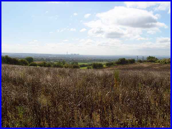
The views from this side of No Man's Lane are to the south and
across the Trent Valley the main object that draws the eye being
the Power Station at Ratcliffe on Soar which is reputed to be
one of the most efficient coal fired power stations in the UK.
The East Midlands Airport at Castle Donington and Charnwood Forest
are also visible in this direction.
|
The path leads to a gap in the hedge where we meet the second
golf course on this walk with the route across marked once again
by a series of white posts. This is the Maywood Golf Course and
the warning sign on the left advises walkers to make sure that
the golfers are aware of their presence.
|
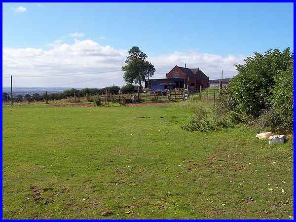
After safely negotiating the golf course we continued across
another field of dead crops and climbed a stile to approach Risley
Lodge Farm.
|
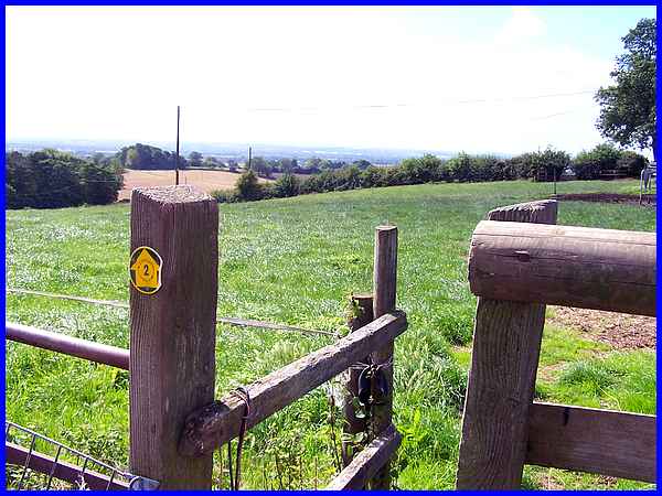
Climbing another stile at the farm confirms we are still on track
by the circular number 2 marker. The number refers to the leaflet
that describes the walk so skirting around the farm we now head
for a bridleway to start the descent into Risley and return to
Sandiacre.
|
