Stanton By Dale - Part 4 - Dale Road
w/e 06 July 2003

For the information about Stanton By Dale I am indebted to my wife Sandra who conducted much of the research, the staff at Ilkeston Library for help with archived material and the Erewash Groundwork Trust who provided an excellent leaflet packed with information.
Cottages

We resume our stroll around Stanton By Dale outside the Wesleyan Chapel of 1860 on Dale Road. The row of red-bricked, slate-roofed cottages next to the chapel are even older than the chapel as they appeared on the Tithe Map of 1844.
The Chequers Inn

The cottage at the opposite end of the row to the chapel has been converted into a public house and goes by the name of The Chequers Inn. The inn sign (inset) depicts a game of chequers in progress.
Dale Road

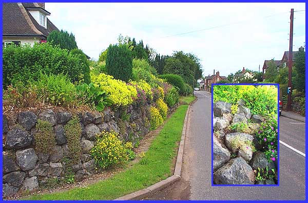
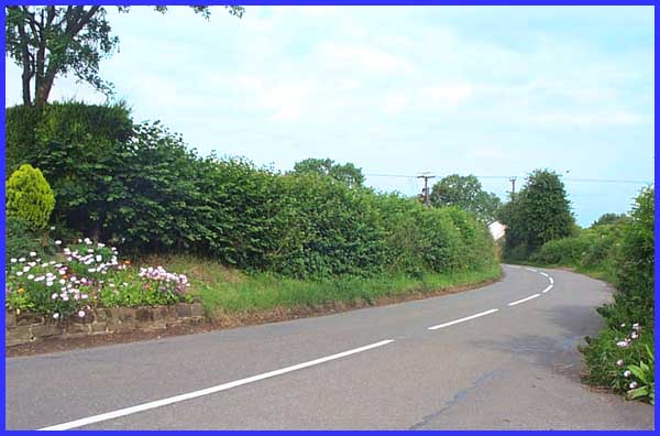
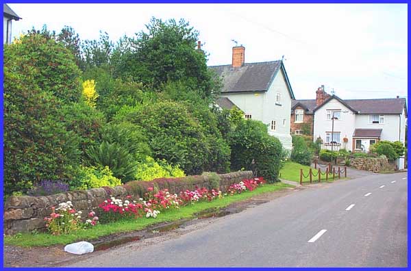
Across the road bedding plants and well manicured grass add much to the ambience of Dale Road.
Slag Wall

Further along, a wall made from slag, a waste product of iron making, is a reminder of the area's past. Waste product it may have been but it provides an ideal base for many rockery plants.
This Way To Dale

The Erewash Groundwork Trust's leaflet describes Dale Road as a "sunken lane". The lane continues here from the end of the village to reach in a mile or so, the remains of the Abbey and the village at Dale.
Cat Crossing

Turning to retrace our steps to the centre of the village, a sign that I don't think you will find in the Highway Code warns motorists and pedestrians alike of a feline proximity. Now I've heard of zebra crossings, pelican crossings and even panda crossings but this is the first cat crossing I've seen!

 Back toPart 3
 Forward to Part 5

Home Page
Stanton By Dale Index
Special Features Index

Terms & Conditions of Use
This website is copyright but licensed under a Creative Commons Attribution-NonCommercial-ShareAlike 2.0 Licence.
Please credit the photographer Garth Newton, or add a link to these pages.