Latest Images
The Water Tower Walk - Part 02
w/e 21 February 2016
All of this week's pictures were
taken with a Kodak DX6490
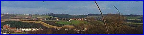
My quest to find a route from Ilkeston to Swingate on surfaced
paths, lanes and farm tracks had gone without a problem as I
walked from Potter's Lock on the Erewash Canal (bottom right
of the image above) past Cossall Village (centre) and I was almost
within sight of the Water Tower (left) as I headed towards Swingate
Farm on the farm track from Strelley Park Farm. But then ....
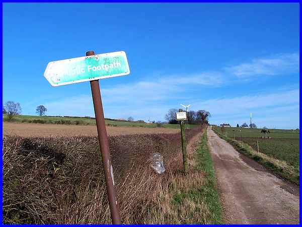
I came to two signs at the side of the track. The second one
said that access was only allowed with permission. There was
no indication as to who would give permission or from where it
could be obtained so I had a bit of a dilemma. Did I ignore the
sign and risk the ire of some angry landowner or should I retrace
my steps back to Ilkeston? Finding another route on surfaced
paths would involve a long detour so the only other option was
to follow the route indicated by the public footpath sign.
|
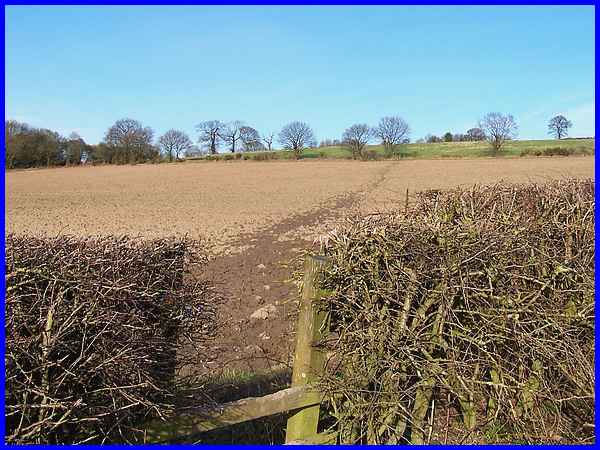
And that meant foregoing my original quest and taking to the
fields instead. The path across the ploughed field didn't look
too inviting but after carefully negotiating the muddy patch
near to the stile, the rest of it wasn't that bad. There had
been a frost overnight which had left the top surface sticky
and slippy and I'm sure if anyone had seen me picking the best
route across the field they would have likened me to Bambi on
ice. The path continued across the next grassy field in the same
direction for about twice the distance of the ploughed field
and here too I had to negotiate several squelchy patches on the
steady climb up to Swingate.
|
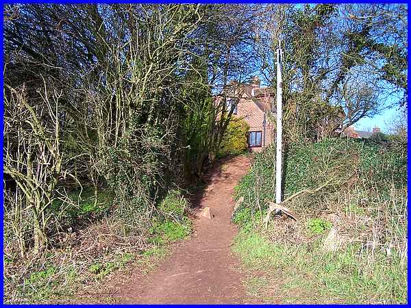
At the far end of the grassy field, it looked as though I would
have to scramble up a steep bank but the official path at the
signpost is to the left between the trees.
|
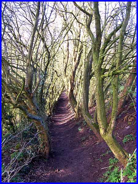
This is only a short and narrow path with the tree trunks squeezing
in from each side.
|
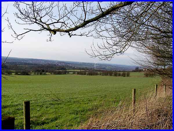
A gap in the trees however provided a good view over the Erewash
Valley and another wind turbine. This is the one at Newthorpe
Sewage Works which is called Windy Winston after it was named
as such by children from a local school.
|
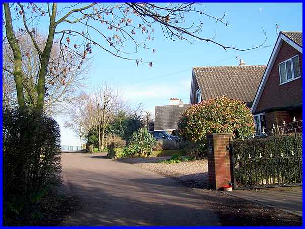
A right turn at the end of the path took me up and along Babbington
Lane into Swingate.
|
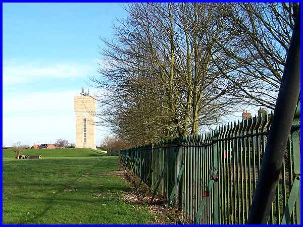
Reaching the boundary fence - Babbington Lane is to the right
of it - gave me the first close up view of the water Tower although
the fine weather cloud behind made it difficult to distinguish
its outline.
|
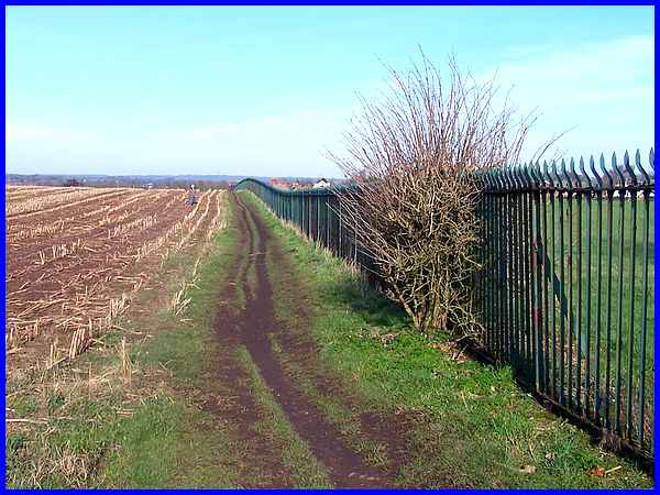
I could have continued along Babbington Lane to pick up my original
intended route and the bus terminus but having long since abandoned
my quest to keep to surfaced paths, I continued along another
sticky path by the side of the boundary fence and headed down
the hill into Kimberly.
|
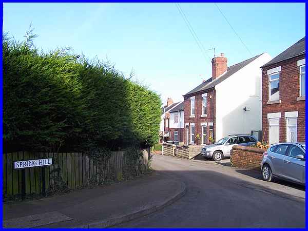
This brought me out on Spring Hill where I then walked down Little
Lane.
|
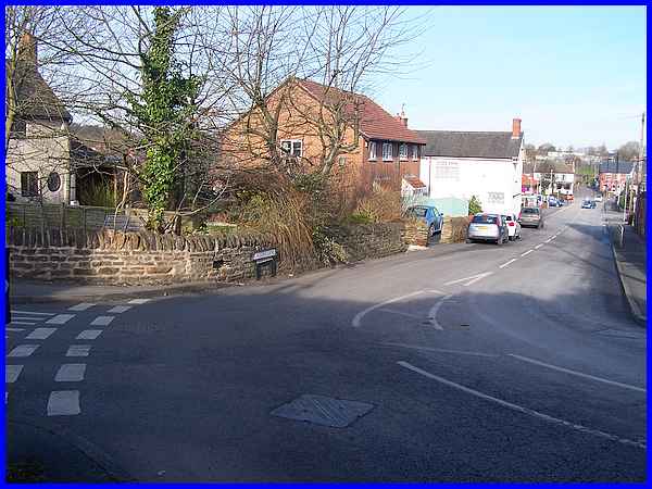
A left turn at the end of Little Lane, down High Street over
the A610 bridge and I was soon at the sharp corner leading into
Greens Lane. As I approached the corner the bus passed me going
up the hill to Swingate. It would turn round there and then come
back down again on the return journey to Ilkeston so by the time
I had walked down to the bus stop I only had to wait a couple
of minutes for my ride back. The walk hadn't gone entirely to
plan but it was nonetheless enjoyable for that. Fine weather,
the sun on my back, some lovely views and oh! I nearly forgot
to mention, good music all the way courtesy on my mp3 player.
What more could a man want on a lovely winter's afternoon walk?
Click
here to see a map of the actual (not the planned) route walked.
|
