The Water Tower Walk - Part 01
w/e 14 February 2016
All of this week's pictures were
taken with a Kodak DX6490
When chatting with a friend recently about local
walks he mentioned a route he had followed from Swingate to Ilkeston
calling at Babbington where he was able to enjoy a reasonably
priced cup of tea. He had caught a bus to Swingate and the obvious
advantage of the route back to Ilkeston in addition to the drink
was of course it was mainly downhill. The disadvantage at this
time of year was the field paths which were likely to be muddy.
I determined to try and find a similar route between Ilkeston
and Swingate that stuck mainly to bridle paths and farm tracks
and after studying maps and satellite images came up with such
a route that avoided using the public footpaths across fields.
I decided to walk in the opposite direction to my friend despite
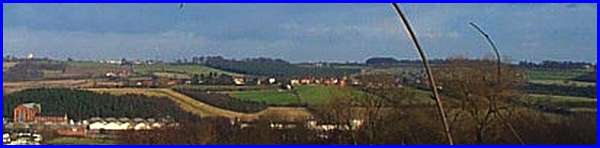
it being uphill but it meant the sun was at my back. The above
image taken from the Erewash Museum gardens some time ago shows
much of the route beginning at the bottom right hand corner on
the Erewash Canal, passing Cossall Village in the centre to the
water tower at Swingate on the horizon at the far left.
I began the walk proper at Potter's Lock on the Erewash Canal
which can be approached from several directions either along
the towpaths or directly from the Larklands area of Ilkeston.
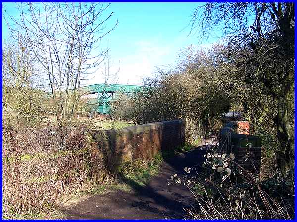
Crossing the bridge over the adjacent River Erewash I followed
the path to climb the ugly green footbridge over the railway
line.
|
From the railway bridge the uphill path that is Mill Lane can
be seen rising to the Nottingham Canal and then on to Cossall
Village. This is a path walked many times before. (See "Ilkeston
To Cossall" in the Sentimental
Journeys section or even "The Other Side Of The Tracks"
under Miscellaneous
Walks).
|
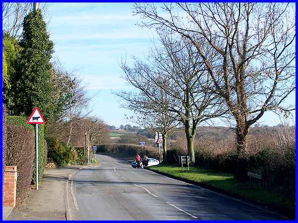
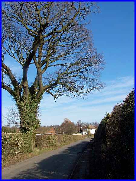
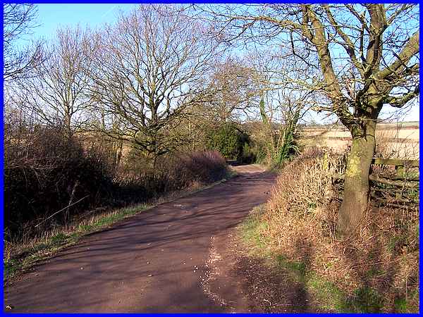
In Cossall Village the road sign on the right indicates where
Mill Lane changes to become Robinettes Lane. The road off on
the right where the car is emerging behind the walkers with the
horse is Dead Lane to Trowell but the route for this walk is
straight ahead along Robinettes Lane.
|
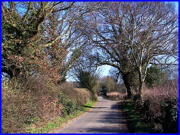
Although the route from start to finish is uphill the majority
of Robinettes Lane is fairly level and traffic along here, which
at times can be heavy through Cossall, is limited to the odd
farm or residential vehicle. There are a few houses on the left
ahead at the entrance to Grange Farm which once also served as
the access to the former Oakwood Grange Colliery.
|
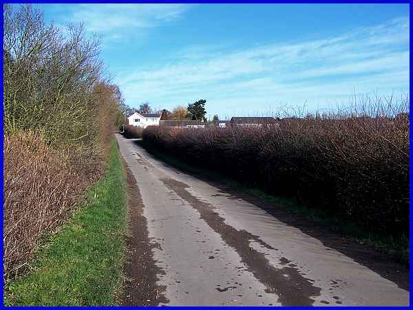
The lane then loses its footpath at the side of the road and
narrows as it continues on its way passing only another solitary
property set back on the right, Keepers Cottage.
|
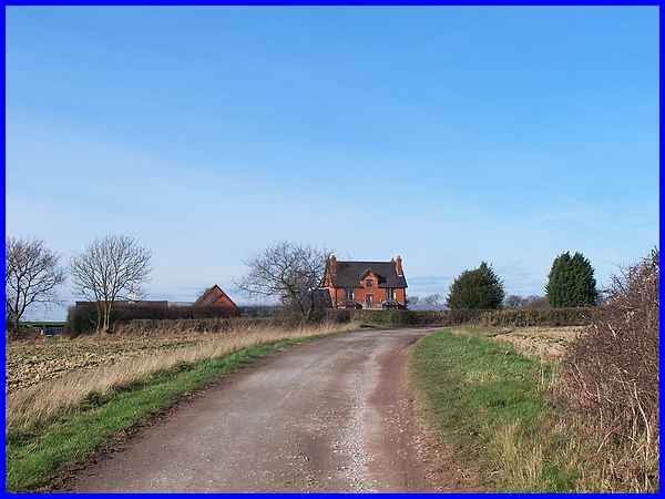
At a little over a mile from Potter's Lock at a bend in the Robinettes
Lane a footpath heads off to the right through the fields to
Strelley. It was this path I walked when we traced the steps
of The Monk's Way but then I were heading in the opposite direction
towards Ilkeston. On this walk though I ignored the path and
carried on past Holly Lodge to a T-junction.
|
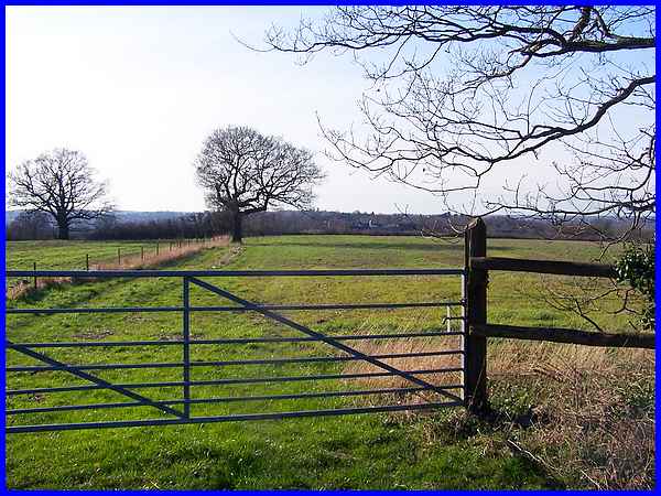
Robinettes Lane turns to the right at the junction and continues
to Strelley but I took the farm track on the left to Strelley
Park Farm. Walking along the track a little way and looking across
the fields to the left, the tower of St Mary's Church in Ilkeston
was just visible on the skyline in the centre of this picture
just to the right of the tree.
|
There's a slight dip in the farm track as it swings first to
the right and then to the left.
|
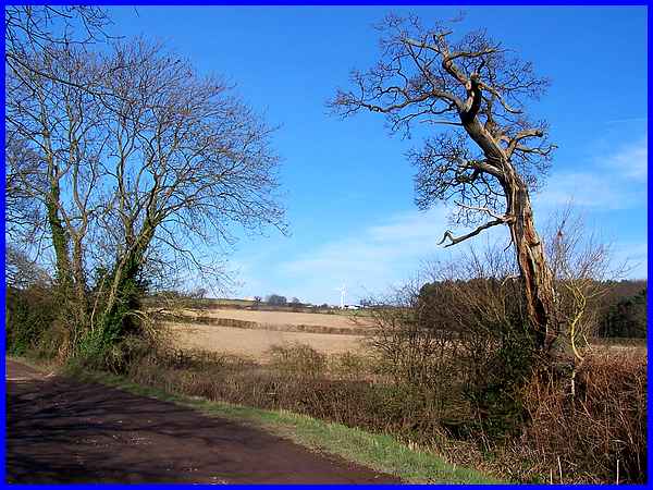
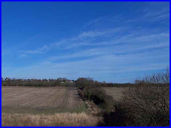
From the dip, there's a good view of a wind turbine at Swingate
Farm which is on the route I had planned. To the right of the
turbine is Spring Wood and the eagle-eyed might spot the top
of the water tower at Swingate midway between the turbine and
the tree on the left of this picture.
|
The farm track continues to Strelley Park Farm where it turns
right to Swingate Farm. A footpath to the left leads to Babbington
but I turned right towards Swingate. All was going to plan as
I continued my walk on tracks and lanes and having avoided muddy
fields so far I was on the last leg to my destination. Two miles
behind me and another one to go and apart from a few puddles
on Mill Lane I had walked on solid ground and tarmac all the
way. What could possibly go wrong? Little did I know!
|
