Trowell - Over The Boundary - Part 02
w/e 22 March 2020
All of this week's pictures were
taken with a Kodak DX6490
The second and concluding part of this walk returns
us from Trowell to the River Erewash and the boundary between
Nottinghamshire and Derbyshire.
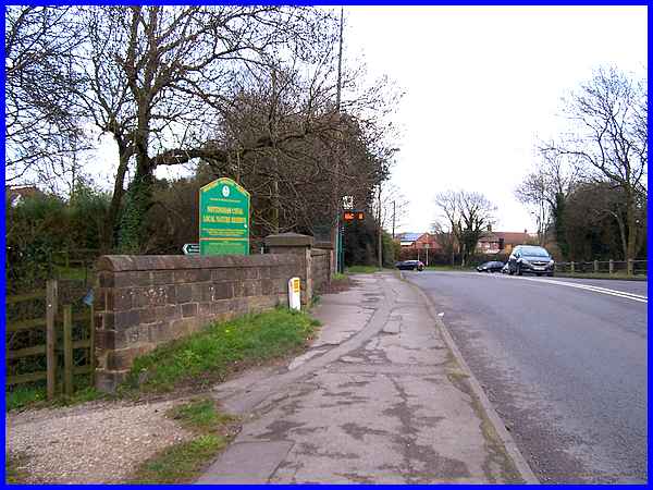
We pick up the route again at the brow of the hill on Nottingham
Road in Trowell at the bridge over the former Nottingham Canal
which is now a Nature Reserve. The road ahead drops down to pass
under the motorway bridge before rising again to Trowell Moor
and on to Nottingham but it's here that we turned left to head
back to Ilkeston.
|
From the bridge it can be seen that much of the old canal that
forms the Nature Reserve has now disappeared under the gardens
of the adjacent properties.
|
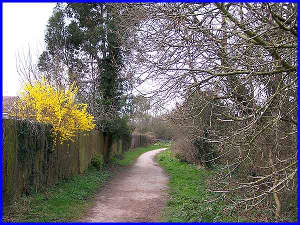
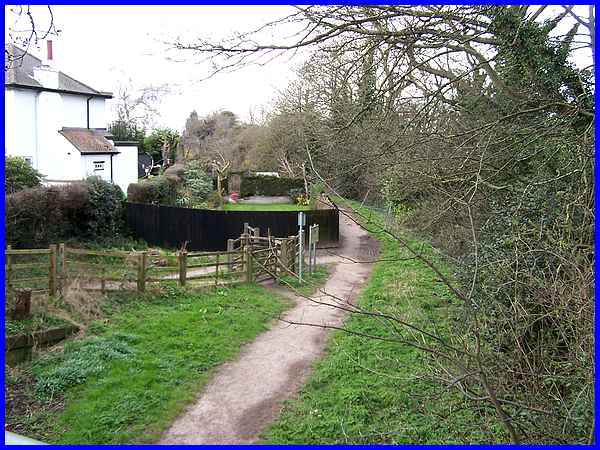
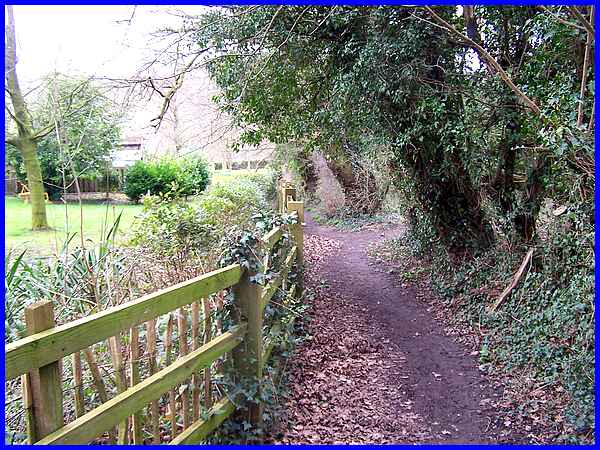
The path continues behind the houses on Hill Rise where there
is only occasional brightness in the form of forsythia flowering
over the fence.
|
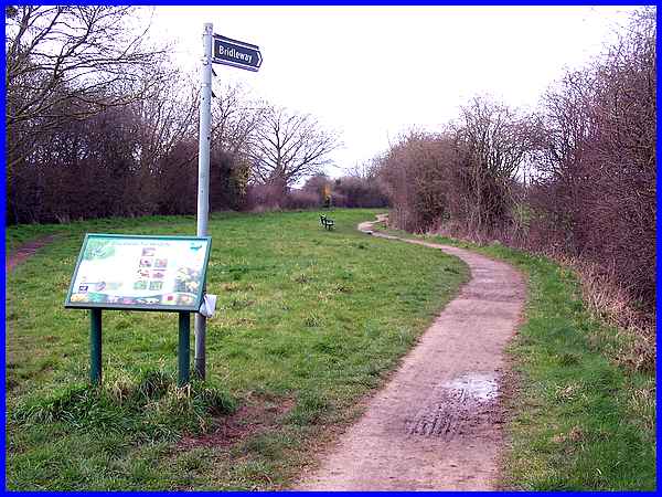
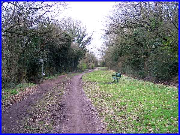
After reaching the end of Hill Rise the path splits to pass either
side of the former canal and information is provided on the board
about "Grasslands for Wildlife".
|
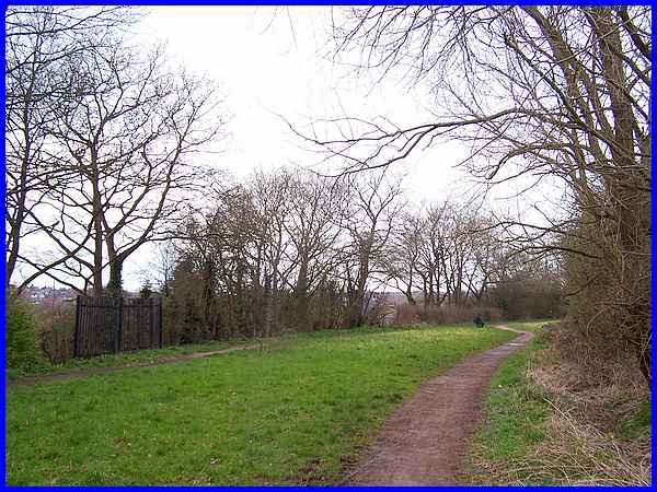
After about a quarter of a mile the two paths come together again
to continue along the route of the canal but it is not difficult
on this section to imagine the grass to be replaced by water
with working narrow boats slowly transporting coal and iron among
other goods along it.
|
Shortly afterwards a signpost on the left indicates a path down
to Stoney Lane whilst the canal path continues ahead towards
Cossall Village with Grange Wood on the right.
|
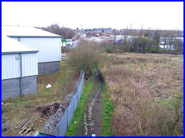
We turned left to follow the path at the side of the fence downhill
to Stoney Lane.
|

Stoney Lane is a private road leading from Ilkeston Road (to
the left) alongside the railway lines and being the access road
to Meadow Farm. Crossing Stoney Lane however, the path leads
to the footbridge over the railway.
|
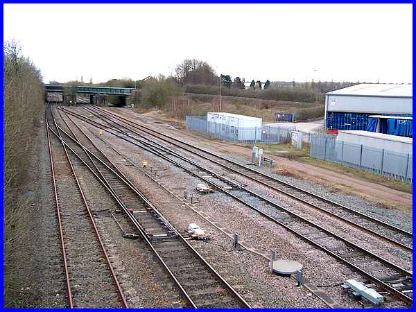
From the footbridge we can once again see the former Trowell
Station site and also the reconstructed road bridge we crossed
on the outward leg of this walk.
|
And dropping down from the footbridge it's only a short walk
along the path to reach the River Erewash denoted by the line
of trees, and the boundary between the two counties.
Back to Part 01
Route Map
|
