Trowell - Over The Boundary - Part 01
w/e 15 March 2020
All of this week's pictures were
taken with a Kodak DX6490
This two part circular walk in Trowell is only about
a mile and half in length, the first part being along a busy
road whilst the return is by a much quieter route along a pleasant
footpath on the line of the former Nottingham Canal.
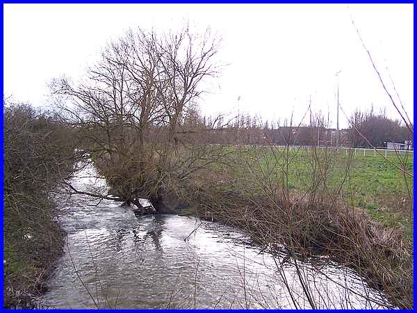
Although Ilkeston is in Derbyshire, as soon as you cross the
River Erewash at the bottom of Nottingham Road just beyond Gallows
Inn Playing Fields seen here on the right, you are also over
the boundary and into Nottinghamshire.
|
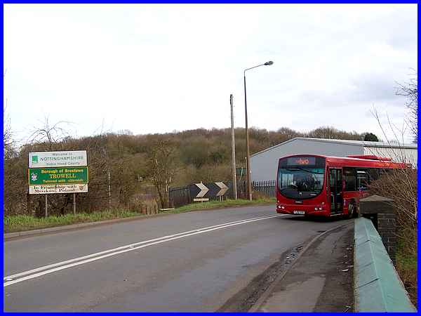
Not only are you in a different county but you are also in the
Festival Village of Trowell. Our outward route on this walk is
around the corner and along the road to the village centre but
the return back to this point will be over the railway footbridge,
which if you look carefully you will see between the telegraph
pole and the lighting column, and then emerging via a footpath
on the left of the chevrons.
|
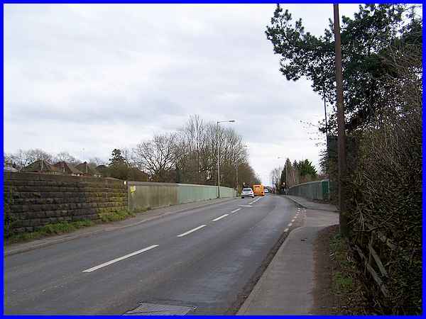
The road takes us to another bridge over the railway. The road
here was closed to vehicular traffic for about five weeks in
2004 to allow for the reconstruction of the bridge. Below are
some photos I took at that time.

Reconstruction of railway bridge 2004.
|
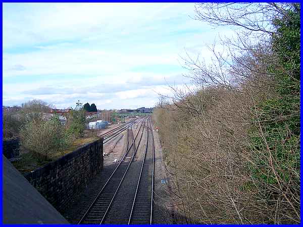
The view northwards from the railway bridge is over the site
of the former Trowell Station and in the distance is the footbridge
which is the return route.
|
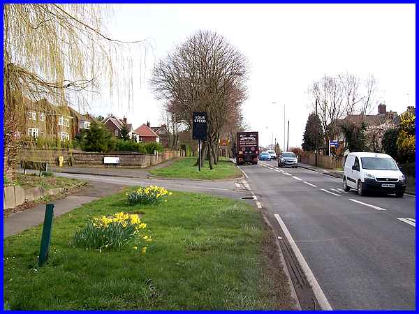
Continuing past the bridge - and the daffodils - we crossed Stoney
Lane and walked along Ilkeston Road. This is the main road between
Ilkeston and Nottingham and as such is always busy with traffic.
|
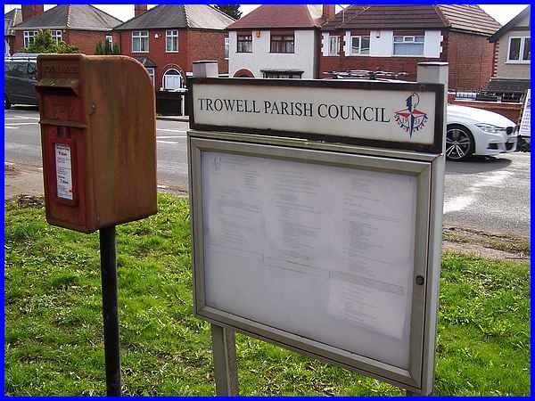
Part way along Ilkeston Road is a post box and a Trowell Parish
Council notice board. Notice the emblem at the top right of the
board, a reminder that Trowell with its mix of urban and rural
characteristics was chosen as the "Festival Village"
for the Festival of Britain in 1951.
|
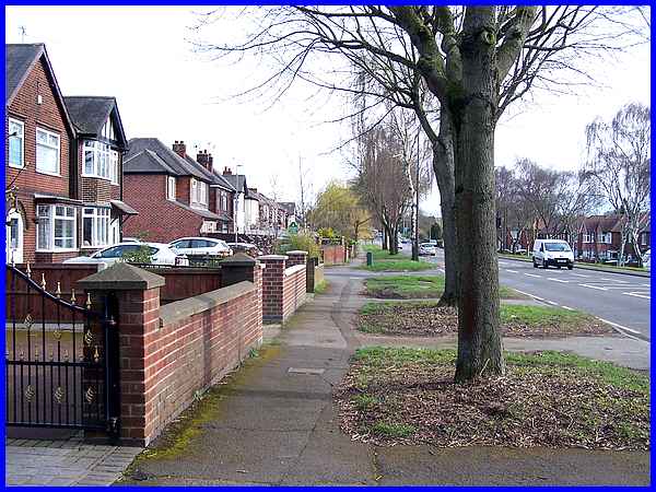
The choice of Trowell in 1951 was quite controversial as at that
time it had a backdrop of Stanton Ironworks with all the associated
air pollution. It was this combination of country and industrial
that helped it achieve the award. Now though, as seen along Ilkeston
Road, it is mainly a residential area.
|
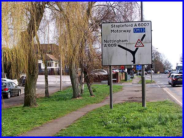
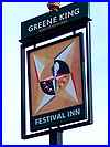 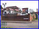 At the end of Ilkeston Road, the main road
changes to Nottingham Road as it rounds the bend whilst another
road leads off to the right to Stapleford. That road naturally
enough is called Stapleford Road. The corner site itself on the
left is occupied by the Festival Inn (left) where once again
the emblem from the national event which was held on London's
South Bank during the summer on the 100th anniversary of the
Great Exhibition of 1851, makes an appearance on the inn sign
(right), At the end of Ilkeston Road, the main road
changes to Nottingham Road as it rounds the bend whilst another
road leads off to the right to Stapleford. That road naturally
enough is called Stapleford Road. The corner site itself on the
left is occupied by the Festival Inn (left) where once again
the emblem from the national event which was held on London's
South Bank during the summer on the 100th anniversary of the
Great Exhibition of 1851, makes an appearance on the inn sign
(right),
|
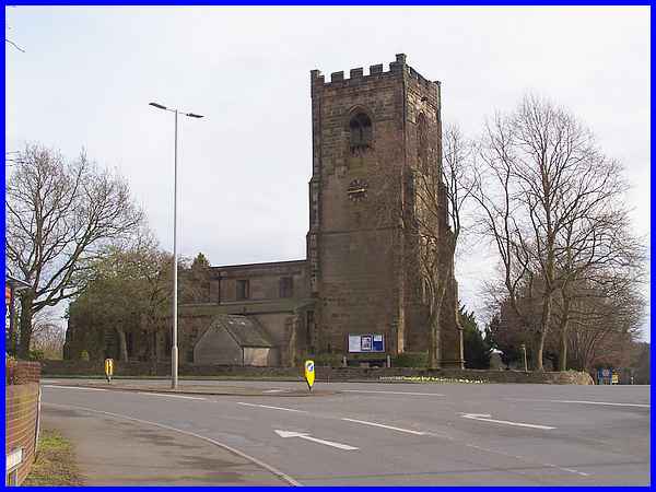
The village church, St Helen's stands on the corner of Nottingham
Road and Stapleford Road and is a Grade II* listed building.
It has a long history probably dating back some 1200 years -
for more very interesting information about the church see its website here.
|
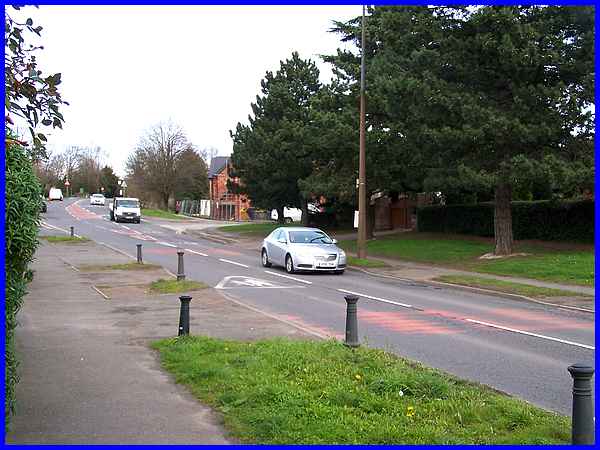
Following Nottingham Road around the corner we walked past Walkers
of Trowell, the fishing tackle specialists, and the Church Hall
and up the hill to the bridge over the former Nottingham Canal.
The canal is now a Nature Reserve and it was here we left the
road to return to Ilkeston.
Forward to Part 02
|
