Shipley Country Park
- From Mapperley - Part 02
w/e 06 September 2015
All of this week's pictures were
taken with a Kodak DX6490
At the start of the second part of this 2.5 mile
walk mainly in Shipley Country Park we are a little further along
Bell Lane heading towards Derby Lodge.
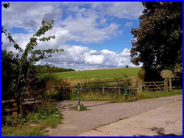
Having already passed a track towards Flat Meadow Farm we have
now reached another path on the left which, if followed without
deviating along many other paths in the park, leads directly
to the Visitor Centre.
|
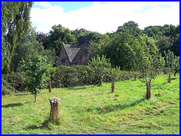
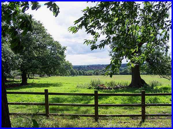
We continued along Bell Lane however but turned off to the right
into the Tom Duro Orchard just before reaching the Lodge, the
roof of which was visible over the hedge which runs along Shipley
Lane.
|
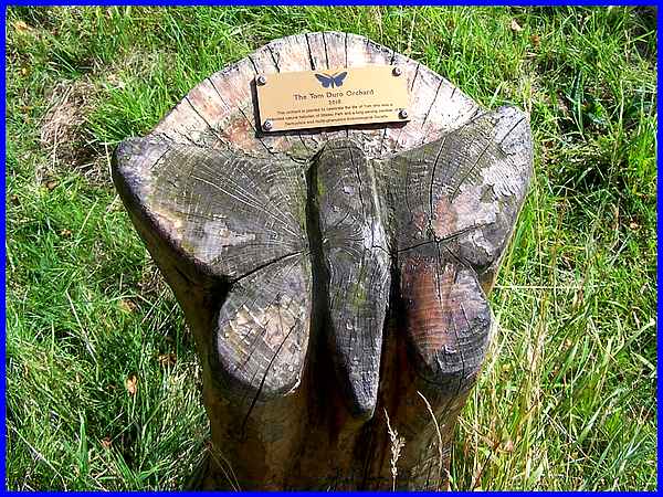
Closer inspection of the tree stump seen in the previous picture
shows that it has been carved with a butterfly design and also
bears a plaque that reads as follows:
The Tom Duro Orchard 2010
This orchard is planted to celebrate the life of Tom who was
a
dedicated natural historian of Shipley Park and a long serving
member of the
Derbyshire and Nottinghamshire Entomological Society
|
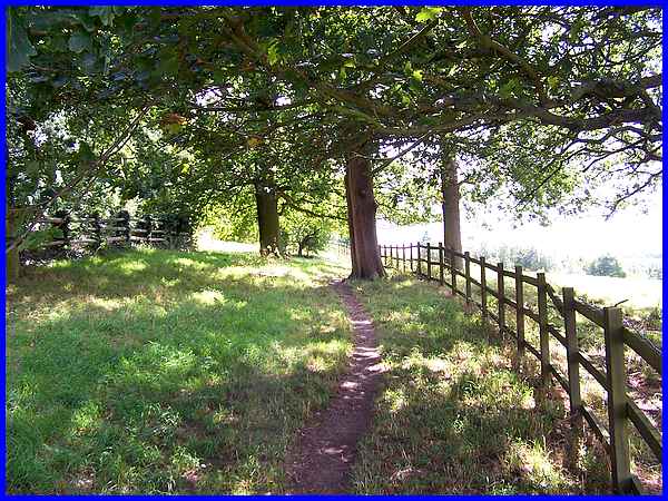
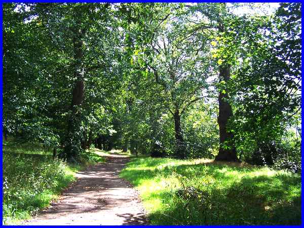
We followed the path parallel to Shipley Lane through the orchard
slowing ascending Shipley Hill.
|
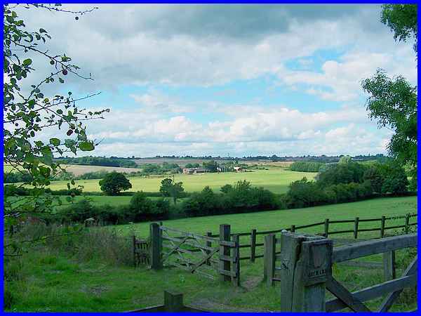
The path joins Shipley Lane via a number of gates opposite the
entrance to the former Home Farm which has now been converted
into residential properties but looking back down the hill we
could see the hedge and tree line in the middle distance that
delineates Bell Lane and a little further on, the buildings at
Flat Meadow Farm.
|
We could have continued climbing the hill by following Shipley
Lane all the way back to Mapperley from here but instead followed
a path through the trees that runs a little lower down the hillside.
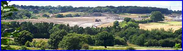
A steady drone of machinery had accompanied us all through the
walk and from this path the cause of it was clearly visible beyond
Bell Lane where opencast work is in progress.
|
The path swings round to rejoin Shipley Lane which drops down
the hill to the reservoir before rising on the other side of
the valley into Mapperley Village which is visible from here
in the distance.
|
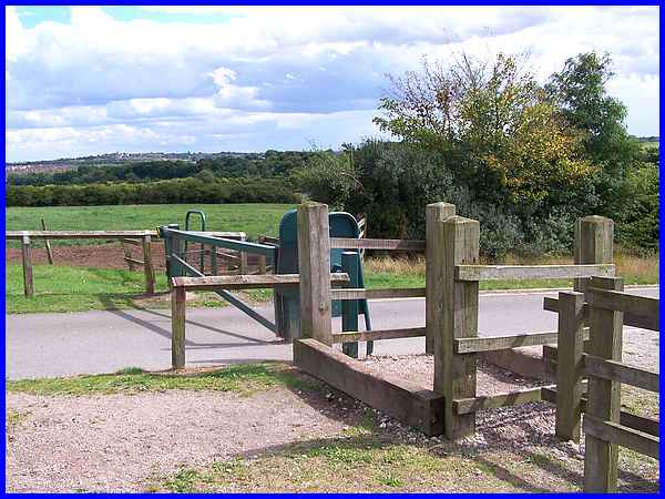
A wide grass verge separated from the lane by a fence, runs down
the hill as far as the reservoir car park where there is a series
of barriers and gates for vehicles, horses and walkers respectively.
|
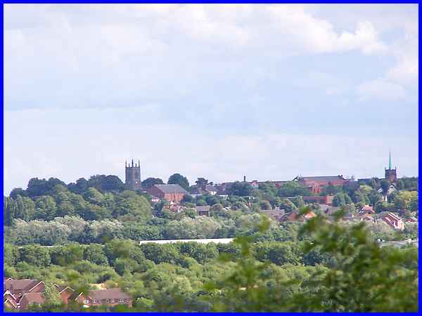
From here and actually all down the hill, the tower of St Mary's
Church and the spire of the United Reformed Church a couple of
miles away in Ilkeston, stand out on the horizon and are seen
here in a zoomed shot over the intervening countryside and rooftops.
|
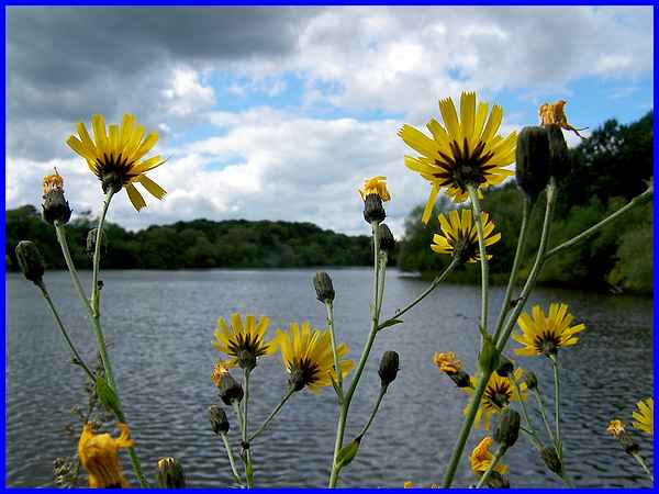
This final shot from our walk is from the dam wall looking down
the length of the Mapperley Reservoir but it was the flowers
(weeds?) growing up from the dam wall that caught my eye. All
that remained from here was to follow Shipley Lane back up the
hill into the village to complete the circuit.
Click here to see an aerial view of the complete
route.
|
