Newdigate To Hassock Lane - Part 01
w/e 29 January 2017
All of this week's pictures were
taken with a Kodak DX6490
With other commitments lined up for later in the
week we took advantage of a fine but misty afternoon on Tuesday
to go for a spur of the moment walk from West Hallam to Shipley.
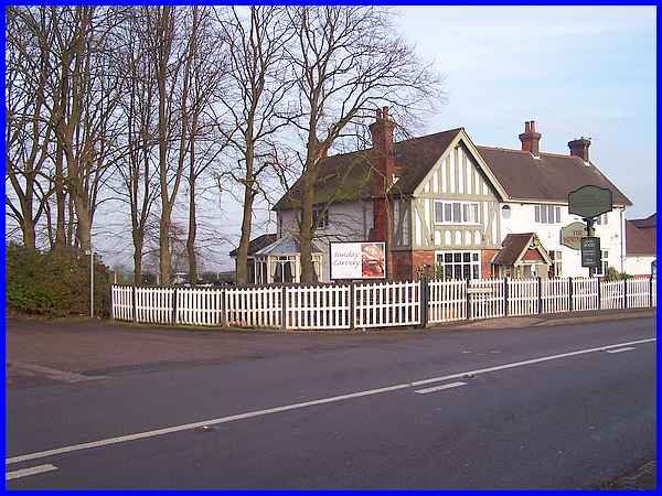
We hopped on the Derby bound bus in Ilkeston, alighted at the
Newdigate Arms on High Lane East at West Hallam and headed off
along the lane at the side of the pub.
|
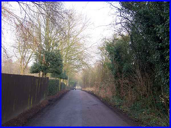
Although not a strenuous walk and only two and a half miles long
it is an undulating route with several ups and downs. The lane
at the start of the walk descends gently to the hamlet known
as Mapperley Brook.
|
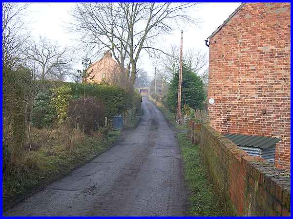
There are only a few cottages at Mapperley Brook and the brook
itself passes under the lane just beyond "The Nook",
the property seen here on the right. After that the lane begins
to gently rise again towards the bridge in the distance.
|
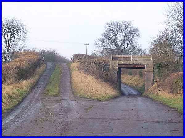
In a former life the bridge carried trains to Mapperley Colliery
on the Mapperley Branch of the Midland Railway but is now used
by farm vehicles and walkers. The lane (which we followed) dips
down and under the bridge but the alternative is up and over
the embankment.
|
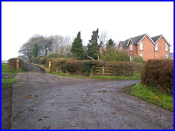
The different ways come together again at the entrance to Head
House Farm and the lane continues to gently rise to one of the
higher points on the route.
|
From that high point the tree covered hilltop in Shipley Country
Park comes into view although it was not as clear as it might
have been due to the misty conditions. The lane drops down to
a T-junction where a left turn would have taken us along Slack
Road into Mapperley Village. We turned right. I believe the name
Slack Road comes from when it was used by lorries carrying coal
slack from the collieries in the area.
|
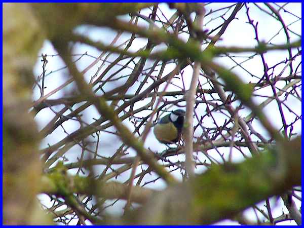
At the junction there was a lot of activity in the hedgerows
as a number of small birds flitted from branch to branch. Most
of them were too quick for me to catch on camera despite several
attempts. This is about the best shot I could get of what I think
is a Great Tit.
|
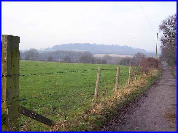
The lane continues to drop down to reach the low point of the
route at the metalwork seen on the right of this image where
another water course crosses. It then rises again to pass Woodside
Farm.
|
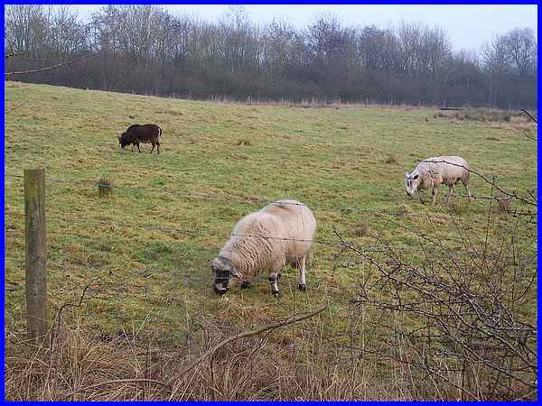
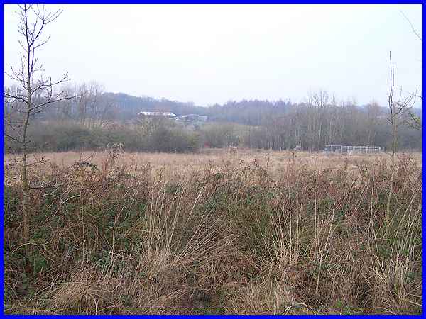
Woodside Farm is run by the Derbyshire Wildlife Trust and occupies
an area of land on the site of the former Woodside Colliery.
A sentence on the Trust's website states "We are managing
the extensive areas of grassland through a farming enterprise,
which involves the sale of beef and lamb reared on the farm."
As we approached the farm buildings some of those animals were
grazing in the fields. There are several native breeds including
Jacob sheep on the farm.
|
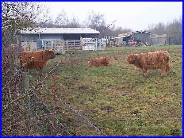
 Highland
cattle were also grazing in the same field but the intervening
hedgerow meant this was about the best shot I could get from
the lane. The farm extends over a 74-hectare site purchased in
2011 and is the largest in Derbyshire outside the Peak District
National Park. A brief introduction to Woodside Farm can be downloaded
as a PDF (click here). Highland
cattle were also grazing in the same field but the intervening
hedgerow meant this was about the best shot I could get from
the lane. The farm extends over a 74-hectare site purchased in
2011 and is the largest in Derbyshire outside the Peak District
National Park. A brief introduction to Woodside Farm can be downloaded
as a PDF (click here).
The Trust is funded by a combination of grants, donations, membership
subscriptions and other fundraising activities and more information
can be found at the Derbyshire Wildlife Trust website.
Forward to Part 02
|
