Gallows Inn Walk - Part 01
w/e 16 November 2014
All this week's pictures were taken
with a Kodak DX6490
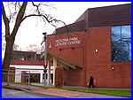 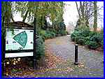 This is the
second route I devised back in 2006 for a Walking For Health
group but unlike the first, this is a linear walk of only a little
over two miles. Again it begins at the Victoria Park Leisure
Centre (left) and this time, instead of circling the town centre,
the route heads directly for it through the park (right) before
continuing from there to the Erewash Canal towpath concluding
at Gallows Inn. This is the
second route I devised back in 2006 for a Walking For Health
group but unlike the first, this is a linear walk of only a little
over two miles. Again it begins at the Victoria Park Leisure
Centre (left) and this time, instead of circling the town centre,
the route heads directly for it through the park (right) before
continuing from there to the Erewash Canal towpath concluding
at Gallows Inn.
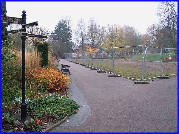
When I first devised the walk the route through the park took
us by the central grassed area and flower beds but these have
currently been flattened as work is underway as part of the Heritage
Lottery Fund grant. A damp misty afternoon in the middle of November
is not the best time for this view but it should be much better
by the middle of next year when the work is due to be completed.
|
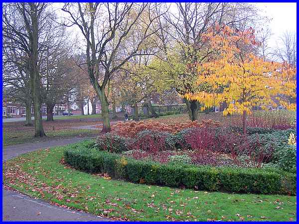
There are still plenty of places in the park though that look
good in any weather like this one we passed on the way to the
Pergola.
|
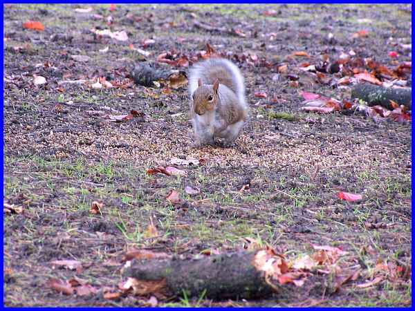
We were followed for much of the walk through the park by a robin
but he wouldn't sit still long enough to be photographed, flitting
from tree to bush to fence all the way. The squirrels however
were much more amenable.
|
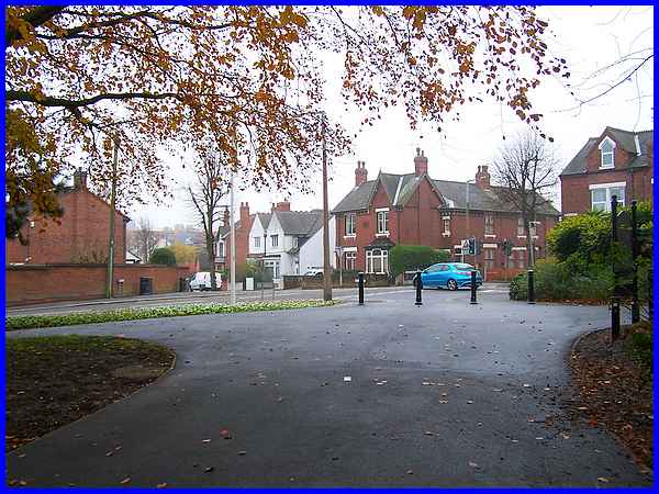
We exited the Park at the four way road junction of from left
to right, Bristol Road, New Lawn Road, King George Avenue and
Drummond Road.
|
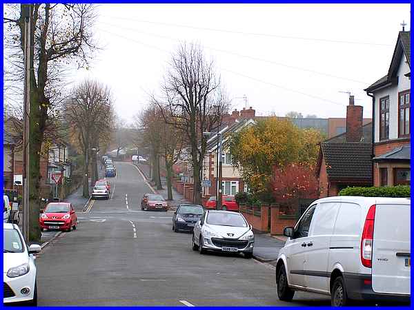
Crossing into New Lawn Road we continued towards the town centre
and if you look closely you can just about make out through the
mist the green spire of the United Reformed Church above the
houses and through the branches of the trees in the centre of
this image.
|
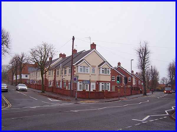
 Those
houses stand on the corner of New Lawn Road and Wharnclife Road
on a site I will forever refer to as Kenning's corner. That is
because there used to be a Kenning's Garage here and my Dad worked
there in the office for a time. The garage stood empty and dilapidated
for a number of years before becoming temporary home to a car
wash business but it was eventually demolished to allow the housing
development to proceed. On the adjacent site the Magistrate's
Court has also been demolished and the new Ilkeston Campus of
the Derby College has been built which backs onto New Lawn Road. Those
houses stand on the corner of New Lawn Road and Wharnclife Road
on a site I will forever refer to as Kenning's corner. That is
because there used to be a Kenning's Garage here and my Dad worked
there in the office for a time. The garage stood empty and dilapidated
for a number of years before becoming temporary home to a car
wash business but it was eventually demolished to allow the housing
development to proceed. On the adjacent site the Magistrate's
Court has also been demolished and the new Ilkeston Campus of
the Derby College has been built which backs onto New Lawn Road.
|
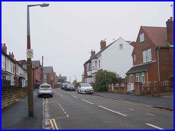
Our route for this Walking for Health walk leaves New Lawn Road
opposite the college to follow the entire length of St Mary Street
which is seen here from close to that junction.
|
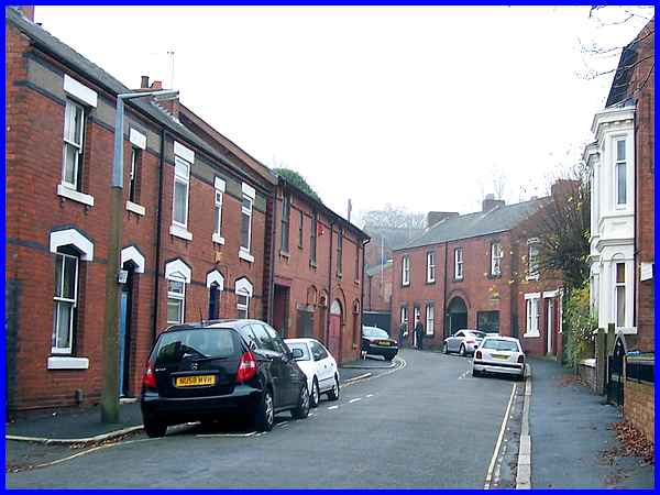
St Mary Street swings round to approach the town centre and the
properties at this end appear to be from an earlier date to those
at the New Lawn Road end. The Monday Strollers as the name suggests
is a group that enjoys their walks on Monday mornings and one
thing I noticed as we followed this route on a Saturday afternoon
was the increased number of parked vehicles. Most of the parking
in the area walked so far is for residents and visitors only
which explains the difference.
|
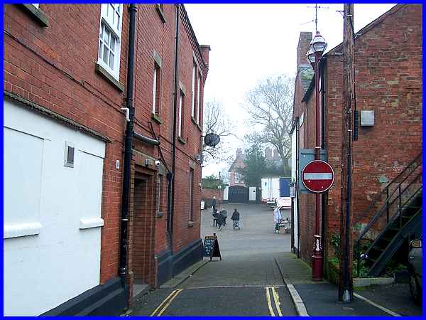
Where St Mary Street meets the Lower Market Place a "No
Entry" sign prevents access (supposedly) for vehicles but
care has to be taken when walking up Bath Street into the Market
Place as this sign is not always adhered to and on more than
one occasion I have seen drivers ignoring the prohibition. Straight
ahead are the gates to the old vicarage and to the left of the
gates is Anchor Row which is where we will continue this walk
in the next part.
|
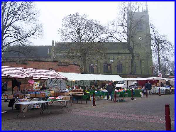
On this Saturday afternoon however we arrived in the Market Place
just as the traders were beginning to pack their unsold goods
away and with the mist still hanging about we decided to leave
the rest of the route for another day when hopefully the conditions
will be a little clearer.
Forward to Part 02
To see a map/aerial view of the whole route in a new window follow
this link.
|

