Autumn Footprints 2021 - Codnor Park Reservoir continued
w/e 07 November 2021
All of this week's pictures were taken with a Kodak DX6490
The first
half of this walk had taken us from
Codnor Park Reservoir along the Cromford Canal and through a
succession of Nature Reserves, (The Forge, Erewash Meadows and
Aldercarr Flash) before ascending from the Erewash Valley to
reach Codnor Castle.
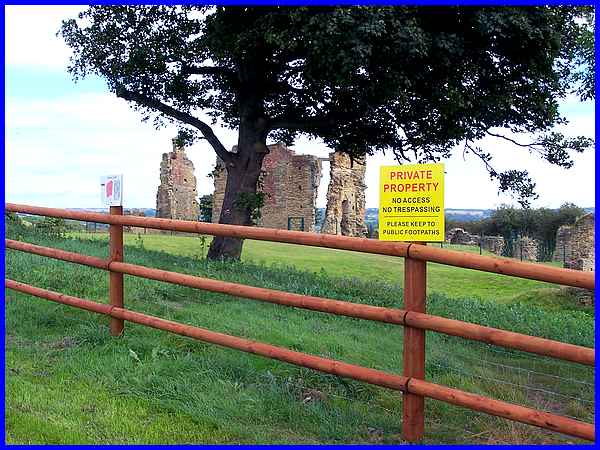
Many of the group had been to the site previously where a green
mesh fence surrounds the ruins. Recently ownership of the land
around the Castle has changed and a new wooden fence has been
erected further away with signs saying it is "Private Property"
and notices asking visitors to follow the footpath as shown of
a map.
|
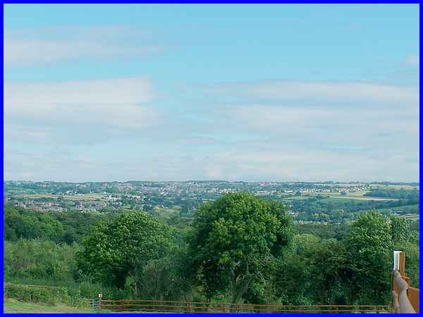
I'm sure I wasn't the only one to think of the "Kinder Scout
Trespass" of 1932 and the "Right to Roam" but
we all contented ourselves by sitting on the grass to enjoy a
picnic lunch whilst surveying the Castle or picking out places
on the other side of the valley in Nottinghamshire. The fence
can be seen running along the bottom of this picture and when
we left the site we exited by the gate towards the left.
|
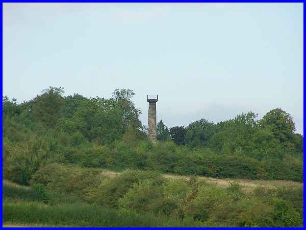
Before that though we looked over to the left where we could
see the Jessop Monument. This can be seen from miles around but
this zoomed shot is the best we would get on this walk. Although
our route would take us close to it, access to the site is prohibited
(even though it was erected by public subscription in 1854) and
the surrounding trees prevent closer inspection. The monument
is in memory of William Jessop Jnr, partner in the Butterley
Company and there is much more information on the Codnor Local
History site here - http://www.codnor.info/Monument.php
|
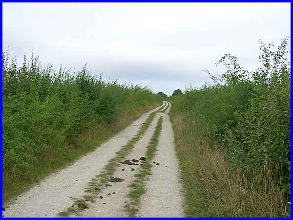
We left the Castle site by the lower exit, then climbed back
up the hill to turn right onto Castle Lane again which we followed
all the way to Castlehill where it becomes known as Monument
Lane as it passes the monument.
|
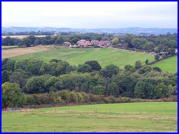
After passing the monument we could now enjoy the views across
the countryside, this time into Derbyshire, over Golden Valley
towards Riddings.
|
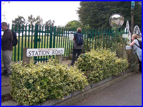
  We
followed Monument Lane to where it changes to Station Road and
here there is a small area at the side of the road called Sharon's
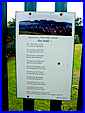
Corner. A poem titled "Rest 'awhile" is posted on the
railings (left) and there is also a notice board (right) with
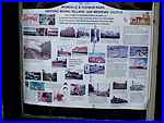
information about "Ironville & Codnor Park - Historic
Model Village with Medieval Castle". This contains a lot
of old photographs of the area and information about the formation
of the Butterley Company over 200 years ago. We
followed Monument Lane to where it changes to Station Road and
here there is a small area at the side of the road called Sharon's
Corner. A poem titled "Rest 'awhile" is posted on the
railings (left) and there is also a notice board (right) with
information about "Ironville & Codnor Park - Historic
Model Village with Medieval Castle". This contains a lot
of old photographs of the area and information about the formation
of the Butterley Company over 200 years ago.
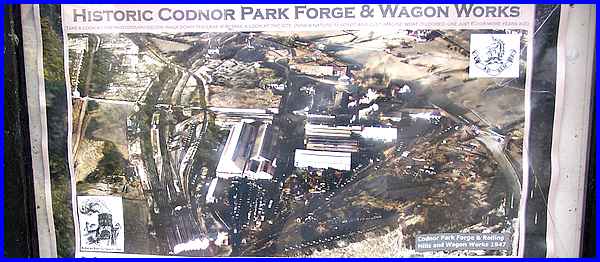
There is also another board with a photo showing The Forge Site
that we had walked through earlier but this shows the site when
it was a hive of industry.
|

Our route now continued down Station Road and led us back to
the Forge Nature Reserve.
|
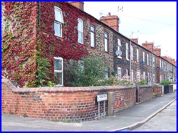
At the bottom of the hill and just before we entered the Forge
Nature Reserve we stopped to look along Forge Row. The industry
may have gone from the area but the old workers' cottages still
remain although the satellite dishes, TV aerials and new window
and door frames show they have all been modernised for 21st century
habitation.
|
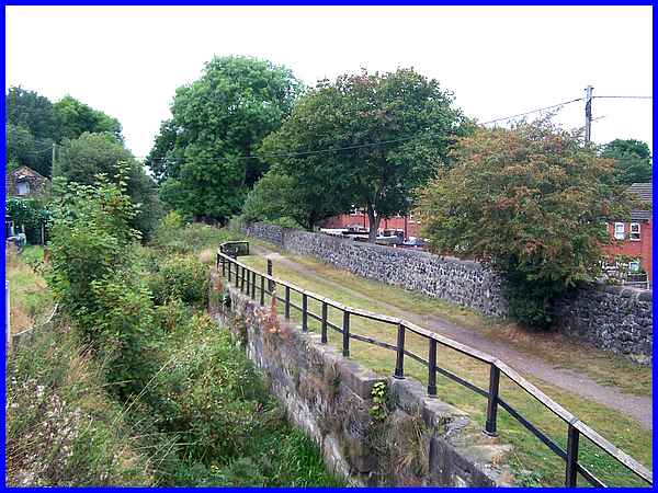
A left turn once inside the Nature Reserve soon took us back
to the Cromford Canal on the opposite side to the towpath we
had walked on the outward leg.
|
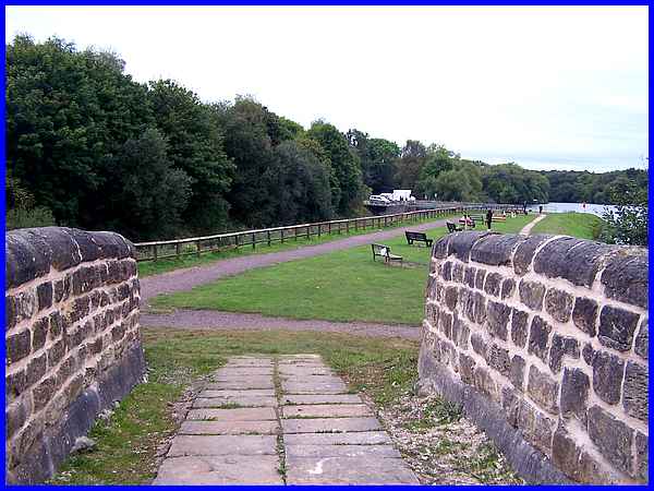
And it was not long before we had crossed over the canal via
a road bridge we had previously walked under to reach the bridge
over the Pinxton Canal that we had seen on the outward journey.
Then we had paused and looked under the bridge along the former
line of the Pinxton Canal but now with Codnor Park Reservoir
and the end of the walk in view we maverick walkers chose to
walk over the bridge.
Route Map
|
