Autumn Footprints 2016 - Week One
w/e 18 September 2016
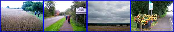
All of this week's pictures were
taken with a Kodak DX6490
 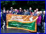 This year's
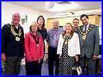
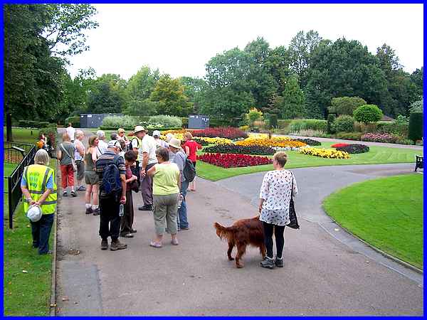
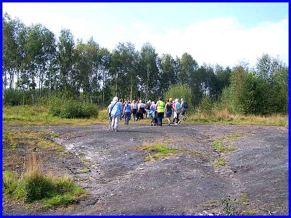
sixteen day Walking Festival was opened by the respective Mayors
of Amber Valley and Erewash Councils at the Shipley Park Visitor
Centre on Saturday morning September 10th. After the presentation
of mementoes to the Walk Leaders who are all volunteers, and
the customary posing for photos both inside and outside the Centre,
there followed a walk around the park. This year's
sixteen day Walking Festival was opened by the respective Mayors
of Amber Valley and Erewash Councils at the Shipley Park Visitor
Centre on Saturday morning September 10th. After the presentation
of mementoes to the Walk Leaders who are all volunteers, and
the customary posing for photos both inside and outside the Centre,
there followed a walk around the park.
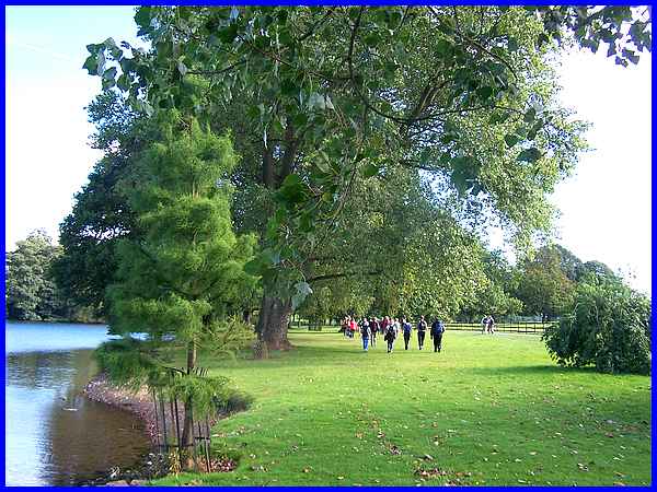
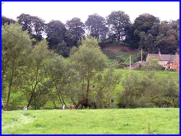
Having done the opening walk in Shipley Park in 2015 in the rain
and as it was raining again this year, I decided against joining
the group so my first walk in this year's Festival was on Monday
when the conditions were much more amenable. And lovely it was
too walking by the lake in Locko Park at Spondon.
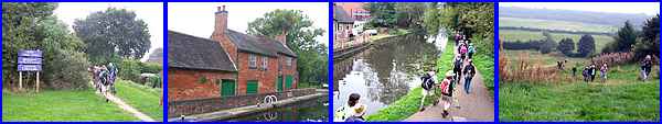
The walk had actually started at Bluebell's Ice Cream Parlour,
Brunswood Farm just a few minutes walk from the park and after
passing through the Locko Estate continued along footpaths and
farm tracks to Dale.
|
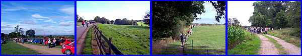
At Dale Hills near Closes Farm, the Erewash Ramblers who were
leading this walk, had previously installed steps to aid the
climb up the hillside and as the walkers were strung out across
the fields the front runners could be seen making their way up.
The walk leader's decision to call a halt at the top for a lunch
break was met with a degree of gratitude by the group.
The walk resumed and crossed the fields into Ockbrook and then
on to Spondon to return to the Ice Cream Parlour at Brunswood
Farm to complete the seven mile circuit.
Route Map
|
On Tuesday I joined the Heanor Walking For Health group for the
Victoria Park and Pewit walk.
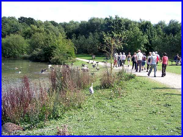
We met at Straw's Bridge Nature Reserve for a gentle stroll of
a little under three miles into Ilkeston and back starting and
finishing at Swan Lake.
|
The walk passed through the award winning Victoria Park in Ilkeston
where we paused to admired the colourful flower beds.
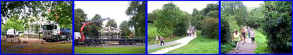
We also noticed work on the construction of the Lottery Funded
refurbishment of the bandstand and returned to Swan Lake via
the Nutbrook Trail and Pewit Carr.
Route Map
|
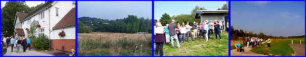
Wednesday's walk also took in part of the Nutbrook Trail but
started at the Newdigate Arms pub at West Hallam. About half
an hour into the walk we reached the Derbyshire Wildlife Trust's
Farm in the Woodside Nature Reserve where Jonathan, the Farm
Manager, gave us an insight into the Trust's work before we continued
along the Nutbrook Trail.
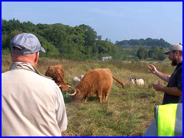
Jonathan (on the right in this picture) during our brief stop,
took the group into a field where he introduced us to a flock
of sheep and a herd of Highland cattle. He assured us the cattle
were quite gentle beasts but did qualify this by saying not to
get between adult animals and their young. He also recalled how
he had been accidentally trapped between the horns of one cow
and a fence causing severe bruising to his midriff. Not a malicious
attack, just an unfortunate accident but I'll still keep my distance.
|
The walk led by the Memories of Stanley Village Trust was titled
"A Nut Brook and Maggie's Coal Walk" and the second
part took us to the part of the valley where coal destined for
local Power Stations was stockpiled on the orders of the then
Prime Minister during the government's dispute with the miners
in the 1970s - hence the name Maggie's Coal. The coal was hidden
under turf but erosion has now revealed huge areas of the coal.
Route Map
|
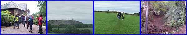
On Thursday I met up with the Long Eaton Rambling Club at Breaston
Cemetery for a walk "By Stanton By Dale" and followed
the route of the old Derby Canal to pick up the Erewash Canal
at Sandiacre Lock, the headquarters of the Erewash Canal Preservation
and Development Association. From there we followed the Erewash
Canal northwards which again is a section of the Nutbrook Trail,
before crossing Bridge No. 12 to ascend the hill to Stoney Clouds.
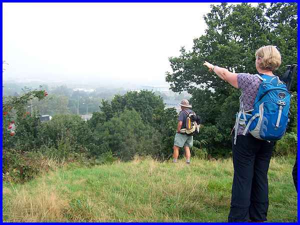
Stoney Clouds is an excellent viewpoint but the misty conditions
on Thursday morning made it difficult to pick out many distant
landmarks.
|
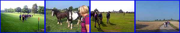
We continued across the Erewash Valley Golf Club, were followed
by horses through another field and made our way into the village
at Stanton By Dale for a lunch break. We then climbed up to No
Man's Lane, crossed another golf course, Maywood, and then walked
on footpaths and farm tracks back to Breaston.
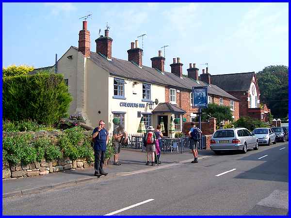
There are several places in Stanton By Dale where lunch can be
taken and as we walked back to Breaston in the hot sunshine that
had burnt off most of the mist, I began to wish I had joined
some of my fellow walkers in the Chequers Inn for a shandy! This,
at eight miles, was one of the week's longer walks and on one
of the hottest days too.
Route Map
|
I had pencilled in the "Belper to Blackbrook"
walk for Friday but with the possibility of thunderstorms and/or
heavy rain showers, I was pleased to receive a request for help
nearer to home so abandoned my plans. Just as well as it did
rain quite heavily during the morning. OK call me a fine weather
walker, I don't mind.
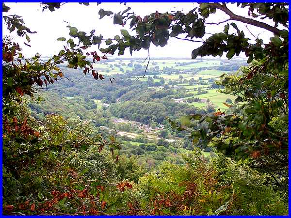
Cancelling the Friday walk meant my next outing was on Saturday
morning to Lea for a walk along "A Clifftop Path & Woodland
Stream" with the Amber Valley Walking For Health group and
this is one of the views from the clifftop path.
|
The walk started at the entrance to Lea Rhododendron Gardens
which are closed at this time of year but will reopen for the
new season next March. After a walk along the appropriately named
long Long Lane, we took the clifftop path and then walked across
the fields towards the distant Crich Stand. Circling round we
headed back towards Lea under cloudy but brightening skies before
dropping down into a gully to follow the sunken path back to
the village.
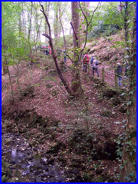
To complete the walk we dropped down again to cross the woodland
stream before climbing up the other side of the valley from where
we retuned to our starting point at Lea Gardens.
Route Map
That brought an end to the first week of the Festival which has
39 walks and events throughout the fortnight. I think I'll give
the Nordic Walking Taster Sessions a miss but that still leaves
plenty of choice for the second week of the Festival.
|
