Autumn Footprints 2016 - Week Two
w/e 25 September 2016
All of this week's pictures were
taken with a Kodak DX6490
The Walking Festival continued over the middle weekend
but my first walk in the second week was not until Tuesday. I
then joined various groups on successive days through to Saturday
to complete five more guided walks during the week.
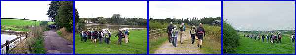
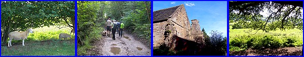
The Tuesday walk was from Loscoe to Codnor Castle and was labelled
a "Historical walk" led by the Heanor and District
Local History Society. There were frequent pauses in the walking
to hear about the areas mainly industrial heritage as we walked
close to and over several coal mining sites. We passed Loscoe
Dam and then walked up Hogbarn Lane to Woodlinkin.
A recurring theme of walks in the first week was golf courses
and this Tuesday walk continued the theme as we followed a path
across Ordmonde Fields Golf Club which again had ties with the
former mining industry.
|
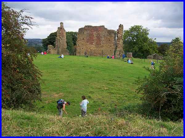
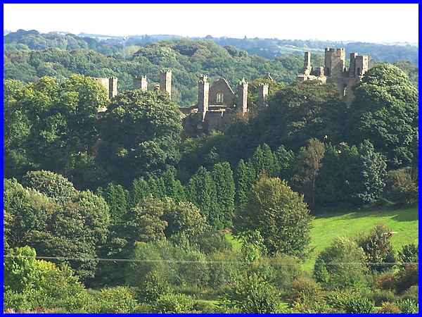
Our initial destination was the ruins of Codnor Castle where
we enjoyed a picnic lunch on the grass. We had been warned at
the start of the walk that the route was over open countryside
and there were no seats anywhere along the way so we were fortunate
that the sun came out whilst we ate our food.
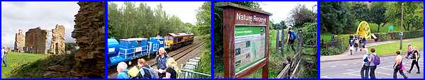
From the castle ruins we descended the hillside to pass through
the woods at Codnor Park and over the so-called Monkey Bridge
over the railway. This led to the route of the former Cromford
Canal and through the Erewash Meadows Nature Reserve before returning
to our starting point at Loscoe via Aldercar to complete the
7.5 mile walk.
Route
Map
|
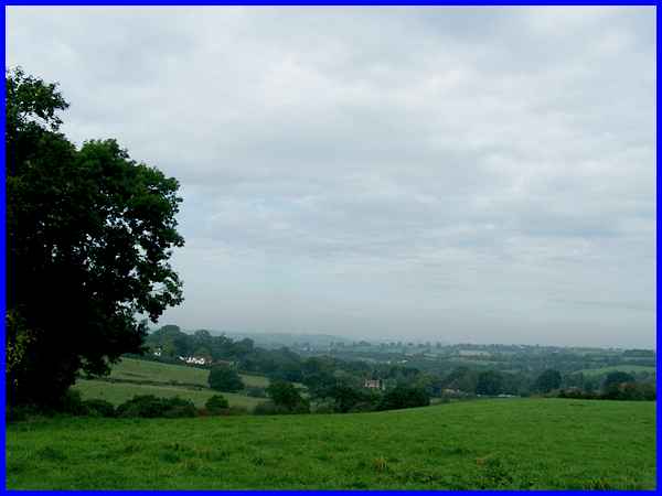
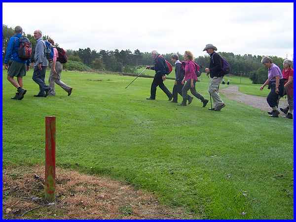
It was a dull start to Wednesday when I met up with the Horsley
Woodhouse Walking For Health group as this view towards Horsley
from early in the walk shows.
We met at the Smalley Tennis Club and as usual followed footpaths,
farm tracks and quiet lanes to pass the Sitwell Arms, climb up
towards Cloves Wood giving us a view of Cloves Hill from an unfamiliar
angle before reaching the entrance to Morley Hayes Golf Course
just as the sun came out again.
|
Yes, yet another golf course and the route from here was one
I had walked on several previous occasions over the ploughed
field and on past the Victorian Water Tower to end at Morley
Church.
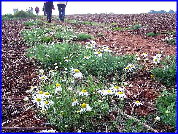
I've walked across this field in all conditions both wet and
dry but it's the first time I've seen wild flowers there. The
water tower can be seen in the distance. As this was a linear
walk it was just a few steps up Church Lane to the main road
to catch a bus back to Smalley.
Route Map
|
In his poem "To Autumn" John Keats wrote of the "Season
of mists and mellow fruitfulness!" and whilst there had
been some misty mornings during the Walking Festival, Thursday
was bright and clear when I joined the Holbrook Parish Council
led walk for the 6 mile wander to Belper Parks and back. We left
Holbrook along Blackbird Row and headed for High Wood, a private
wood but open to the public. A notice at the entrance warned
of a forthcoming wedding in October to be held in the wood and
asked walkers to keep to a certain footpath. I hope the weather
is fine for them! Reaching Belper we climbed Sandbed Lane and
entered Belper Parks.
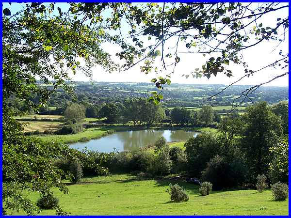
We had a brief drinks break in the park but before we move on
from there, here's a view over the fishing lake that has been
created in recent years from High Wood where that wedding is
to be held.
|
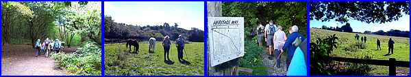
Leaving Belper Parks we returned to Holbrook on the Derwent Valley
side of the ridge picking up the Heritage Way at appropriately
named Dark Lane as it is shrouded by trees before emerging to
climb up the valley side and back into Holbrook.
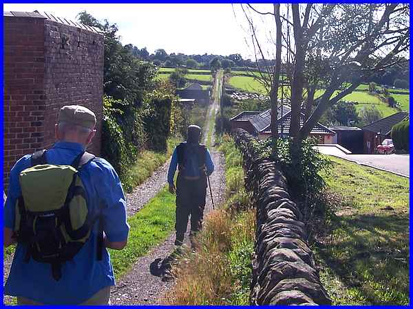
Our route back took us along Wildersley Road, a long straight
narrow lane reminiscent of something the Romans built although
apparently there is no evidence to confirm the Roman road theory.
If the Romans had been here though I'm sure they would have admired
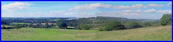
the panoramic view of Derbyshire across the Derwent Valley from
the edge of Holbrook.
Route Map
|
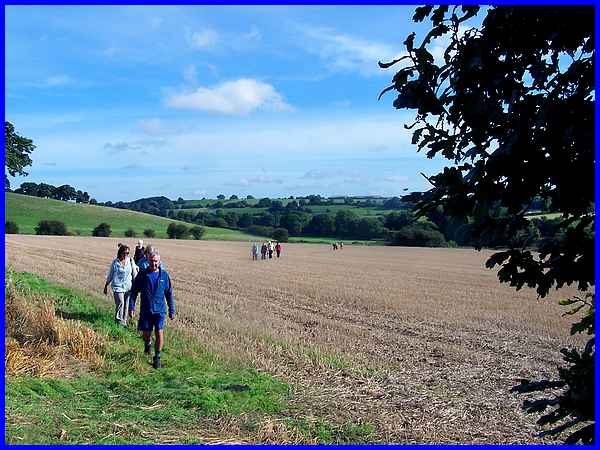
Another day (Friday) and another walk and it was into the Derbyshire
countryside for this exploration of South Wingfield. I say "exploration"
as this was unfamiliar territory for me as I have never walked
in this particular area previously so it was a good job the the
walk was led by the Amber Valley Ramblers. This walk took us
through fields of livestock, along Boggy Brook, close up to the
ruins of Wingfield Manor and then along the tree lined footpath
that is Manor Lane. This path seemed extremely long but that
was only because of my unfamiliarity with the area as it was
not much more than half a mile.
As we turned to walk by the side of the railway line and then
head off across the fields, I had lost all sense of whereabouts
and was unable to pick out any significant landmarks. This is
why I like these guided walks so much as they introduce you to
new places that are still fairly close to home.
|
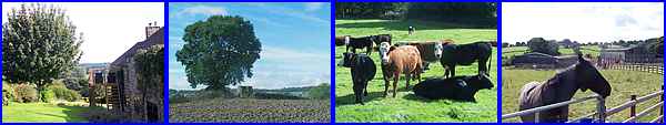
We continued through the fields, passed isolated buildings and
the remains of an old post mill and saw more of the livestock
on the farmland.
It was when we had almost completed the four and a half miles
though that we saw the best views of Wingfield Manor although
we had earlier walked close to its ruined ramparts. Standing
out above the treetops, even in its ruined state, it's still
an imposing feature in the landscape.
Route Map
|
The Festival concluded on Sunday but my final walk in this year's
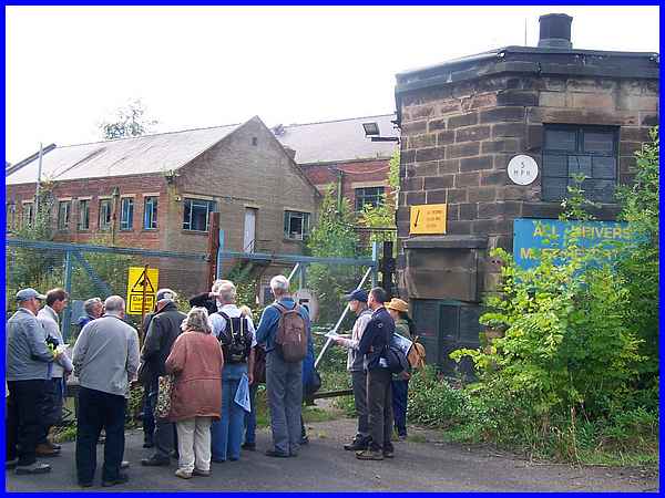
event was on Saturday afternoon at Ripley. In actual fact this
was more talk than walk but that was expected as the description
of the walk was to investigate the history of the Butterley Company.
An easy two mile, two hour stroll around Butterley was interspersed
with some fascinating facts from our knowledgeable leader that
really brought the semi-derelict site to life. The octagonal
gatehouse and Post Office is one of two listed buildings on the
site.
|
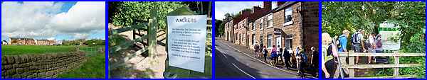
The Butterley Company was founded in 1790 and at its height employed
10,000 people from the Ripley area. That was in the 1950s and
its iron and steel constructions can be seen all over the world
including in the restored St Pancras Station and the Falkirk
Wheel. A road on the housing estate now built on part of the
site is named Falkirk Avenue and during our walk we passed several
older houses that were once occupied by the works' managers.
Even when we passed through Carr Wood, evidence of the company
could be seen in iron railings and as we made our way to Hammersmith
Meadows, we passed a wall built of slag from the blast furnaces.
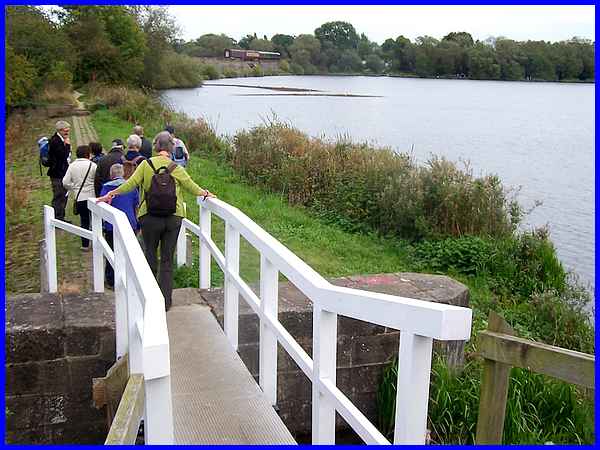
Our return to the car park at the Midland Railway Centre from
where we had started was on both sides of the railway line that
crosses the Butterley Reservoir.The reservoir was constructed
to supply water to the Cromford Canal which passes directly under
the site of the Butterley Works in a tunnel. Access to the canal
was gained via a shaft in the works which allowed easy transportation
of goods - just another of those interesting facts on this easy
"Walk Through Industrial History" that brought to an
end my participation in this year's Autumn Footprints Walking
Festival. Thanks must once more go to all the organisers and
walk leaders who have contributed to the success of another enjoyable
fortnight of guided walks.
Route Map
|
