Little Eaton Walk No. 2
w/e 08 September 2013
All this week's pictures were taken
with a Kodak DX6490
 All
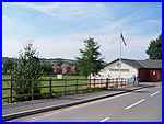
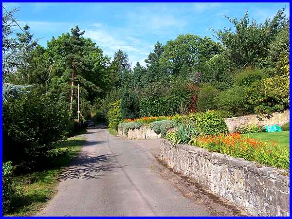
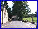
three Family Walks from Little Eaton begin in the car park by
St Peter's Park (left) and this, the second that is described
in the leaflet, is the shortest at between a mile and a quarter
and a mile and a half. The leaflet also says that the park which
has a large playing field and plenty of open space is the ideal
place to begin and end the walks. This walk climbs up to a high
point above the village before descending again and although
short, younger family members may prefer to stop and enjoy the
amenities at the park. For those intrepid youngsters (and their
elders) following the route though, an aerial view is available
by clicking here. All
three Family Walks from Little Eaton begin in the car park by
St Peter's Park (left) and this, the second that is described
in the leaflet, is the shortest at between a mile and a quarter
and a mile and a half. The leaflet also says that the park which
has a large playing field and plenty of open space is the ideal
place to begin and end the walks. This walk climbs up to a high
point above the village before descending again and although
short, younger family members may prefer to stop and enjoy the
amenities at the park. For those intrepid youngsters (and their
elders) following the route though, an aerial view is available
by clicking here.
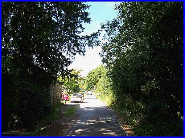
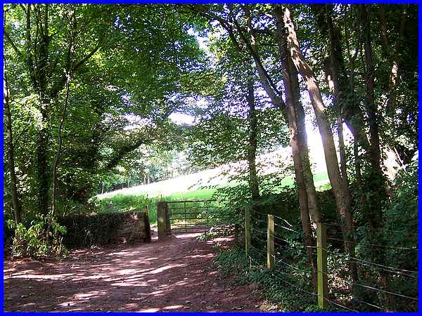
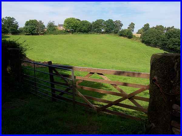
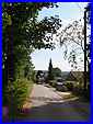
Turning left out of the car park, the route begins with a gentle
climb up the hill of Vicarage Lane.
|
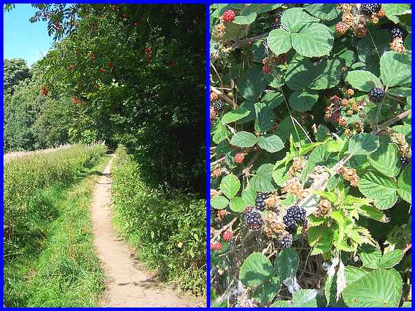
Where the lane bends to the right a footpath continues
straight ahead to Hatherings Wood. It was a really warm late
summer afternoon in early September when we followed the route
but with branches of a Rowan tree hanging low over the path laden
with red berries and brambles in the hedgerow ready for picking,
there were sure signs of the changing seasons.
|
The path leaves Hatherings Wood via a squeeze stile and yes it
was a squeeze to continue with the grassy hillside rising up
on the right and trees falling down the slope to the left.
|
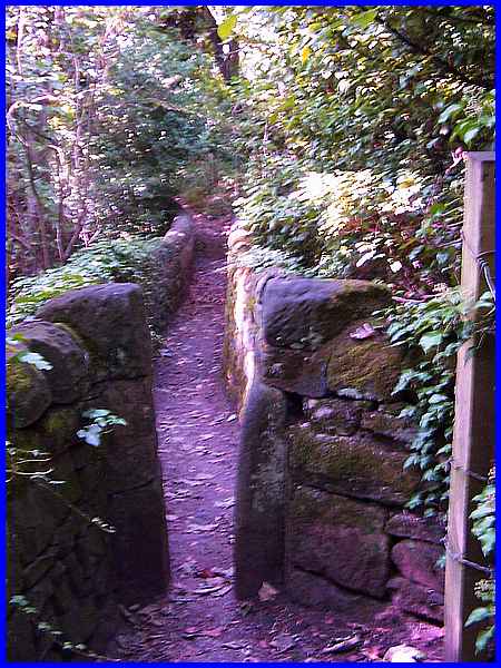
 Another
squeeze stile leads into Herons Wood and what can also be described
as a "squeeze" bridge. The footbridge spans the remains
of the old Rigga Quarry and a question in the leaflet asks what
stone was worked in the quarry (answer given below). Having
walked this path previously in both directions in the annual
Autumn Footprints programmes, this is a favourite place to pause
and peer down (right) into the quarry but it has not been worked
for many years and the views of the workings on this occasion
were obscured by foliage. Evidence of quarrying in the area dates
from before the fourteenth century. Another
squeeze stile leads into Herons Wood and what can also be described
as a "squeeze" bridge. The footbridge spans the remains
of the old Rigga Quarry and a question in the leaflet asks what
stone was worked in the quarry (answer given below). Having
walked this path previously in both directions in the annual
Autumn Footprints programmes, this is a favourite place to pause
and peer down (right) into the quarry but it has not been worked
for many years and the views of the workings on this occasion
were obscured by foliage. Evidence of quarrying in the area dates
from before the fourteenth century.
|
After crossing the footbridge, the fenced path drops by some
uneven steps to Rigga Lane and then the route continues to the
right up the well rutted slope of Rigga Lane. A word of warning
is in order here especially if there are any youngsters walking
the route as the surface in this part of the walk can be quite
challenging.
|
Rigga Lane soon levels out and the surface is much better with
a tarmac road. The leaflet description of the route reads "Bear
right after the cottages up Quarry Edge Road" but the "cottages"
on the right appear to be quite substantial and desirable residences
standing in extensive grounds with long well maintained gardens.
The vehicle in the shadows in this image is approximately at
the point where Quarry Edge Road joins Rigga Lane. In fact Quarry
Edge Road looks just like the drive to another property but a
footpath sign points the way.
|
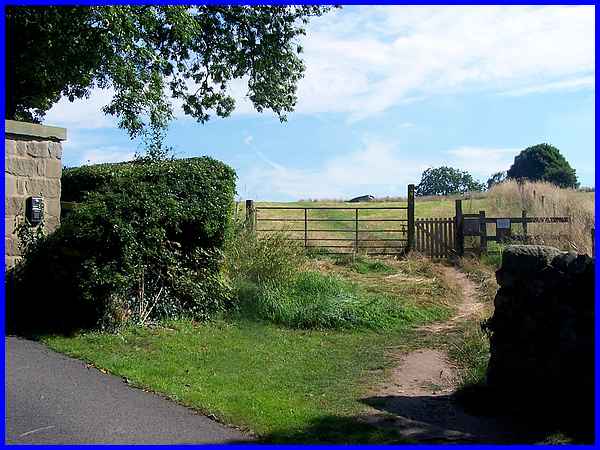
At the top of the drive some substantial gates indicate the entrance
to another property but a path on the right leads through a gate
and up to the high point of the walk. An interesting sign at
the field gate advises that this is a newly seeded/planted area
and requests that walkers keep to the official path and not to
feed the goats that are on a restricted diet. We kept to the
path but saw nothing of the goats.
|
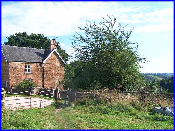
 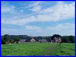 The
path crosses two fields and from the high point there is a distant
view (left) over Derby covered on this hot afternoon with a heat
haze. Ahead though is a farm (right & above) and the second
question posed in the leaflet is to find the name of the farm.
It is shown on Ordnance Survey maps and also in the leaflet and
can be found easily enough - but if you don't want to find it
yourself, the answer is given below. The
path crosses two fields and from the high point there is a distant
view (left) over Derby covered on this hot afternoon with a heat
haze. Ahead though is a farm (right & above) and the second
question posed in the leaflet is to find the name of the farm.
It is shown on Ordnance Survey maps and also in the leaflet and
can be found easily enough - but if you don't want to find it
yourself, the answer is given below.
|
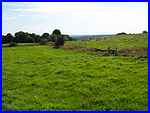
As mentioned previously, we were familiar with the route from
the start of this walk to Rigga Lane but we had never walked
the path across the fields to the farm before. Once at the farm
however we were once again in familiar territory have approached
it in a different direction on Autumn Footprints walks. The lane
from the farm to the end of the walk is the same Vicarage Lane
that began our walk and here from part way down the hill is a
view back to the farm.
|
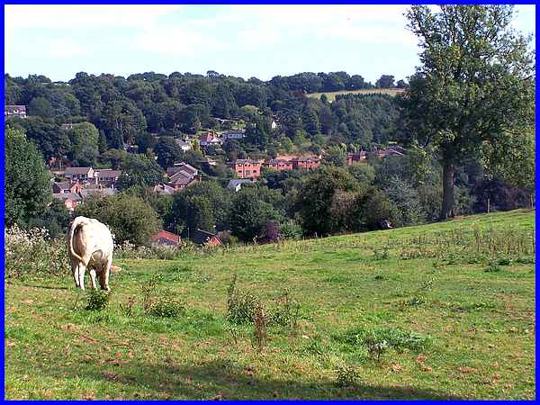
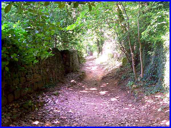
  The
lane continues and briefly passes through Hatherings Wood again
to the point where we originally left Vicarage Lane to follow
the footpath to the wood near the start of the walk. From there
the route is the same as the outward journey in reverse order
to follow the slope down (left) as far as the Village Hall (right)
where we turned again into the car park at St Peter's Park but
not before pausing near the wood for a view over the valley to
some of the village situated on the hillside opposite. The
lane continues and briefly passes through Hatherings Wood again
to the point where we originally left Vicarage Lane to follow
the footpath to the wood near the start of the walk. From there
the route is the same as the outward journey in reverse order
to follow the slope down (left) as far as the Village Hall (right)
where we turned again into the car park at St Peter's Park but
not before pausing near the wood for a view over the valley to
some of the village situated on the hillside opposite.
The answers to the questions from the leaflet are: Q1 - Gritstone
which can be seen in many of the surrounding buildings and walls
and Q2 - Park Farm.
|
