Trowell Circular - Part 01
w/e 28 July 2013
All this week's pictures were taken
with a Kodak DX6490
This is walk number 10 in the second volume of Broxtowe
Borough Council's local route booklets of the "Best Walks
in Broxtowe Borough". The booklet is no longer available
and unlike the walks from the first volume, it is not available
to download from the Council's website. Having now walked the
route I can reveal that if the booklet is ever to be reprinted
the description will need revising in several places as we will
see as we proceed. Another feature about this walk is that it
touches on and links into other walks in the area that we have
already completed. I'll highlight them as we go round and link
to the relevant pages.
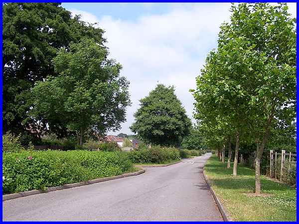
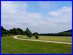
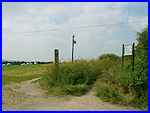
The walk description actually starts at the car park at the far
end of Pit Lane, Trowell but we dropped off the bus on Stapleford
Lane and started the walk from there. This first image then should
be one of the last views in the circuit according to the booklet
description.
|
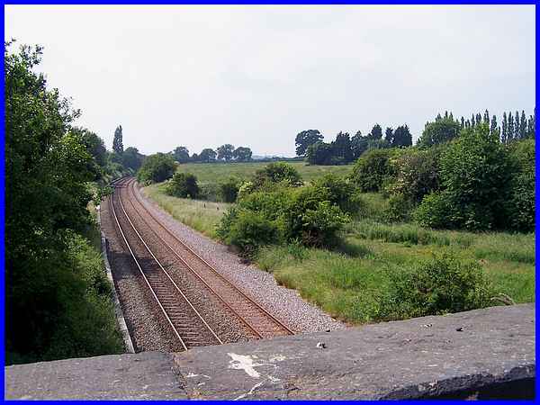
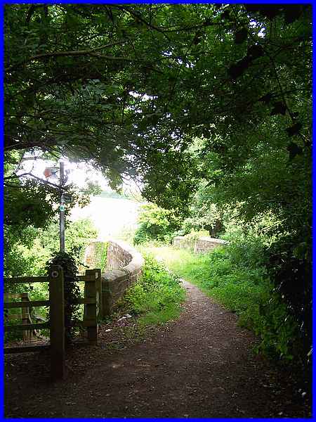
The first instruction in the booklet is to enter an open space
from the car park, to turn immediately to the left (below left)
through a narrow twitchell and (in bold type) to be aware of
an unprotected railway line ahead which should be crossed with
care.
  Understandably
this is an instruction that should and could not now be followed.
The twitchell is no longer accessible and the railway line is
protected from pedestrians by a high fence. The alternative route
is to follow the path (right) from the car park to the bridge
(above) over the railway. This is the same bridge that we crossed
in Part 02 the Bramcote
Hills/Nottingham Canal Circular walk. Understandably
this is an instruction that should and could not now be followed.
The twitchell is no longer accessible and the railway line is
protected from pedestrians by a high fence. The alternative route
is to follow the path (right) from the car park to the bridge
(above) over the railway. This is the same bridge that we crossed
in Part 02 the Bramcote
Hills/Nottingham Canal Circular walk.
|
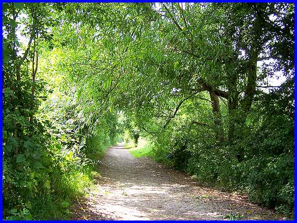
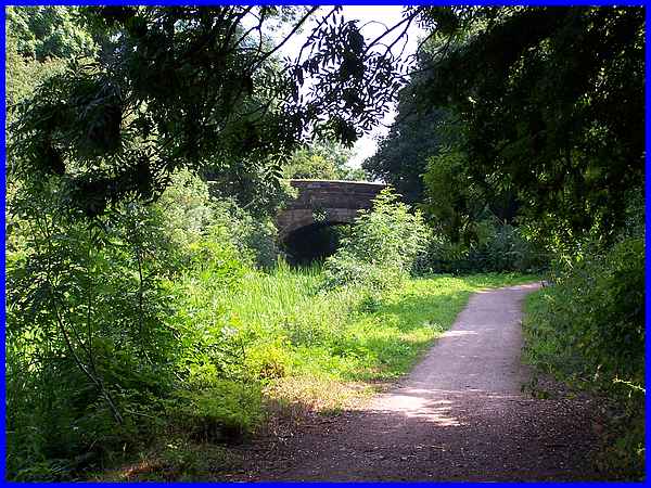
In the aforementioned walk we turned right along the towpath
of the disused Nottingham Canal towards Coventry Lane but this
time our route is in the opposite direction towards the Trowell
Garden Centre.
|
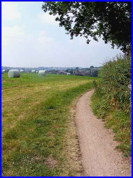
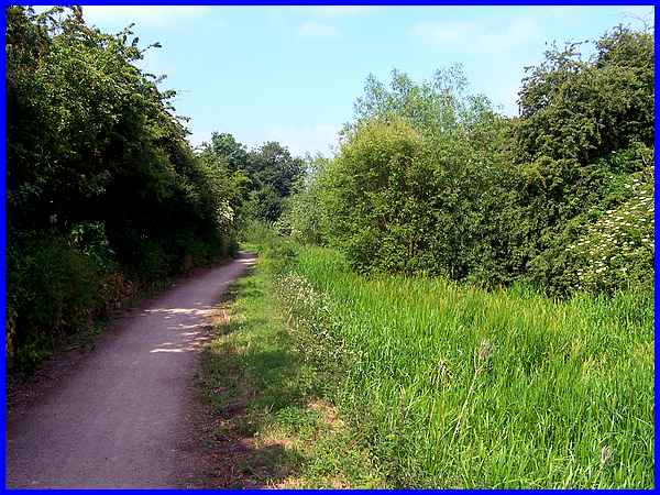
  The
garden centre sits across the line of the former canal and the
towpath turns left to follow the site boundary. After passing
the point in the booklet description where the original route
from the railway line would have met the garden centre, we passed
the entrance (left) and continued along the path around the perimeter
(right and above) and were rewarded with views over Trowell to
Ilkeston on the horizon. The
garden centre sits across the line of the former canal and the
towpath turns left to follow the site boundary. After passing
the point in the booklet description where the original route
from the railway line would have met the garden centre, we passed
the entrance (left) and continued along the path around the perimeter
(right and above) and were rewarded with views over Trowell to
Ilkeston on the horizon.
|
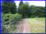
The perimeter path continues around the garden centre as far
as an old farm bridge over the canal passing on the way another
path off to the left to Trowell Church. That path and the rest
of the route in this first part of the Trowell Circular can be
seen in images from January 2004 when we completed this section
but in the opposite direction in A Walk In The Country. We didn't cross the
bridge but turned left to followed the towpath again along the
disused canal.
|
A gentle slope leads down from the bridge to the towpath and
it's interesting to compare this image of the bridge with the
one in a different season in that previous walk. That earlier
picture also shows the keep gates next to the bridge which, resembling
lock gates, were used to drain off sections of the canal for
maintenance. The bridge itself is the original stone bridges
and is now Grade 2 listed. It was built in 1793-95 (with the
adjacent wooden keep gates) and goes by the name of Swansea Bridge,
the name apparently originating from the large numbers of swans
that used to congregate on this part of the canal.
|
Swans are nowhere to be seen nowadays and the sight of water
in the canal is rare too. This picture taken from approximately
the same place as the previous one of the bridge shows the canal
bed full of reeds, rushes, bushes and even trees but in the afternoon
sunshine it makes for a pleasant walk.
|
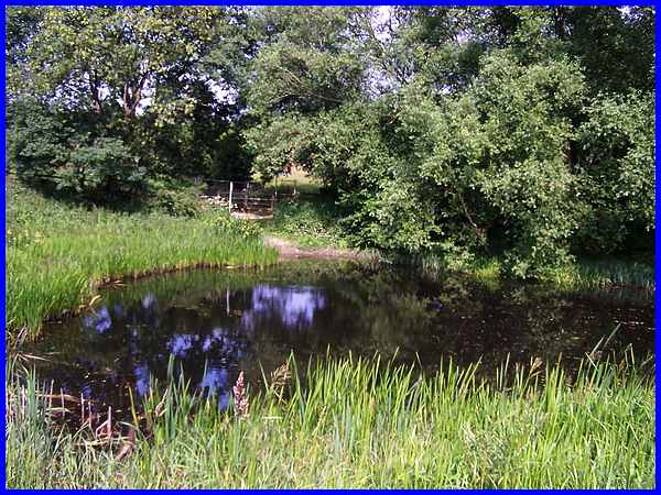
That is not to say that the canal is totally without water and
a little further along is this pond-like area. The canal opened
in 1796 but was finally abandoned in 1936. Since 1977 however
it has been owned and maintained by Broxtowe Borough Council
and much of it is now a nature reserve.
|
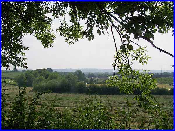
From this point on the noise of traffic on the nearby M1 motorway
visible over to the left increased as the canal and the road
converged.
|
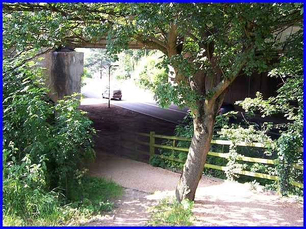
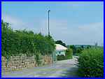
Eventually the route of the canal is interrupted again, this
time by the motorway bridge as it crosses Nottingham Road at
Trowell. The path drops down to pass under the bridge and then
rises again on the other side to continue as the towpath and
that is where we'll pick up the route in Part 02.
|
