Bramcote Hills/Nottingham Canal Circular - Part 01
w/e 04 September 2011
All this week's pictures were taken
with a Kodak DX6490
This circular walk of about three miles with an optional
extension into Trowell Village begins and ends in Bramcote Hills Park and the route was published
some time ago by Broxtowe Borough Council in a booklet titled
"6 of the Best Walks in Broxtowe Borough". Since then
the same walk but with revised and updated directions has appeared
online on the Council's website so armed with both sets of directions
we set off on a warm sunny afternoon at the beginning of September.
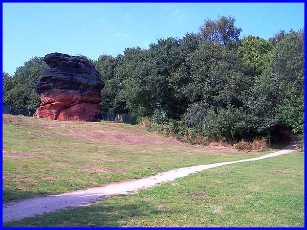
Leaving the car park we crossed Coventry Lane to enter the open
space opposite and climbed the hill to the Hemlock Stone, a sandstone outcrop that has
attracted many myths and legends.
|
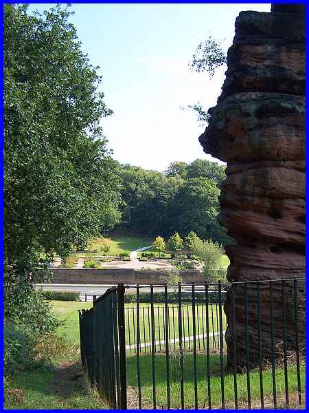
Passing behind the stone we looked back across Coventry Lane
to the Walled Garden in Bramcote Hills Park where the renowned
sculpture "The Refugee" by Naomi Blake, a survivor
of Auschwitz, is situated in the Memorial Garden.
|
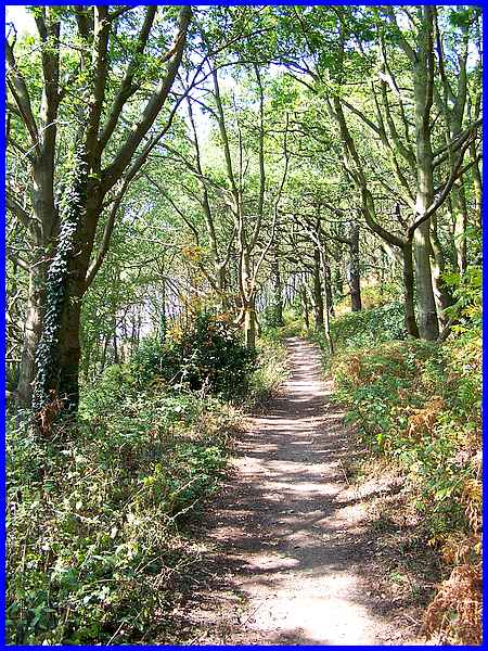
A number of paths lead from behind the Hemlock Stone to the top
of Stapleford
Hill but as we had done this previously we opted for the
one that leads around the hill. It begins with a slight incline
but soon levels off.
|
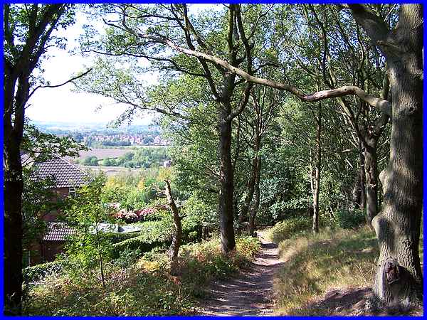
As the path continues behind the houses on Mayfield Drive along
the edge of the wooded hill, it begins to descend but there are
views to be seen along the Erewash Valley between the trees.
|
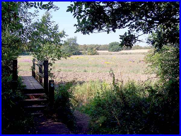
At the edge of the wood, we crossed a wooden footbridge into
a field where pink, purple and yellow wildflowers enlivened the
green of the grass.
|
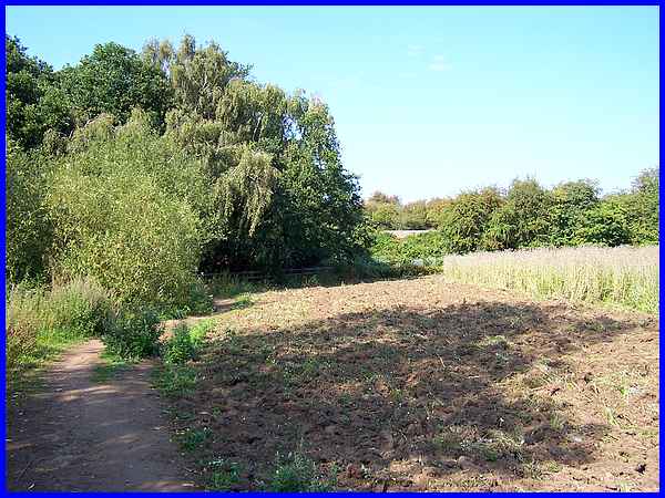
The path leads around the field to a stile in the hedgerow but
a significant gap in the hedge meant that we could easily pass
without actually climbing over the stile.
|
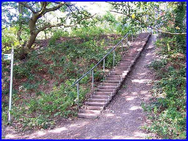
Once past the stile we ignored the "Short Cut" signpost
and climbed this flight of steps turning left at the top.
|
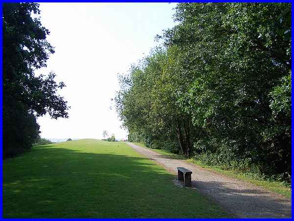
We found ourselves in a large landscaped area that resembled
a golf course but further on football pitches were marked out
on an area that has been levelled. This was the site of the former
Trowell Moor Colliery which was active between 1881 and 1928.
There were still signs of the colliery as late as the 1960s and
70s (and possibly later too) but the whole area has now been
landscaped to create the Pit Lane Recreation Ground.
|
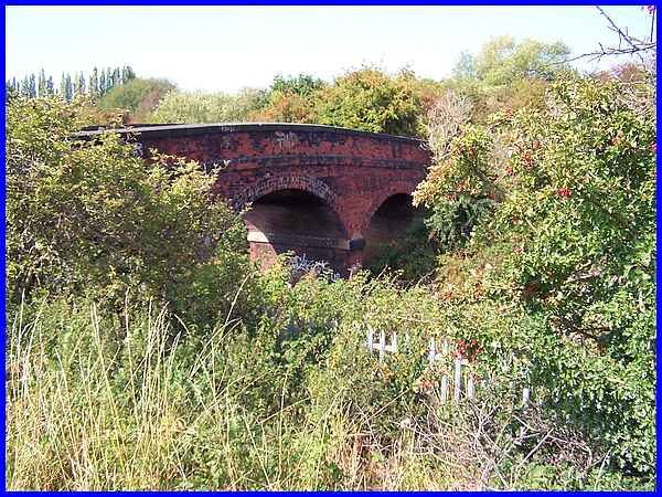
The path continues through the Recreation Ground with the main
railway line from Nottingham to the Erewash Valley on the right
and a bridge across the railway soon came into view. The next
part of this walk took us back to Coventry Lane along the Nottingham
Canal and the third part returned us to Bramcote Hills Park but
the bridge marks the end of this first section.
|
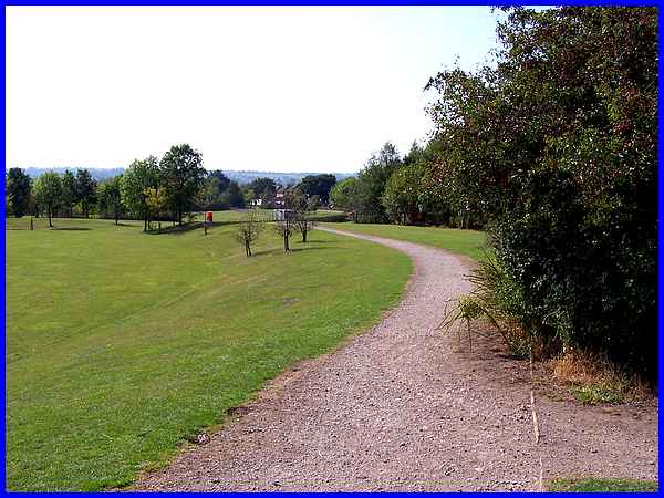
Each section is roughly about a mile in length and the path here
on the right leads over the railway bridge to the Nottingham
Canal and marks the start of the second mile. Once over the bridge
we turned right along the canal but it is from there that the
walk can be extended by turning left to Trowell. Again there
are already pages on this site showing images from a previous walk along the Nottingham Canal
and another showing Trowell Village so we opted for the shorter
route on this occasion. The path ahead though on the south side
of the railway bridge continues to the car park at the end of
Pit Lane which is a convenient point of vehicular access to the
Recreation Ground - but that's for another time.
|
