The Cranfleet Trail - Part 02
w/e 14 February 2010
All this week's pictures were taken
with a Kodak DX6490
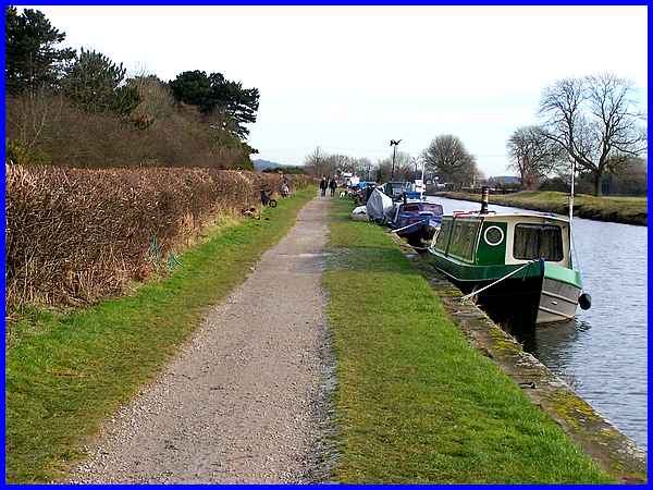
After passing under the two railway bridges and the eighteenth
century stone bridge we found many more narrow boats moored alongside
the Cranfleet Cut as we continued along the towpath towards Cranfleet
Lock.
|
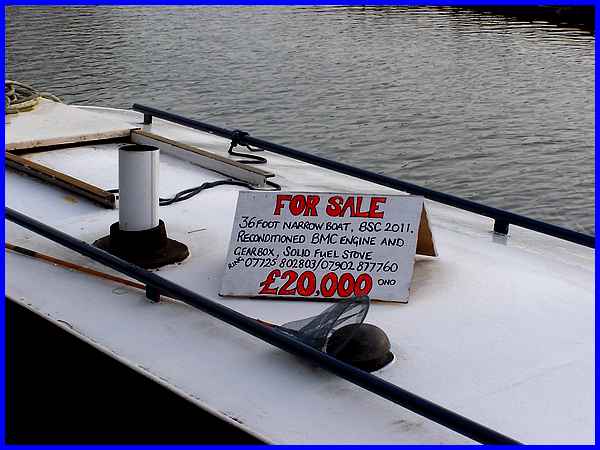
Several of the boats were inhabited, more appeared in mothballs
for the winter and at least one was on sale. Even if in need
of some restoration this one at only £20,000 seemed a bargain
for anyone prepared to give up their land based lives for a life
on the inland waterways.
|
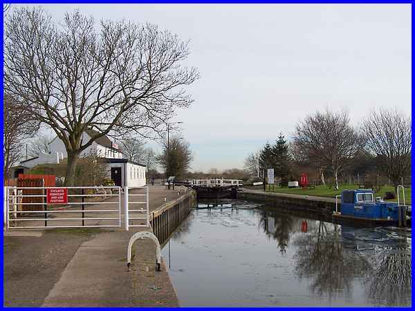
The eastern end of the Cranfleet Cut is at Cranfleet Lock
where the large white cottage was once split into two with the
right hand side being the Lock Keeper's cottage and the left
hand side being stables for the horses that worked along the
towpath hauling vessels carrying loads of up to one hundred times
their body weight. An information board at the lock tells of
how there were openings in the upper floor where hay for bedding
could be thrown down to the stables below. The stored hay above
also acted as insulation to keep the horses warm.
|
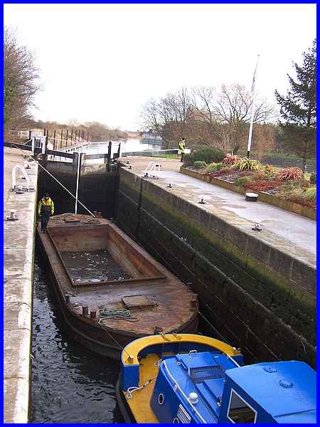
Cranfleet Lock is better known to boatmen as Old Sal's Lock and
at one time the bottom sill of the lock was the shallowest point
between Nottingham and the Trent's junction with the Erewash
Canal. This is known as the "tying point" which means
that any vessel that could float over the sill would be able
to find enough water everywhere else between the city and the
Erewash Canal. The British Waterways vessel that we had passed
as we approached Cranfleet Lock was still some way behind but
two more vessels from the same team were already passing through
the lock and heading for the River Trent beyond and on towards
Nottingham.
|
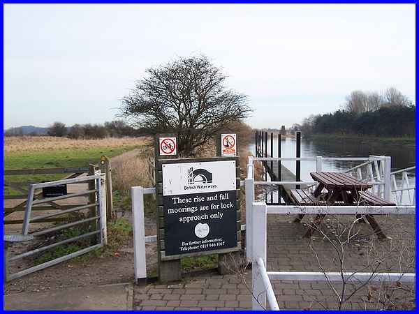
Our route too was to leave the Cranfleet Cut and follow a path
by the river after passing through the car park at the lock and
navigating our way around these barriers and gates.
|
This path is a permissive route designated by the Thrumpton Estate
and although a little way from the riverbank, still provides
views of the river in both directions.
|
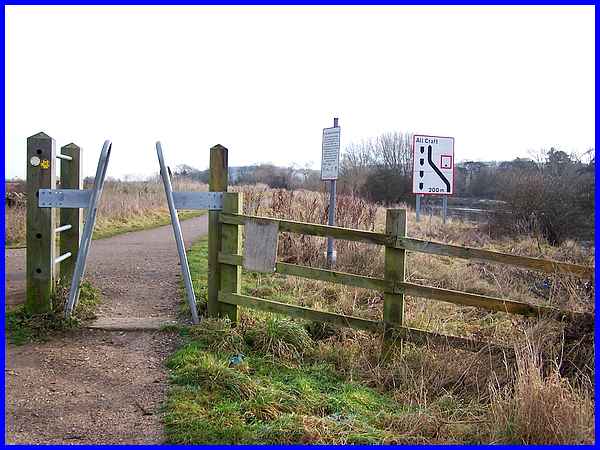
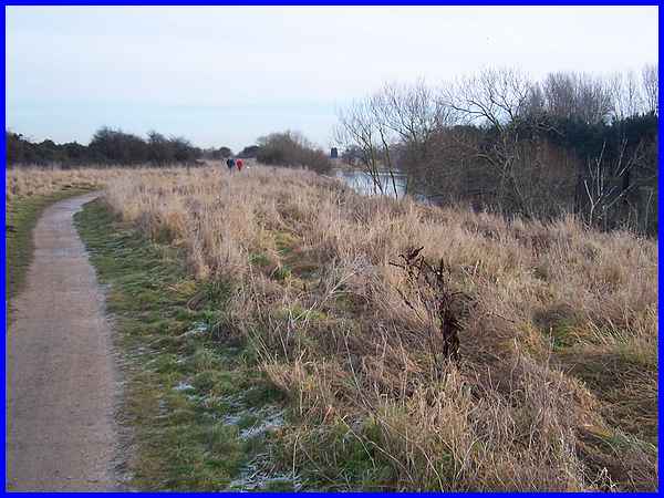
The path soon leads to this squeeze stile and carries on by the
river towards Attenborough, Beeston and Nottingham but it is
here that we turn left to reach Pasture Lane to begin our return
journey to Trent Lock. The route of The Cranfleet Trail was designed
to allow disabled people, the elderly and parents with pushchairs
easy access to the countryside but it should be noted that some
of the stiles and gates could be a little difficult (but by no
means impossible) for wheelchairs and pushchairs to negotiate.
|
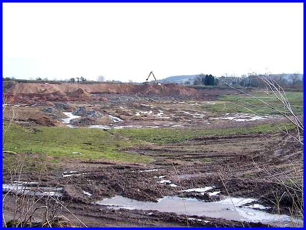
Having turned left at the stile and leaving the river behind,
a glance over to the right reveals sand and gravel workings.
The Attenborough Nature Reserve a little further on was also
the site of former gravel workings and all the deposits in this
area were laid down many many years ago when the River Trent
was much wider and shallower than it is now.
|
