Bramcote - Town and Country
w/e 24 August 2003
A shortened version of Broxtowe Borough Council's
"Bramcote Village" walk
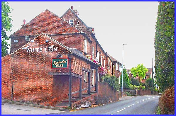
For our circular walk around Bramcote Village and Burnt Hill
we parked on Church Street and then took a left turn into Town
Street, the narrow lane that runs through the village. In many
places there is only room for a footpath on one side of the road
and even then, at the White Lion it has a dual function serving
as an access way to the pub with part of the hostelry overhanging.
|
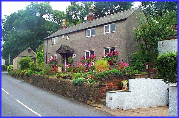
The pub entrance provides a good vantage point for some of the
cottages on Town Street.
|
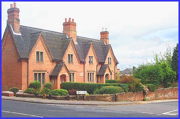
At the junction with Cow Lane, the Francis Longden Alms Houses
stand on the corner. This is the view from the corner of Moss
Drive which forms the next part of the route.
|
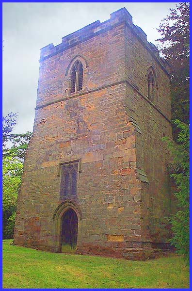
But before continuing up Moss Drive, we must first take note
of the remains of St Luke's Church which stands on the corner.
A small church existed in Bramcote as early as 1246 and it has
been suggested that this tower could have been part of that church.
Whatever the truth, the tower standing in the graveyard is all
that now remains of St Luke's and is known locally as the "Sunken
Church".
|
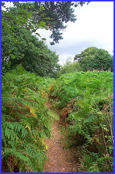
We now head for the country and towards the highest point
of our walk by following a path by iron railings around the waterworks.
Crossing a field and over a stile the route then reaches Burnt
Hill via a fern flanked footpath .....
|
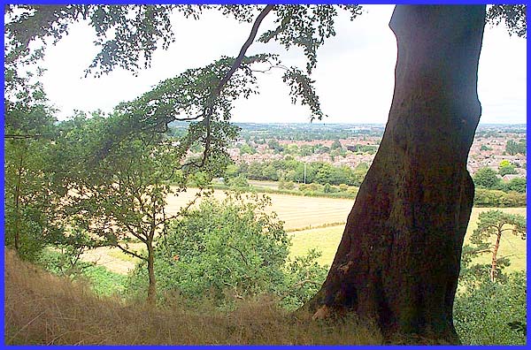
.... from where we can enjoy the view across the surrounding
fields and houses. This one is in the direction of Stanton By
Dale over parts of Bramcote and Stapleford.
|
