Milford Part 02 - West Milford continued
w/e 01 February 2015
All of this week's pictures were
taken with a Kodak DX6490
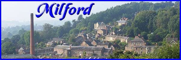
The first part of this walk around the area of Milford
that lies to the west of the River Derwent, after starting on
Chevin Road and a brief look at Derby Road, looked mainly at
a number of locations on Sunny Hill. In this second part we will
return to Chevin Road to complete the walk.
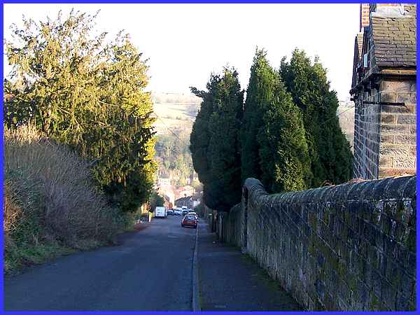
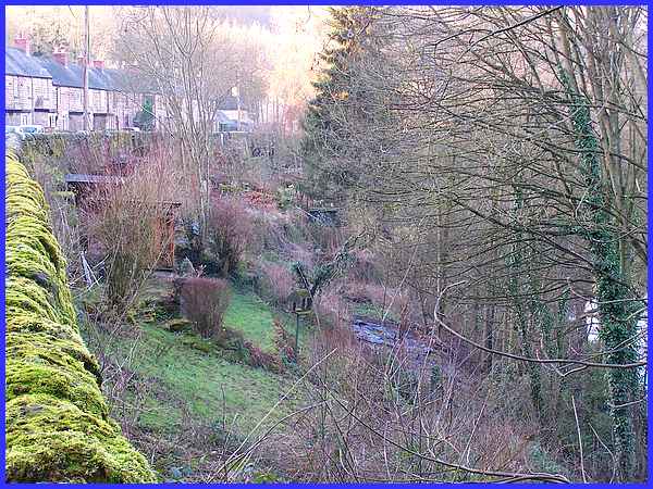
We begin though near the top of Sunny Hill and retrace our steps
down the hill as far as the former Royal Oak public house. It
was much easier going down the hill than the climb up!
|
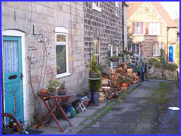
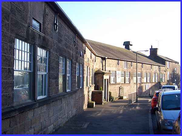
A left turn at the Royal Oak leads into Well Lane, a row of workers'
houses built by Jedediah Strutt between 1792 and 1796.
|
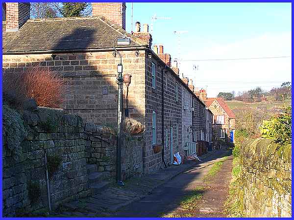
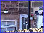  Although of no historic or heritage significance,
before turning into Well Lane we spied a quaint display of old
teapots decorating a corner of a house (left) on Sunny Hill.
These served as substitutes for plant pots and added their own
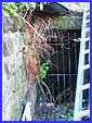
charm to the house. The two-storey stone terrace in Well Lane
is Grade II listed and at the end of the row at the bend in the
lane, the well (right) that gives its name to the lane was rediscovered
in 2002 after being hidden for many years. Although of no historic or heritage significance,
before turning into Well Lane we spied a quaint display of old
teapots decorating a corner of a house (left) on Sunny Hill.
These served as substitutes for plant pots and added their own
charm to the house. The two-storey stone terrace in Well Lane
is Grade II listed and at the end of the row at the bend in the
lane, the well (right) that gives its name to the lane was rediscovered
in 2002 after being hidden for many years.
|

At the end of Well Lane where it joins Chevin Road is another
Grade II listed building like many of those already seen in Milford.
The entrance has been altered but the former Wesleyan Chapel
is substantially the same as when it was built in 1842.
|
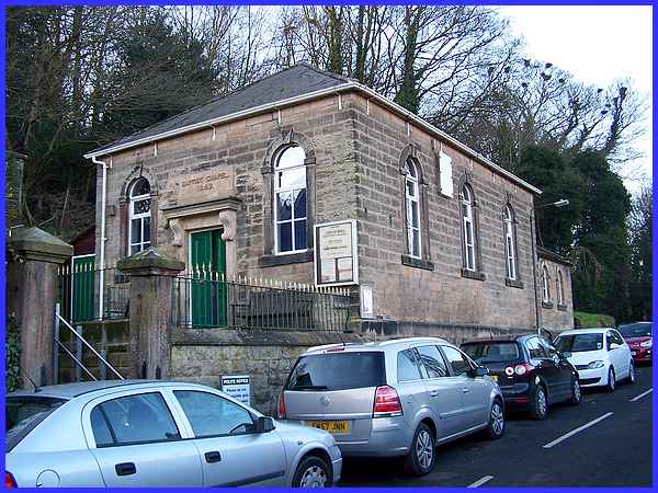
Seven years after the Wesleyan Chapel another chapel, the Milford
Baptist, was built in 1849 a little further to the north along
Chevin Road. This too is Grade II listed and unlike the Wesleyan
which is now used for commercial purposes, the Baptist Chapel
is still a place of worship.
|
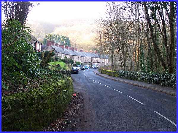
Continuing along Chevin Road we come to the Banks Buildings,
presumably so called because they are on the west bank of the
River Derwent rather than any association with financial institutions.
The history of some of these buildings is interesting as a terrace
of two-storey stone houses built by the Strutts between 1792
and 1796 was demolished and rebuilt as double-fronted houses
with entries in 1911. Other properties here were built about
1820 again by the Strutts.
|
It is also interesting to note that the gardens to the houses
are across the road on the bank of the Derwent. This is the extent
northwards of this walk and the route now returns along Chevin
Road to the start at the interpretation board opposite the Strutt
Arms.
|
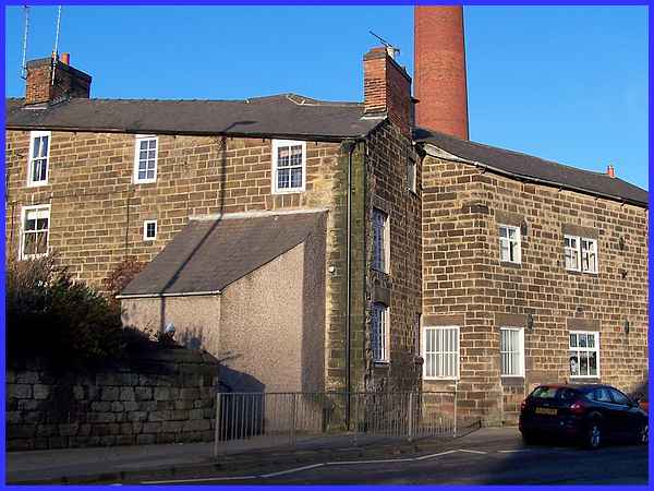
After passing the Baptist Chapel, the former Wesleyan Chapel
and Well Lane, Chevin Road is lined on the left by Milford School.
This is housed on two levels on a sloping site in a Grade II
listed building of circa 1819 to 23 and is another example of
the Strutts' development of the village. The upper storey is
accessed at street level from Chevin Road whilst a gate from
the lower level in the years of child labour enabled pupils to
pass directly into the Mill site enabling them to alternate between
education and work. They were known as "half-time"
children and were probably the forerunner of what we call "work
experience" today.
|
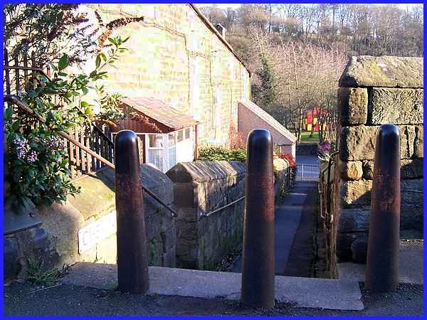
Next to the school and linking Chevin Road with Derby Road is
the circa 1792 terrace called Chevin Alley. The courses of stonework
at the front of the terrace are horizontal and although we didn't
see them, at the rear, they follow the slope of the ground. Another
point of interest here is that the bollards at the top of the
steps as well as the terrace itself, are listed structures.
|
The extension to number 1 at the Derby Road end of Chevin Alley
served as the village Post Office in the twentieth century and
the adjoining buildings are part of the Mill complex, this one
being used as the Mill canteen. The interpretation board is a
little further to the left but the second Heritage Walk starts
by walking along Derby Road passing the end of Chevin Alley and
the Mill buildings.
|
